MyTopo
Highland NW Kansas US Topo Map
Couldn't load pickup availability
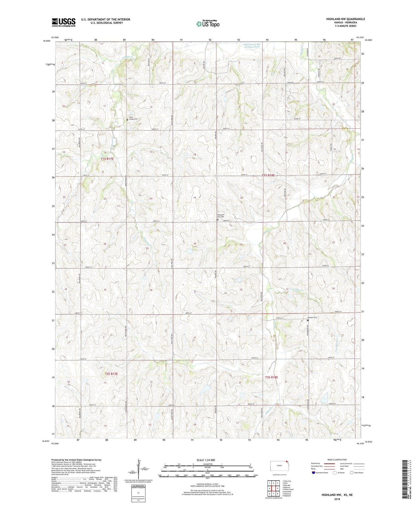
2022 topographic map quadrangle Highland NW in the state of Kansas. Scale: 1:24000. Based on the newly updated USGS 7.5' US Topo map series, this map is in the following counties: Brown, Richardson. The map contains contour data, water features, and other items you are used to seeing on USGS maps, but also has updated roads and other features. This is the next generation of topographic maps. Printed on high-quality waterproof paper with UV fade-resistant inks.
Quads adjacent to this one:
West: Reserve
Northwest: Falls City
North: Rulo
Northeast: Big Lake
East: White Cloud
Southeast: Highland
South: Robinson
Southwest: Hiawatha
Contains the following named places: Bellvue School, Iowa Reservation, Kenyon Cemetery, Laus Creek Cemetery, Lost Shirt Creek, Old Channel Big Nemaha River, Pleasant Hill Cemetery, Shore School, Township of Irving