MyTopo
Ottawa NW Kansas US Topo Map
Couldn't load pickup availability
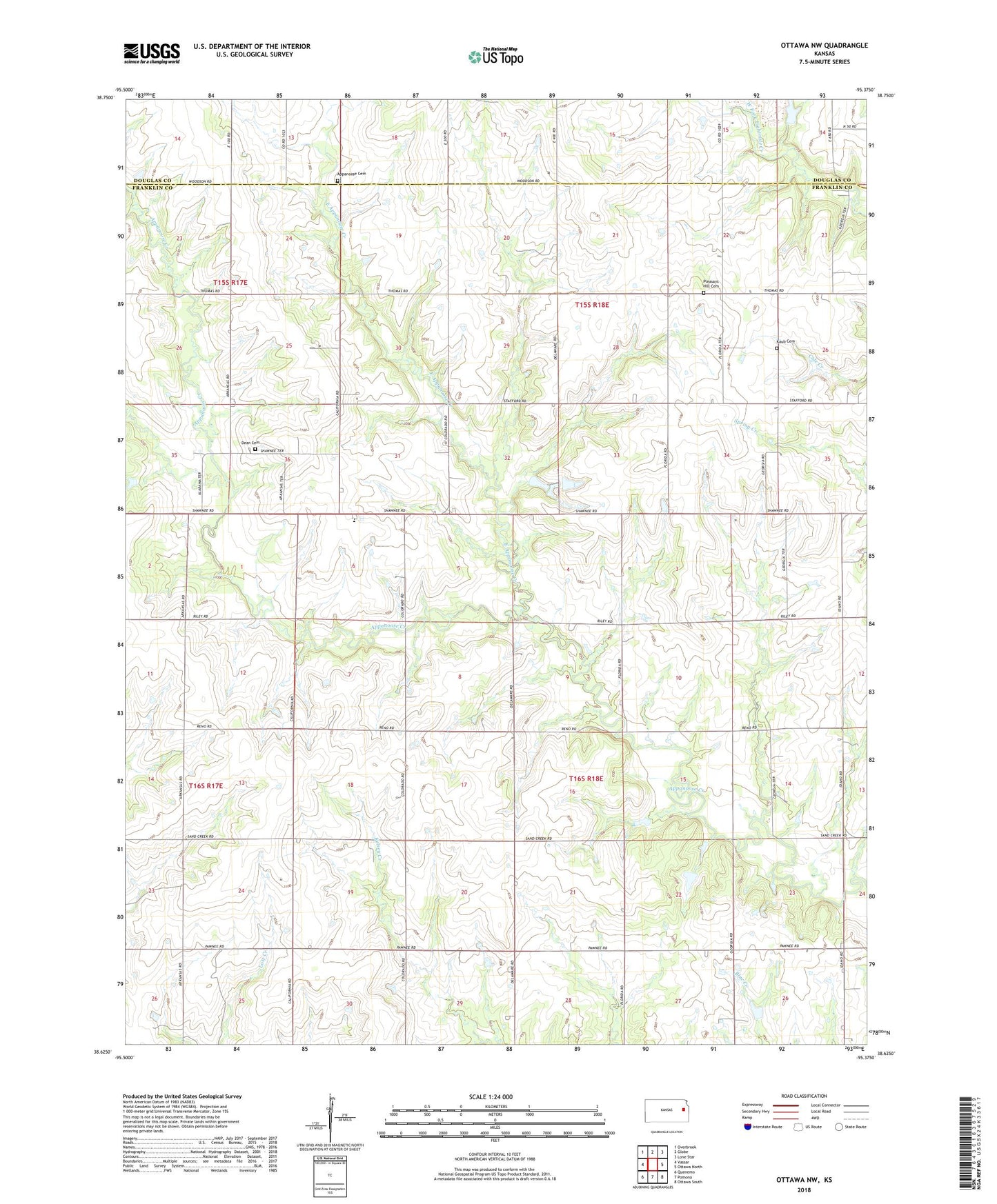
2022 topographic map quadrangle Ottawa NW in the state of Kansas. Scale: 1:24000. Based on the newly updated USGS 7.5' US Topo map series, this map is in the following counties: Franklin, Douglas. The map contains contour data, water features, and other items you are used to seeing on USGS maps, but also has updated roads and other features. This is the next generation of topographic maps. Printed on high-quality waterproof paper with UV fade-resistant inks.
Quads adjacent to this one:
West: Vassar
Northwest: Overbrook
North: Globe
Northeast: Lone Star
East: Ottawa North
Southeast: Ottawa South
South: Pomona
Southwest: Quenemo
This map covers the same area as the classic USGS quad with code o38095f4.
Contains the following named places: Appanoose, Appanoose Baptist Church, Appanoose Brethren Church, Appanoose Cemetery, Appanoose Elementary School, Dean Cemetery, East Appanoose Creek, Eightmile Church, Kaub Cemetery, Pleasant Hill Cemetery, Township of Appanoose, ZIP Code: 66076