MyTopo
Patterson Kansas US Topo Map
Couldn't load pickup availability
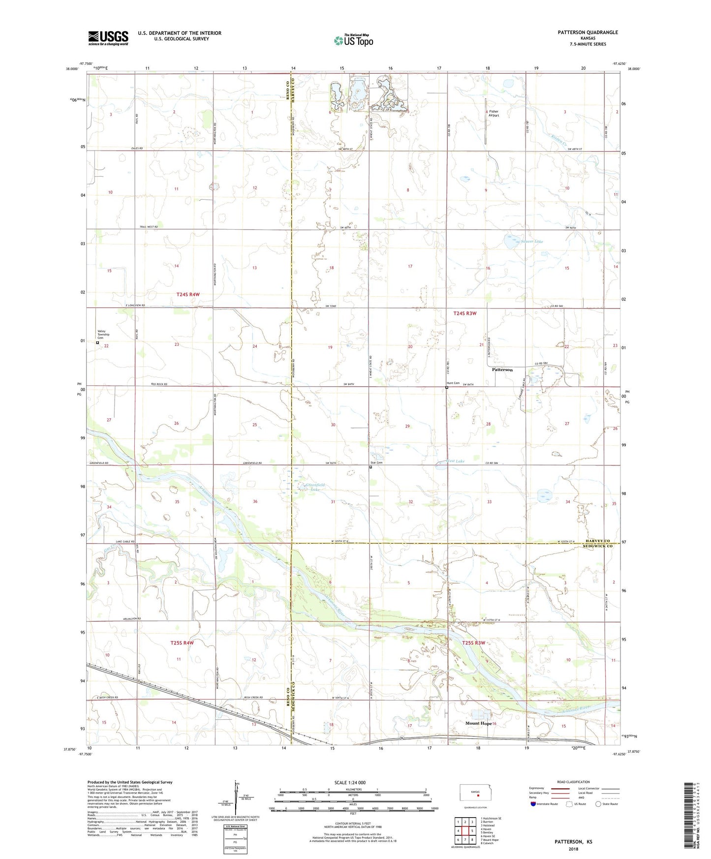
2022 topographic map quadrangle Patterson in the state of Kansas. Scale: 1:24000. Based on the newly updated USGS 7.5' US Topo map series, this map is in the following counties: Harvey, Reno, Sedgwick. The map contains contour data, water features, and other items you are used to seeing on USGS maps, but also has updated roads and other features. This is the next generation of topographic maps. Printed on high-quality waterproof paper with UV fade-resistant inks.
Quads adjacent to this one:
West: Haven
Northwest: Hutchinson SE
North: Burrton
Northeast: Halstead
East: Bentley
Southeast: Colwich
South: Mount Hope
Southwest: Haven SE
This map covers the same area as the classic USGS quad with code o37097h6.
Contains the following named places: Boyle Lakes, Fisher Airport, Gar Creek, Greenfield Lake, Hunt Cemetery, Meadow Lake, Patterson, Patterson Lake, Saucer Lake, Star Cemetery, Team Marketing Alliance Grain Elevator Number 32, Township of Lake, Valley Township Cemetery, West Lake