MyTopo
Sabetha Kansas US Topo Map
Couldn't load pickup availability
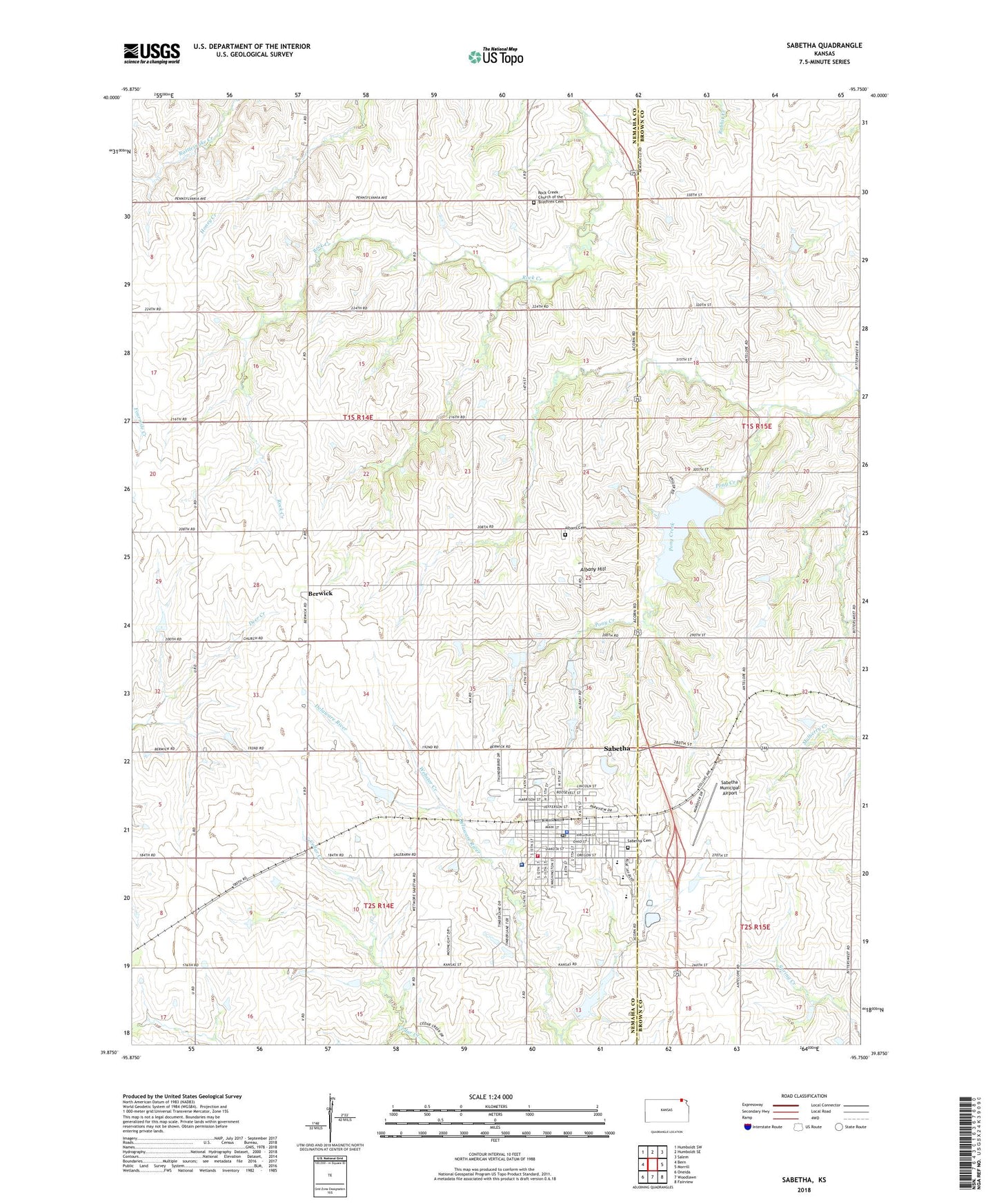
2022 topographic map quadrangle Sabetha in the state of Kansas. Scale: 1:24000. Based on the newly updated USGS 7.5' US Topo map series, this map is in the following counties: Nemaha, Brown. The map contains contour data, water features, and other items you are used to seeing on USGS maps, but also has updated roads and other features. This is the next generation of topographic maps. Printed on high-quality waterproof paper with UV fade-resistant inks.
Quads adjacent to this one:
West: Bern
Northwest: Humboldt SW
North: Humboldt SE
Northeast: Salem
East: Morrill
Southeast: Fairview
South: Woodlawn
Southwest: Oneida
This map covers the same area as the classic USGS quad with code o39095h7.
Contains the following named places: Albany, Albany Cemetery, Albany Hill, Albany School, Apostolic Christian Church, Berwick, Berwick School, Calvary Baptist Church, Christian Apostolic Church, City of Sabetha, Cowpoke Mobile Home Park, Farmers Co - Operative Elevator Grain Elevator Number 1, First Lutheran Church, Mary Cotton Pubic Library, Nemaha County Community Health Services, Northridge Church, Parks Chapel African Methodist Episcopal Church, Rock Creek Cemetery, Rock Creek School, Sabetha, Sabetha Cemetery, Sabetha Church of Christ, Sabetha Community Hospital, Sabetha Elementary School, Sabetha EMS, Sabetha Fire Department, Sabetha First United Methodist Church, Sabetha Golf Club, Sabetha High School, Sabetha Middle School, Sabetha Municipal Airport, Sabetha Municipal Power Plant, Sabetha Police Department, Sabetha Post Office, Sabetha Wastewater Treatment Facility, Sabetha Wetmore Unified School District Central Office, Sacred Heart Catholic Church, Township of Berwick, Trinity Church of the Brethren, Twin Oaks Church, United Brethren in Christ Church, Webster Creek, Wesleyan Church, ZIP Code: 66534