MyTopo
Saint John South Kansas US Topo Map
Couldn't load pickup availability
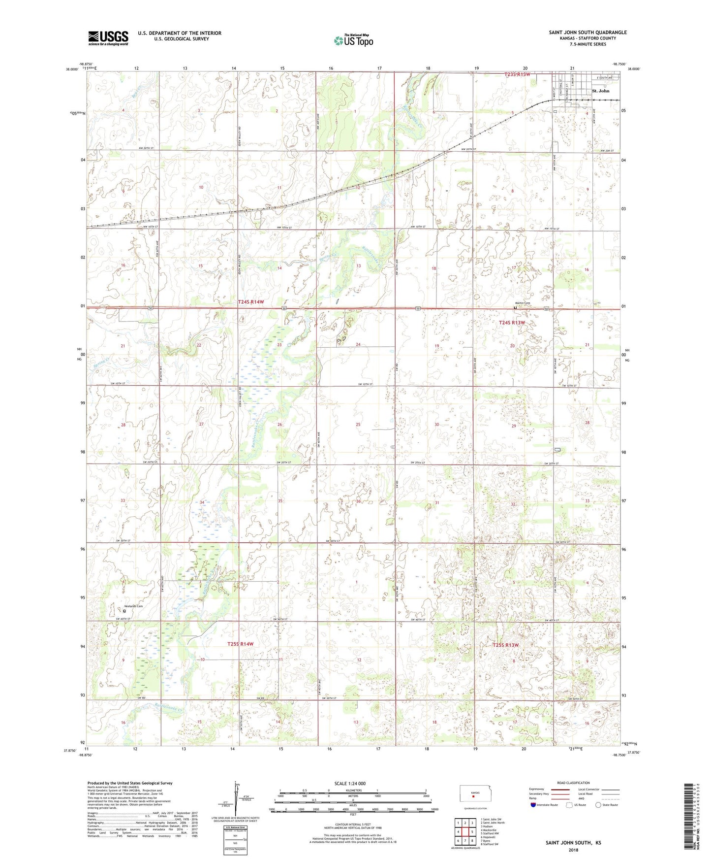
2022 topographic map quadrangle Saint John South in the state of Kansas. Scale: 1:24000. Based on the newly updated USGS 7.5' US Topo map series, this map is in the following counties: Stafford. The map contains contour data, water features, and other items you are used to seeing on USGS maps, but also has updated roads and other features. This is the next generation of topographic maps. Printed on high-quality waterproof paper with UV fade-resistant inks.
Quads adjacent to this one:
West: Macksville
Northwest: Saint John SW
North: Saint John North
Northeast: Hudson
East: Stafford NW
Southeast: Stafford SW
South: Byers
Southwest: Hopewell
This map covers the same area as the classic USGS quad with code o37098h7.
Contains the following named places: Independent Order of Odd Fellows Lodge Number 539, Kanza Co - Operative Association Grain Elevator Number 8, Livingston, Martin Cemetery, Neelands Cemetery, Our Carter, Rattlesnake Southeast Oil Field, Rattlesnake Southwest Oil Field, Spring Creek, St. John Municipal Power Plant, Stafford County Health Department, Township of Richland