MyTopo
Vermillion Kansas US Topo Map
Couldn't load pickup availability
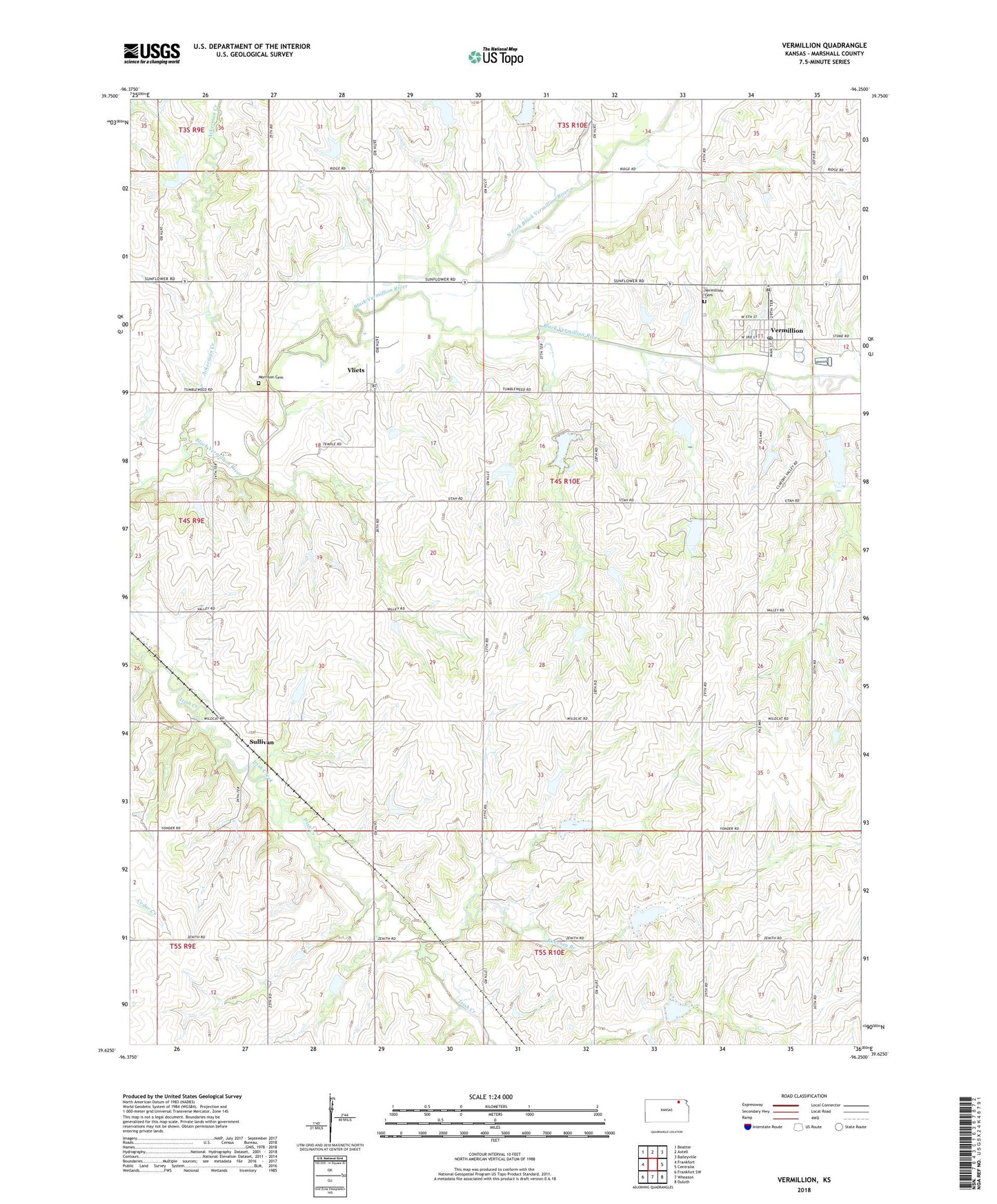
2022 topographic map quadrangle Vermillion in the state of Kansas. Scale: 1:24000. Based on the newly updated USGS 7.5' US Topo map series, this map is in the following counties: Marshall. The map contains contour data, water features, and other items you are used to seeing on USGS maps, but also has updated roads and other features. This is the next generation of topographic maps. Printed on high-quality waterproof paper with UV fade-resistant inks.
Quads adjacent to this one:
West: Frankfort
Northwest: Beattie
North: Axtell
Northeast: Baileyville
East: Centralia
Southeast: Duluth
South: Wheaton
Southwest: Frankfort SW
This map covers the same area as the classic USGS quad with code o39096f3.
Contains the following named places: Ackerman Creek, City of Vermillion, Kearney Branch, Morrison Cemetery, North Fork Black Vermillion River, Sullivan, Township of Noble, Vermillion, Vermillion Cemetery, Vermillion Post Office, Vermillion Public Library, Vermillion Unified School District Office, Vermillion United Methodist Church, Vermillion Wastewater Treatment Facility, Vliets, ZIP Code: 66544