MyTopo
Zyba Kansas US Topo Map
Couldn't load pickup availability
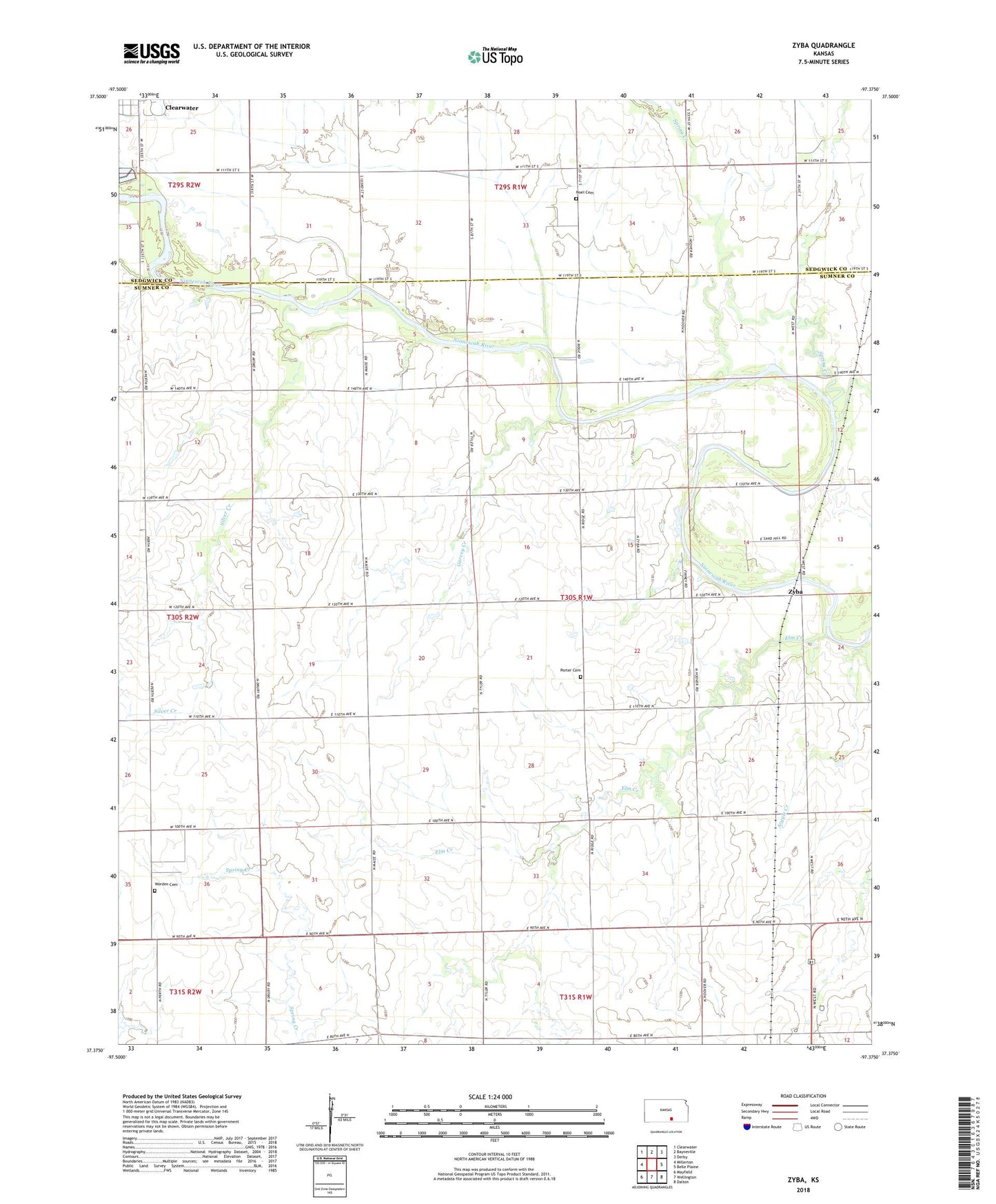
2022 topographic map quadrangle Zyba in the state of Kansas. Scale: 1:24000. Based on the newly updated USGS 7.5' US Topo map series, this map is in the following counties: Sumner, Sedgwick. The map contains contour data, water features, and other items you are used to seeing on USGS maps, but also has updated roads and other features. This is the next generation of topographic maps. Printed on high-quality waterproof paper with UV fade-resistant inks.
Quads adjacent to this one:
West: Millerton
Northwest: Clearwater
North: Bayneville
Northeast: Derby
East: Belle Plaine
Southeast: Dalton
South: Wellington
Southwest: Mayfield
This map covers the same area as the classic USGS quad with code o37097d4.
Contains the following named places: Anson Oil Field, Argyle Creek, Boon, Clearwater Wastewater Treatment Facility, Dublin, Elm Creek, Garvey Creek, Mallory, New Bedford, Noel Cemetery, Peck Oil Field, Porter Cemetery, Silver Creek, Spring Creek, Township of London, Turtle Creek, Worden Cemetery, Zyba, Zyba Oil Field