MyTopo
Ashbrook Kentucky US Topo Map
Couldn't load pickup availability
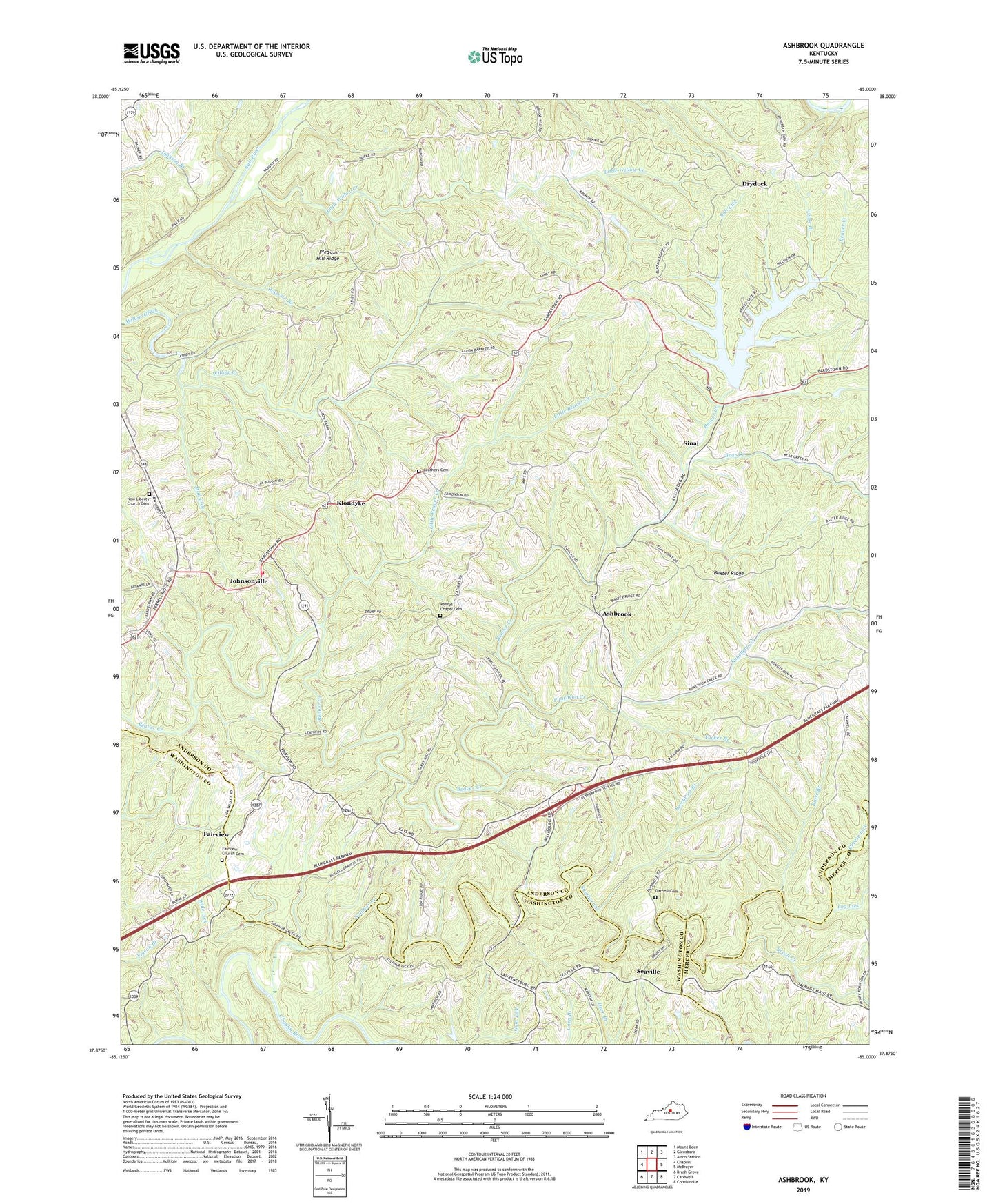
2022 topographic map quadrangle Ashbrook in the state of Kentucky. Scale: 1:24000. Based on the newly updated USGS 7.5' US Topo map series, this map is in the following counties: Anderson, Washington, Mercer. The map contains contour data, water features, and other items you are used to seeing on USGS maps, but also has updated roads and other features. This is the next generation of topographic maps. Printed on high-quality waterproof paper with UV fade-resistant inks.
Quads adjacent to this one:
West: Chaplin
Northwest: Mount Eden
North: Glensboro
Northeast: Alton Station
East: McBrayer
Southeast: Cornishville
South: Cardwell
Southwest: Brush Grove
This map covers the same area as the classic USGS quad with code o37085h1.
Contains the following named places: Anderson County Fire District Station 4, Antioch Christian Church, Antioch Post Office, Ashbrook, Baxter Ridge, Bear Creek, Beaver Creek Post Office, Beaver Lake, Beaver Lake Boat Dock, Beechroot Branch, Brush Creek, Buntain School, Cheese Lick, Darnell Cemetery, Drydock, Fairview, Fairview Church Cemetery, Friendship Church, Goose Branch, Hooppole Post Office, Jefferies, Johnsonville, Kirkland Post Office, Kirkland School, Klondyke, Leathers Cemetery, Leathers Store Post Office, Little Beaver Creek, Little Willow Creek, Log Lick, Mount Pleasant Church, Mud Lick, New Liberty Church Cemetery, Pennys Chapel Cemetery, Pennys Chapel Methodist Church, Pleasant Hill Ridge, Puncheon Creek, Raccoon Branch, Raise Branch, Rutherford School, Salt Lick, Searcy School, Seaville, Seaville Post Office, Shiloh Church, Sinai, Sinai Post Office, Southwest Anderson Division, Stinnett Post Office, Sulphur Creek, Tucker Branch, Vandyke Mill, Vandyke Post Office, Western School


