MyTopo
Bradfordsville Kentucky US Topo Map
Couldn't load pickup availability
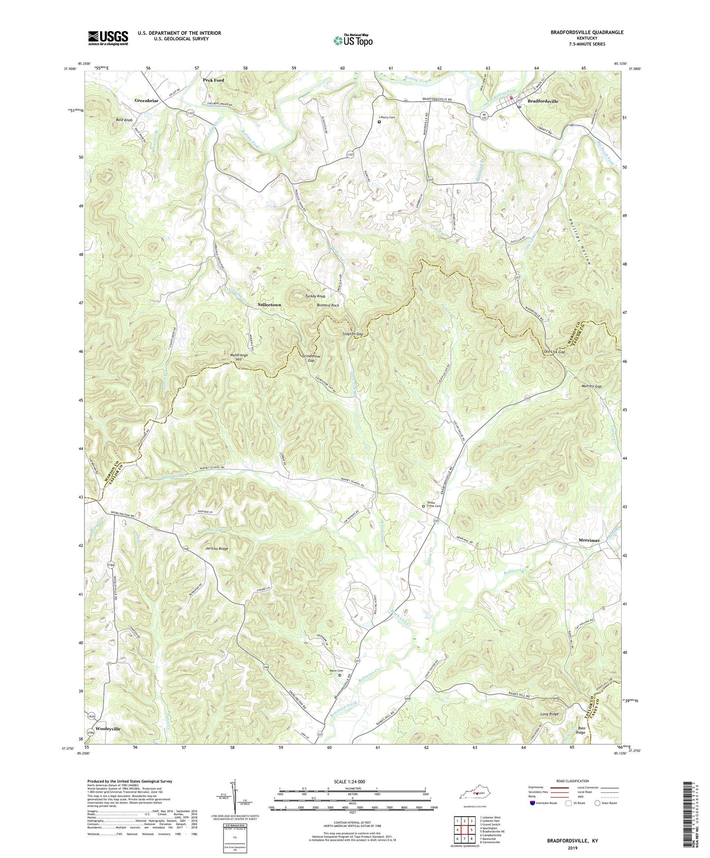
2022 topographic map quadrangle Bradfordsville in the state of Kentucky. Scale: 1:24000. Based on the newly updated USGS 7.5' US Topo map series, this map is in the following counties: Taylor, Marion, Casey. The map contains contour data, water features, and other items you are used to seeing on USGS maps, but also has updated roads and other features. This is the next generation of topographic maps. Printed on high-quality waterproof paper with UV fade-resistant inks.
Quads adjacent to this one:
West: Spurlington
Northwest: Lebanon West
North: Lebanon East
Northeast: Gravel Switch
East: Bradfordsville NE
Southeast: Clementsville
South: Mannsville
Southwest: Campbellsville
This map covers the same area as the classic USGS quad with code o37085d2.
Contains the following named places: Arbuckle, Arbuckle Creek, Aurbuckle, Bald Knob, Barney School, Big South Fork, Black Lick Creek, Bradfordsville, Bradfordsville Fire Department, Bradfordsville Post Office, Brewster Branch, Buzzard Rock, Cabin Branch, City of Bradfordsville, Cotton Branch, Cudler Creek, Fisher Creek, Greenbriar, Grindstone Gap, Grundy School, Jericho Ridge, Jericho School, Liberty Cemetery, Mann Cemetery, Mannsville Division, Medlock, Medlock Creek, Merrimac, Milk and Mush Creek, Mission Church, Murrell Branch, Murrell Gap, North Rolling Fork, Old Lick Creek, Old Lick Gap, Peck Ford, Phillips Hollow, Rakeshill School, Reed School, Salleetown, Sapp Branch, Scanland Branch, Slate Lick Branch, Stayton Gap, Tallow Creek, Tallow Creek Cemetery, Tallow Creek School, Turkey Knob, Wooleyville


