MyTopo
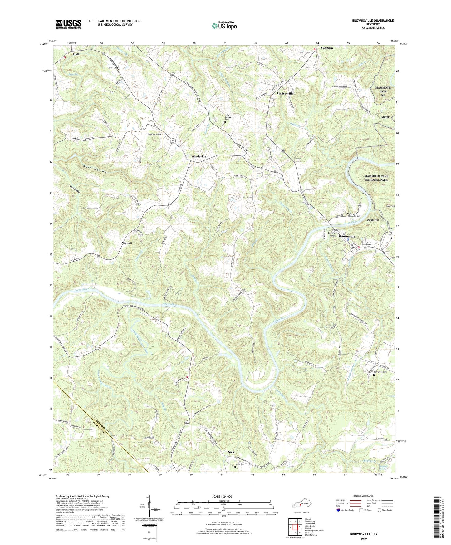
Brownsville Kentucky US Topo Map
Couldn't load pickup availability
2022 topographic map quadrangle Brownsville in the state of Kentucky. Scale: 1:24000. Based on the newly updated USGS 7.5' US Topo map series, this map is in the following counties: Edmonson, Warren. The map contains contour data, water features, and other items you are used to seeing on USGS maps, but also has updated roads and other features. This is the next generation of topographic maps. Printed on high-quality waterproof paper with UV fade-resistant inks.
Quads adjacent to this one:
West: Reedyville
Northwest: Ready
North: Bee Spring
Northeast: Nolin Lake
East: Rhoda
Southeast: Smiths Grove
South: Bristow
Southwest: Bowling Green North
This map covers the same area as the classic USGS quad with code o37086b3.
Contains the following named places: Alexander Cemetery, Alexander Creek, Asphalt, Bear Creek Fire Department, Beaverdam Creek, Brownsville, Brownsville Fire Department, Brownsville North Division, Brownsville Post Office, Camp Joy, City of Brownsville, Crooked Branch, Cub Creek, Edmonson County Ambulance Service, Edmonson County Sheriff's Office, Grassland, Green River Lock Number 6, Gulf Hollow, Hawks Cemetery, Holly Springs Cemetery, Holly Springs Church, Honey Creek, Huff, Indian Creek, Indian Hill, Kyrock Fire Department, Laurel Branch, Limestone Branch, Lindseyville, Little Beaverdam Creek, Long Branch, Lovers Leap, Mount Zion Church, Music Branch, New Home Church, New Liberty Church, Nick, Oak Grove Cemetery, Oak Grove Church, Oak Hill Church, Old New Liberty Church, Pine Grove Church, Pleasant Grove Church, Pleasant Union Church, Poplar Springs Church, Potato Hill, Sally Branch, Shingle Machine Branch, Shipley Knob, Sulphur Branch, Sulphur Spring, White Oak Fork, Windyville, Wingfield Church, Wingfield Fire Department, ZIP Code: 42210


