MyTopo
Bowling Green North Kentucky US Topo Map
Couldn't load pickup availability
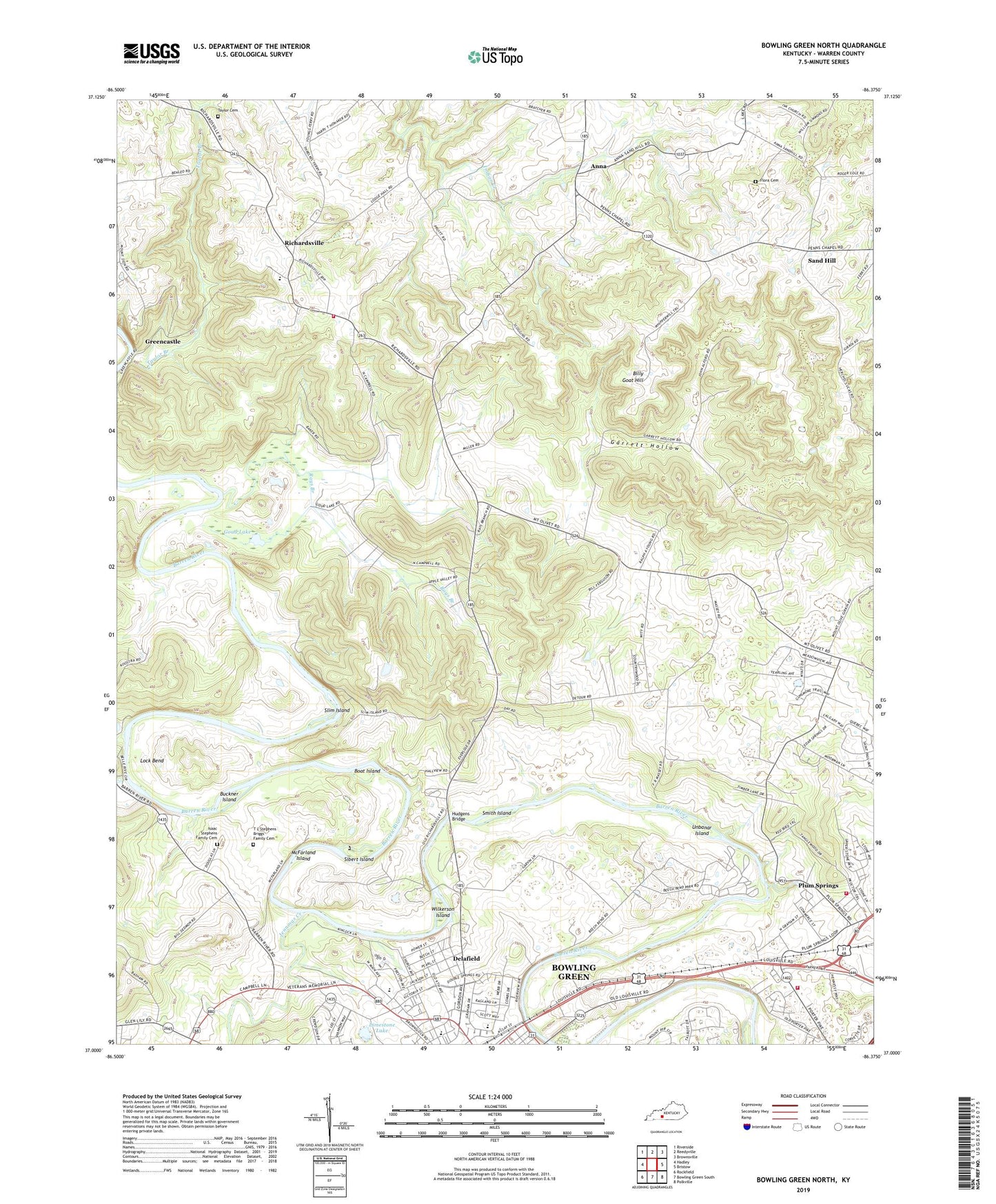
2022 topographic map quadrangle Bowling Green North in the state of Kentucky. Scale: 1:24000. Based on the newly updated USGS 7.5' US Topo map series, this map is in the following counties: Warren. The map contains contour data, water features, and other items you are used to seeing on USGS maps, but also has updated roads and other features. This is the next generation of topographic maps. Printed on high-quality waterproof paper with UV fade-resistant inks.
Quads adjacent to this one:
West: Hadley
Northwest: Riverside
North: Reedyville
Northeast: Brownsville
East: Bristow
Southeast: Polkville
South: Bowling Green South
Southwest: Rockfield
This map covers the same area as the classic USGS quad with code o37086a4.
Contains the following named places: Anna, Baker Hill Historical Marker, Beech Bend Park, Billy Goat Hill, Boat Island, BOWLING GREEN Fire Department STATION 5, Buckner Island, Christ Fellowship Church, City of Plum Springs, Delafield, Duncan Hines Historical Marker, Flora Cemetery, Fort Webb Historical Marker, Garrett Hollow, Goud Lake, Green River Union Church, Green River Union Meeting House Historical Marker, Greencastle, Hobson Grove Park, Hobson House Historical Marker, Hudgens Bridge, Isaac Stephens Family Cemetery, Iva Church, Jennings Creek, Lelafield School, Limestone Lake, Lock Bend, McFarland Island, Mount Olivet Church, Mount Zion Church, Parker Bennet School, Plum Springs, Rays Branch, Rays Branch Church, Richardsville, Richardsville Volunteer Fire Department, Richardsville Volunteer Fire Department Station 3, Saint Josephs School, Sand Hill, Sand Hill Church, Sibert Island, Slim Island, Smith Island, Taylor Branch, Taylor Cemetery, Thomas L Stephens Family Cemetery, Unbanar Island, Valley View Church, WBGN-AM (Bowling Green), WBKO-TV (Bowling Green), Wilkerson Island, WKCT-AM (Bowling Green), WKYU-TV (Bowling Green), ZIP Codes: 42101, 42102


