MyTopo
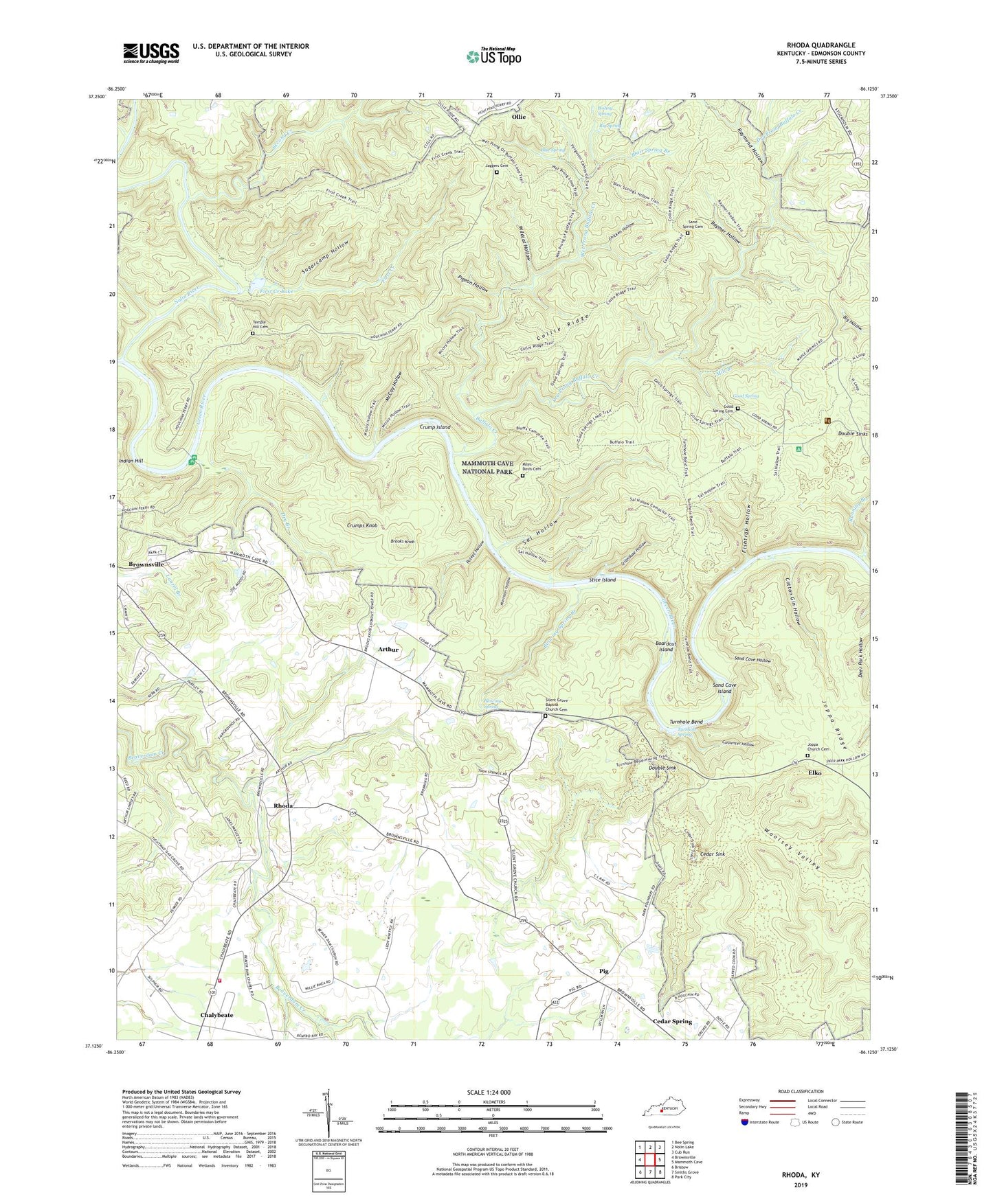
Rhoda Kentucky US Topo Map
Couldn't load pickup availability
2022 topographic map quadrangle Rhoda in the state of Kentucky. Scale: 1:24000. Based on the newly updated USGS 7.5' US Topo map series, this map is in the following counties: Edmonson. The map contains contour data, water features, and other items you are used to seeing on USGS maps, but also has updated roads and other features. This is the next generation of topographic maps. Printed on high-quality waterproof paper with UV fade-resistant inks.
Quads adjacent to this one:
West: Brownsville
Northwest: Bee Spring
North: Nolin Lake
Northeast: Cub Run
East: Mammoth Cave
Southeast: Park City
South: Smiths Grove
Southwest: Bristow
This map covers the same area as the classic USGS quad with code o37086b2.
Contains the following named places: Arthur, Beaver Dam Chapel, Beaver Dam Church, Big Spring, Blair Spring Branch, Blowing Spring, Blowing Spring Branch, Blue Spring, Boardcut Island, Boiling Spring, Brooks Knob, Brownsville Division, Buffalo Creek, Carpenter Hollow, Cedar Sink, Cedar Spring Valley, Chalybeate, Chalybeate Fire Department, Chicken Hollow, Collie Ridge, Cotton Gin Hollow, Crump Island, Crumps Knob, Davis - Miles Cemetery, Double Sink, Dry Branch, Dry Prong Buffalo Creek, Edmonson County, Elko, Fairview, First Creek, First Creek Lake, Fishtrap Hollow, Good Spring, Good Spring Baptist Church Cemetery, Good Spring Church, Houchins Ferry, Jaggers Cemetery, Jappa Ridge, Joppa Cemetery, Joppa Church, Mammoth Cave Division, Mammoth Cave National Park, Maple Springs Group Campground, Maple Springs Ranger Station, McCoy Hollow, Mill Branch, Morrison Hollow, Nolin River, Pig, Pigeon Hollow, Pine Creek, Poteet Hollow, Raymer Hollow, Raymond Hollow, Rhoda, Running Branch, Sal Hollow, Sand Cave Hollow, Sand Cave Island, Sand Spring Cemetery, Second Creek, Silent Grove Baptist Church, Silent Grove Baptist Church Cemetery, Smith Valley, Stice Island, Stillhouse Hollow, Stockholm, Stockholm Church, Sugarcamp Hollow, Temple Hill Cemetery, Temple Hill Church, Turnhole Bend, Turnhole Spring, Wet Prong Buffalo Creek, Wildcat Hollow, Woolsey Valley, ZIP Code: 42259


