MyTopo
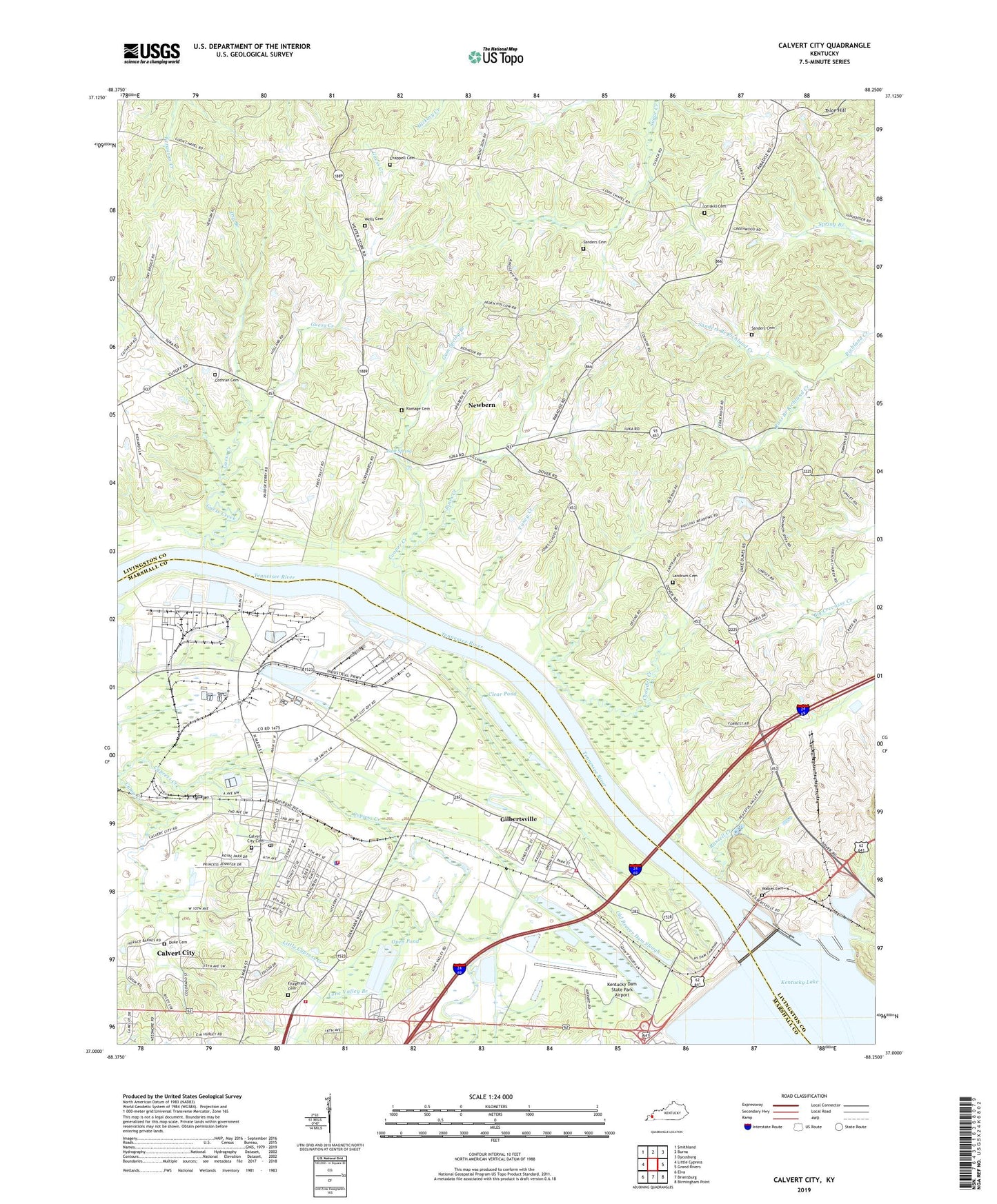
Calvert City Kentucky US Topo Map
Couldn't load pickup availability
Also explore the Calvert City Forest Service Topo of this same quad for updated USFS data
2022 topographic map quadrangle Calvert City in the state of Kentucky. Scale: 1:24000. Based on the newly updated USGS 7.5' US Topo map series, this map is in the following counties: Livingston, Marshall. The map contains contour data, water features, and other items you are used to seeing on USGS maps, but also has updated roads and other features. This is the next generation of topographic maps. Printed on high-quality waterproof paper with UV fade-resistant inks.
Quads adjacent to this one:
West: Little Cypress
Northwest: Smithland
North: Burna
Northeast: Dycusburg
East: Grand Rivers
Southeast: Birmingham Point
South: Briensburg
Southwest: Elva
This map covers the same area as the classic USGS quad with code o37088a3.
Contains the following named places: Beechwood, Calvert City, Calvert City Cemetery, Calvert City Fire Department, Calvert City Fire Department Riley Station, Calvert City Police Department, Calvert City Post Office, Camp Creek, Chappell Cemetery, Chaudet Creek, City of Calvert City, Clear Pond, Coon Chapel, Cooper Creek, Cooper Landing, Corinth Church, Cothran Cemetery, Driskill Cemetery, Dry Branch, Duke Cemetery, Fitzgerald Cemetery, Friendship Baptist Church, Gilbertsville, Gilbertsville Census Designated Place, Gilbertsville Fire Department Station 1, Grand Lakes Fire Department Station 2, Guess Creek, Gum Spring, Gum Spring Branch, Haddox Ferry, Jones Creek, Kentucky Dam, Kentucky Dam Boat Basin, Kentucky Dam Marina, Kentucky Dam State Park Airport, Kentucky Dam Tree Nursery, Kentucky Dam Village State Park, Landrum Cemetery, Little Cypress Creek, Livingston County Emergency Medical Services, Lone Valley Branch, Lucus Store, Newbern, Old Beaver Dam Slough, Open Pond, Paradise Church, Ramage Cemetery, Ross Branch Richland Creek, Russell Creek, Sanders Branch Richland Creek, Sanders Cemetery, Sanders Cemetery Number 2, Smithland Division, Stanley Landing, Trice Hill, Walker Cemetery, Wells Cemetery, West Gilbertsville Station, Yancy Creek, ZIP Code: 42045


