MyTopo
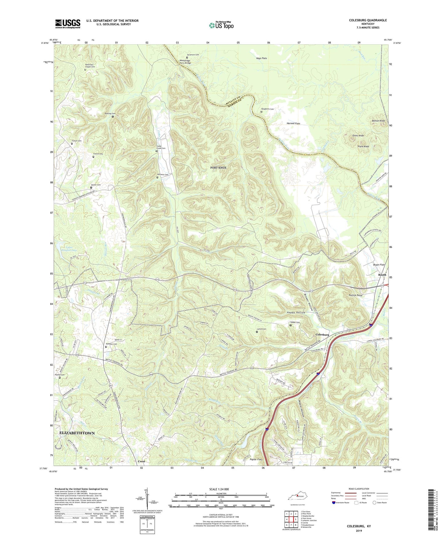
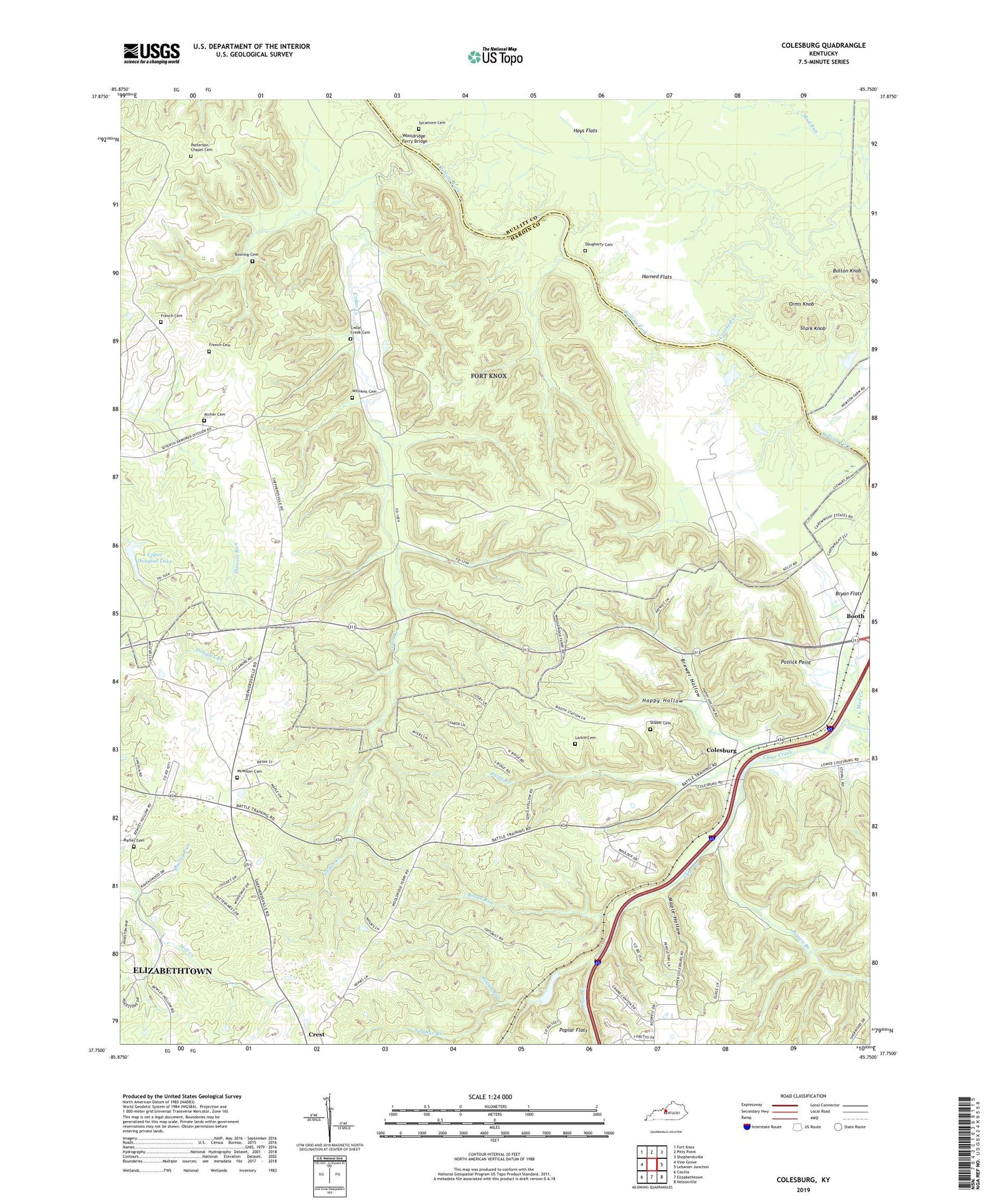
Colesburg Kentucky US Topo Map
Couldn't load pickup availability
2022 topographic map quadrangle Colesburg in the state of Kentucky. Scale: 1:24000. Based on the newly updated USGS 7.5' US Topo map series, this map is in the following counties: Hardin, Bullitt. The map contains contour data, water features, and other items you are used to seeing on USGS maps, but also has updated roads and other features. This is the next generation of topographic maps. Printed on high-quality waterproof paper with UV fade-resistant inks.
Quads adjacent to this one:
West: Vine Grove
Northwest: Fort Knox
North: Pitts Point
Northeast: Shepherdsville
East: Lebanon Junction
Southeast: Nelsonville
South: Elizabethtown
Southwest: Cecilia
This map covers the same area as the classic USGS quad with code o37085g7.
Contains the following named places: Atcher Cemetery, Bewley Run, Bolton Knob, Booth, Bowling Cemetery, Brewer Hollow, Broad Run, Brown Branch, Bryan Flats, Cedar Creek, Cedar Creek Cemetery, Colesburg, Crest, Crooked Creek, Daugherty Cemetery, French Cemetery, Happy Hollow, Harned Flats, Hays Flats, Larkin Cemetery, Maffet Cemetery, Maple Hollow, Mc Millen Cemetery, Mud Creek, Mud Run, Orms Knob, Patterson Chapel Cemetery, Patty Branch, Poplar Flats, Potlick Point, Rough Run, Saint Clare Church, Stader Cemetery, Stark Knob, Sulphur Branch, Sycamore Cemetery, Sycamore Church, Upper Douglas Lake, Williams Cemetery, Wooldridge Ferry Bridge


