MyTopo
Lebanon Junction Kentucky US Topo Map
Couldn't load pickup availability
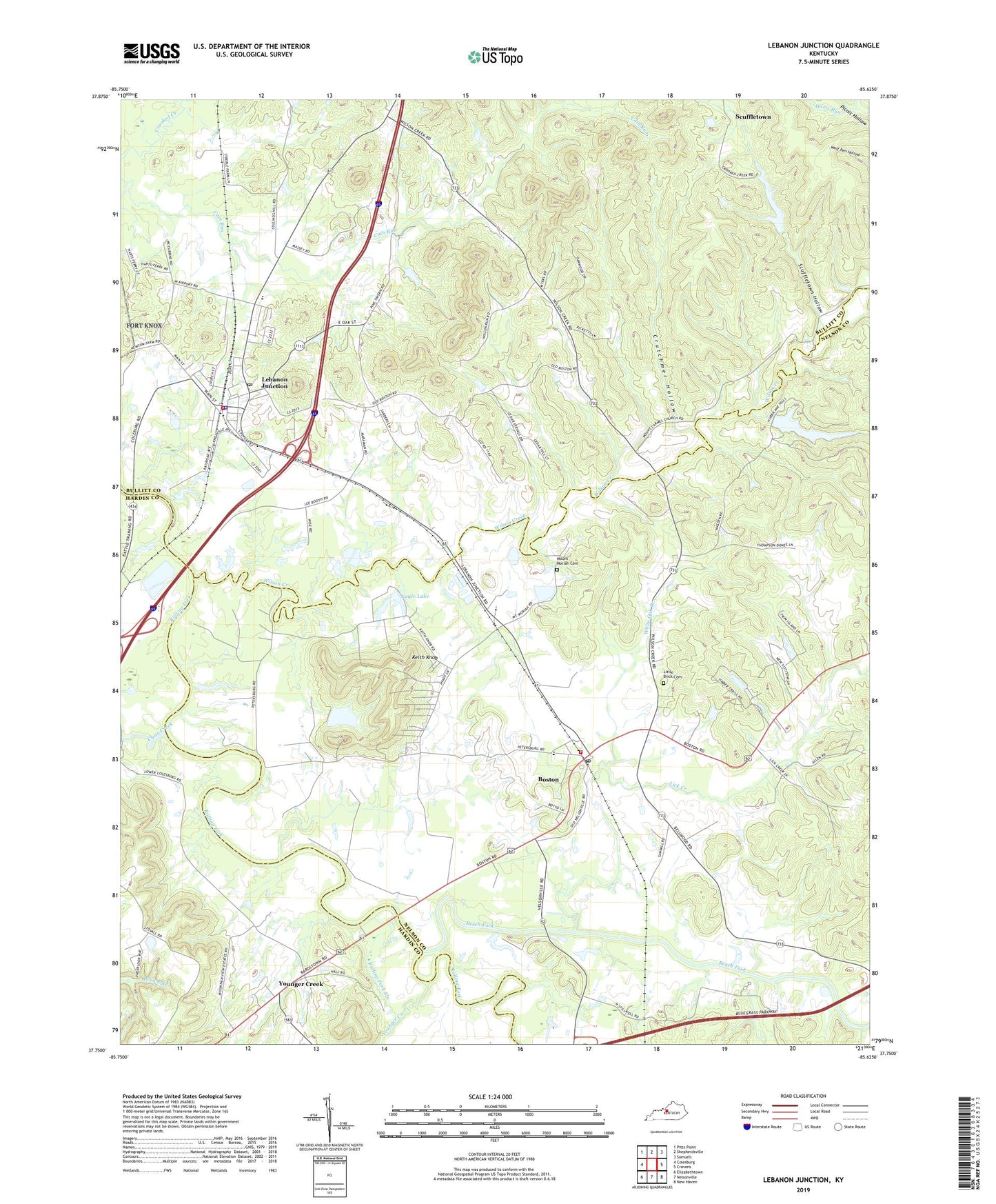
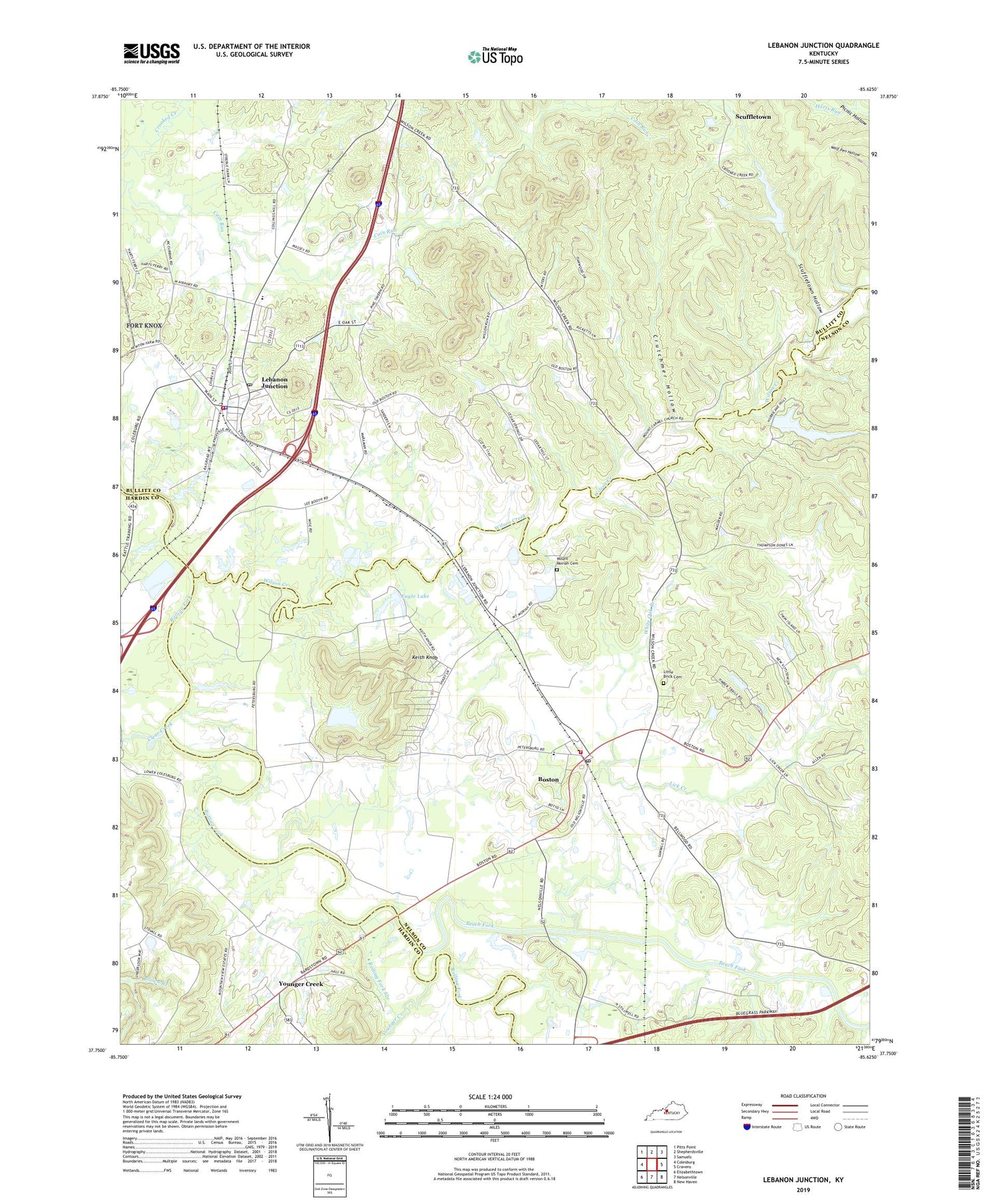
2022 topographic map quadrangle Lebanon Junction in the state of Kentucky. Scale: 1:24000. Based on the newly updated USGS 7.5' US Topo map series, this map is in the following counties: Nelson, Bullitt, Hardin. The map contains contour data, water features, and other items you are used to seeing on USGS maps, but also has updated roads and other features. This is the next generation of topographic maps. Printed on high-quality waterproof paper with UV fade-resistant inks.
Quads adjacent to this one:
West: Colesburg
Northwest: Pitts Point
North: Shepherdsville
Northeast: Samuels
East: Cravens
Southeast: New Haven
South: Nelsonville
Southwest: Elizabethtown
This map covers the same area as the classic USGS quad with code o37085g6.
Contains the following named places: Beech Fork, Boston, Boston Census Designated Place, Boston Post Office, Boston Volunteer Fire Department, Cain Run, City of Lebanon Junction, Clear Creek, Crescendo Camp, Crutchmer Hollow, Eagle Lake, East Fork Harts Run, Hurricane Hills Lake, Keith Knob, Lebanon Junction, Lebanon Junction Fire Department, Lebanon Junction Police Department, Lebanon Junction Post Office, Lick Creek, Little Brick Cemetery, Morgans Second Raid Historical Marker, Mount Carmel Church, Mount Moriah Cemetery, Paradise Lake, Picnic Hollow, Rattlesnake Run, Rolling Fork Slough, Scuffletown, Scuffletown Hollow, Shermans Headquarters Historical Marker, Temple Hill Church, White Oak Branch, Wilson Creek, Younger Creek


