MyTopo
Cuba Kentucky US Topo Map
Couldn't load pickup availability
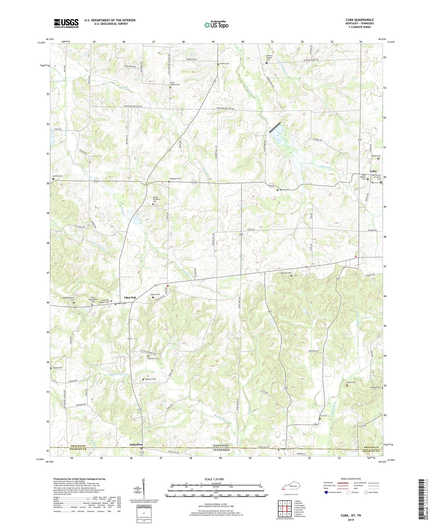
2022 topographic map quadrangle Cuba in the states of Kentucky, Tennessee. Scale: 1:24000. Based on the newly updated USGS 7.5' US Topo map series, this map is in the following counties: Graves, Weakley. The map contains contour data, water features, and other items you are used to seeing on USGS maps, but also has updated roads and other features. This is the next generation of topographic maps. Printed on high-quality waterproof paper with UV fade-resistant inks.
Quads adjacent to this one:
West: Water Valley
Northwest: Dublin
North: Mayfield
Northeast: Farmington
East: Lynnville
Southeast: Palmersville
South: Latham
Southwest: McConnell
Contains the following named places: Adams Cemetery, Barn Creek, Bethel Cemetery, Bethel Church, Bethlehem Church, Bowden Cemetery, Buena Vista, Cuba, Cuba Baptist Cemetery, Cuba Church of Christ Cemetery, Cuba Community Volunteer Fire Department, Cuba Fire Department Station 3 Pilot Oak, Dam Number 2, Dobson Cemetery, Dukedom, Dukedom Post Office, Foy Cemetery, Foys Store, Hainline Cemetery, Knob Creek, Knob Creek Church, Knobs Creek Church, Little Bethel Cemetery, Little Bethel Church, Martin Cemetery, Morris Cemetery, Mount Pleasant Cemetery, Mount Pleasant Church, Neale Cemetery, New Bethlehem Cemetery, Old Bethlehem Cemetery, Osborne Cemetery, Pilot Oak, Pilot Oak Baptist Cemetery, Pinegar Cemetery, Pinson Cemetery, Poyners Chapel, Poyners Chapel Cemetery, Sisson Cemetery, Thompson Cemetery, Wingo-Water Valley Division, ZIP Code: 42088