MyTopo
Lynnville Kentucky US Topo Map
Couldn't load pickup availability
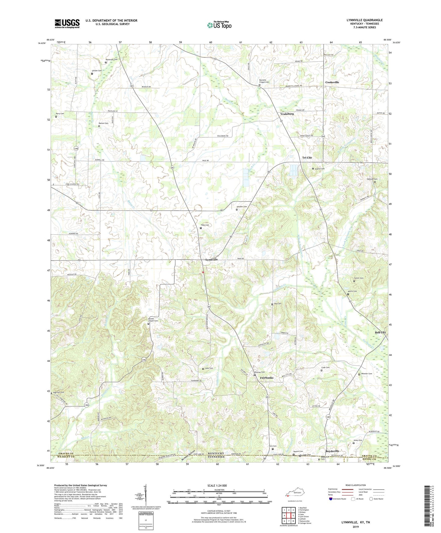
2022 topographic map quadrangle Lynnville in the states of Kentucky, Tennessee. Scale: 1:24000. Based on the newly updated USGS 7.5' US Topo map series, this map is in the following counties: Graves, Weakley, Henry. The map contains contour data, water features, and other items you are used to seeing on USGS maps, but also has updated roads and other features. This is the next generation of topographic maps. Printed on high-quality waterproof paper with UV fade-resistant inks.
Quads adjacent to this one:
West: Cuba
Northwest: Mayfield
North: Farmington
Northeast: Kirksey
East: Lynn Grove
Southeast: Cottage Grove
South: Palmersville
Southwest: Latham
Contains the following named places: Andrus Cemetery, Barton Cemetery, Bell City, Boston Cemetery, Boydsville, Boydsville Cemetery, Burnett Chapel, Burnetts Chapel Cemetery, Caldwell Creek, Carter Cemetery, Cook Cemetery, Cooksville, Cooter Creek, Cuba Elementary School, Cuba Fire Department, Day Cemetery, Doublin Cemetery, East Fork Terrapin Creek, Fairbanks, Gilliam Cemetery, High Hill Cemetery, Jones Cemetery, Kesterson Cemetery, Lynnville, Morris Cemetery, Mud Creek, Oakland Cemetery, Perry Cemetery, Pittman Cemetery, Rhodes Chapel, Rhodes Chapel Cemetery, Seay Cemetery, Sedalia Division, Sims Cemetery, Tibbs Cemetery, Tri City, Vealsburg, West Fork Terrapin Creek, Wheeler Cemetery, ZIP Code: 42079


