MyTopo
Eubank Kentucky US Topo Map
Couldn't load pickup availability
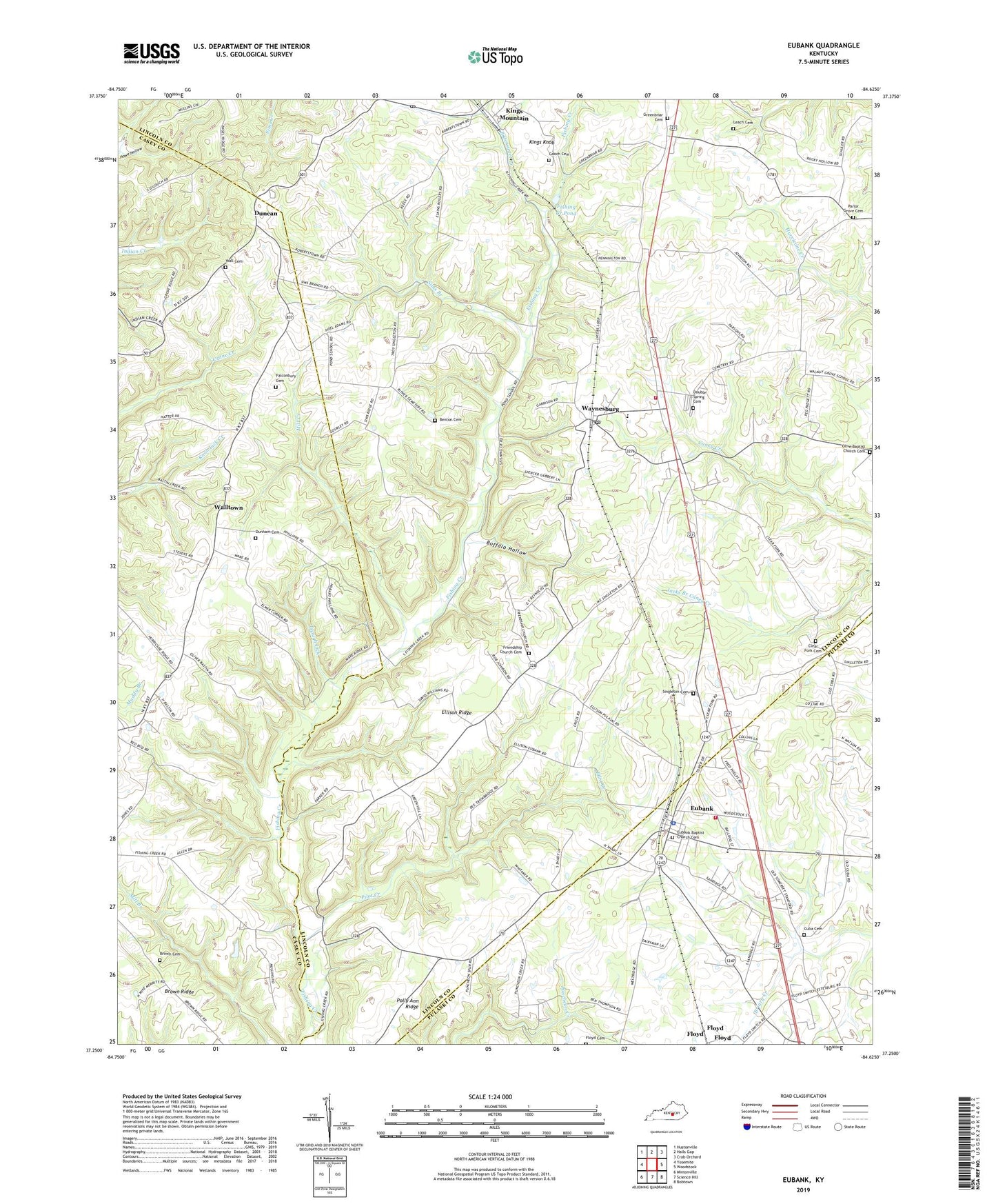
2022 topographic map quadrangle Eubank in the state of Kentucky. Scale: 1:24000. Based on the newly updated USGS 7.5' US Topo map series, this map is in the following counties: Lincoln, Casey, Pulaski. The map contains contour data, water features, and other items you are used to seeing on USGS maps, but also has updated roads and other features. This is the next generation of topographic maps. Printed on high-quality waterproof paper with UV fade-resistant inks.
Quads adjacent to this one:
West: Yosemite
Northwest: Hustonville
North: Halls Gap
Northeast: Crab Orchard
East: Woodstock
Southeast: Bobtown
South: Science Hill
Southwest: Mintonville
This map covers the same area as the classic USGS quad with code o37084c6.
Contains the following named places: Benton Cemetery, Bittersweet Creek, Brown Cemetery, Brown Ridge, Brown School, Buffalo Hollow, City of Eubank, Clear Fork Cemetery, Cuba Cemetery, Diamond, Double Spring Cemetery, Double Springs Baptist Church, Douglas Post Office, Duncan, Duncan School, Dunham Cemetery, Ellison Ridge, Eubank, Eubank Baptist Church Cemetery, Eubank Elementary School, Eubank Fire Department, Eubank Police Department, Eubank Post Office, Falconbury Cemetery, Fishing Creek Pond, Floyd, Floyd Cemetery, Friendship Church, Friendship Church Cemetery, Gooch Cemetery, Greenbriar, Greenbriar Cemetery, Greenbriar Church, Kings Knob, Kings Mountain, Kings Mountain Elementary School, Kings Mountain Post Office, Kings Mountain Railroad Station, Knob Lick, Leach Cemetery, Lincoln County Fire Department Station 5, Locust Grove Church, Mill Creek, Olive Baptist Church Cemetery, Parlor Grove Cemetery, Parlor Grove Church, Phillips Chapel, Pilot Church, Pilot Creek, Pleasant View Church, Pleasant View School, Polly Ann Church, Polly Ann Ridge, Pond, Pond School, Powell Church, Sims Branch, Singleton Cemetery, Staffordsville, Trough Lick, Wall Cemetery, Walltown, Walltown Christian Church, Walnut Grove, Waynesburg, Waynesburg Census Designated Place, Waynesburg Post Office, Waynesburg Railroad Station, ZIP Code: 40489


