MyTopo
Frankfort West Kentucky US Topo Map
Couldn't load pickup availability
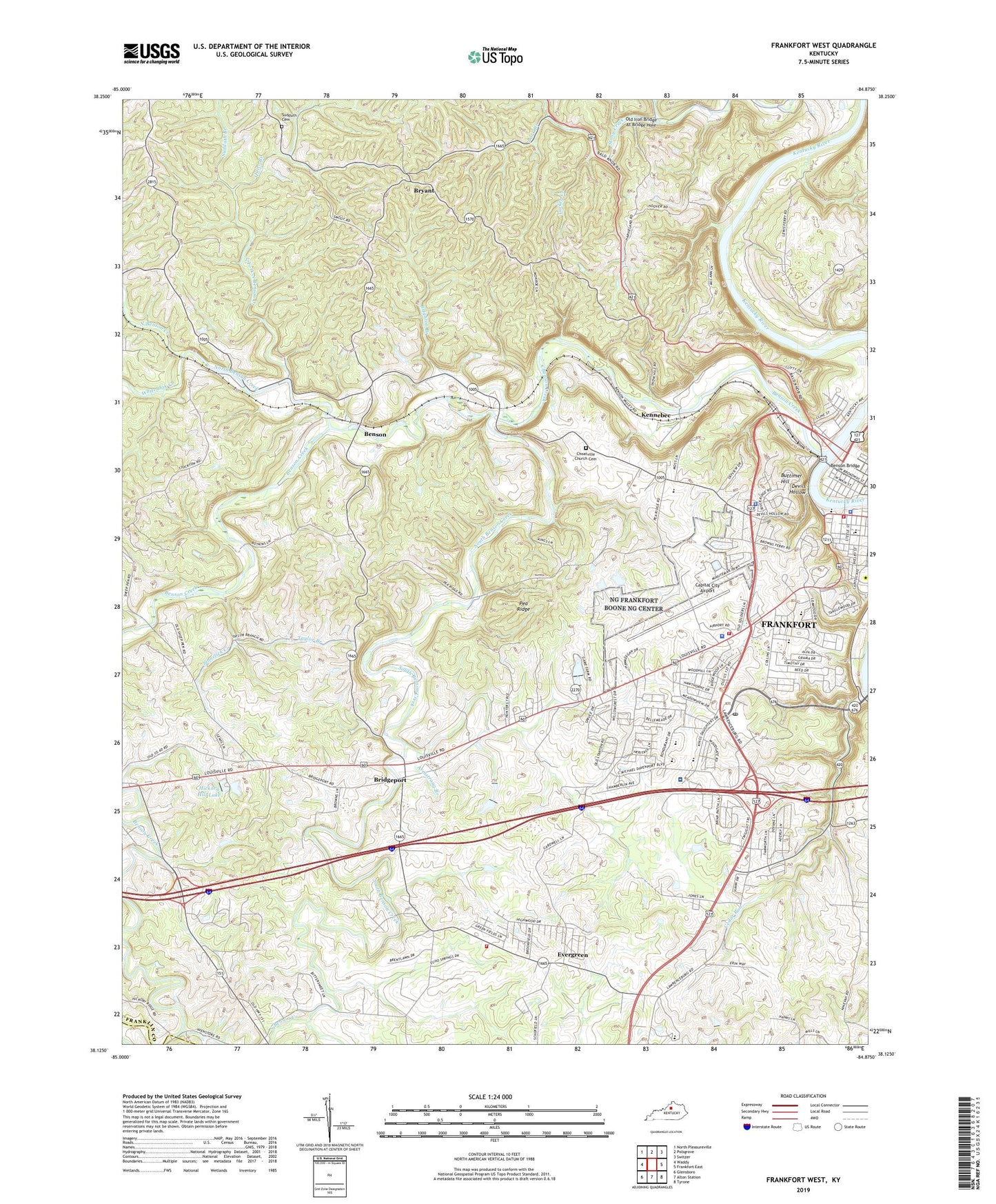
2022 topographic map quadrangle Frankfort West in the state of Kentucky. Scale: 1:24000. Based on the newly updated USGS 7.5' US Topo map series, this map is in the following counties: Franklin, Anderson, Shelby. The map contains contour data, water features, and other items you are used to seeing on USGS maps, but also has updated roads and other features. This is the next generation of topographic maps. Printed on high-quality waterproof paper with UV fade-resistant inks.
Quads adjacent to this one:
West: Waddy
Northwest: North Pleasureville
North: Polsgrove
Northeast: Switzer
East: Frankfort East
Southeast: Tyrone
South: Alton Station
Southwest: Glensboro
This map covers the same area as the classic USGS quad with code o38084b8.
Contains the following named places: Amos Kendall Historical Marker, Antioch Church, Armstrong Branch, Bark Branch, Barrel Branch, Benson, Benson Bridge, Benson Creek, Benson Flag Station, Benson Post Office, Benson School, Bibb Burnley House Historical Marker, Bondurant Middle School, Boone National Guard Heliport, Bridgeport, Bridgeport High School, Bridgeport Post Office, Brighton Branch, Broadville Manor, Bryant, Bryant School, Buttimer Hill, Capital City Airport, Cave Spring, Cedar Run, Celebrity Homes Historical Marker, Choateville, Choateville Census Designated Place, Choateville Church, Choateville Church Cemetery, Choatville School, Chrutcher School, Civil War Reprisal Historical Marker, Colemans Spring, Collins Lane Elementary School, Conways Mill, Davis Branch, Devils Hollow, Dripping Spring, Elkhorn Elementary School, Elmoro Post Office, Evergreen, Evergreen Census Designated Place, Evergreen School, Ezra Brooks Distillery, Fairview School, Farmdale School, Favorite Spring, First Methodist Church Historical Marker, First Presbyterian Church Historical Marker, Fishtrap Island, Fox Gap, Fox Gap School, Frankfort City Fire Department Station 3, Frankfort Fire and EMS Station 1, Frankfort Police Department, Frankfort Regional Medical Center, Franklin County, Franklin County Fire Department Station 9, Franklin County Poor House, Franklin Square Shopping Center, Franks Ford, Garrard-Crittenden House Historical Marker, Glore, Glore School, Good Shepherd Church Historical Marker, Harvieland School, Hawkeegan Park, Hickory Hill Lake, High Point Farm Airport, Hillcrest Church, Honeysuckle, Honeysuckle Post Office, John Brown House-Liberty Hall Historical Marker, John J Crittenden House Historical Marker, Juniper Hill Municipal Park, Justice Todd House Historical Marker, Kennebec, Kennebec Railroad Station, Kennebec Spring, Kentucky National Guard Armory, Kentucky National Guard Shop, Kentucky State Capitol, Kentucky State Police Department - Post 12, Maklin House Historical Marker, Military Institute Post Office, Mount Zion, Mount Zion Church, North Benson Church, North Benson Creek, North Fork North Benson Creek, Old Iron Bridge At Bridge Hole, Old State Capitol, Pea Ridge, Quire Branch, Roberts, Roberts Church, Roberts School, Saint Johns Church, Saint Johns Spring, Saint Pauls Church, Scanland Springs Resort, School Number Thirty-five, School Number Thirty-four, Shady Grove, Site of the Love House Historical Marker, South Benson Baptist Church, South Benson Creek, State Game Farm, Stonelick Creek, Sudduth Branch, Sudduth Cemetery, Taylor Branch, Tioga Post Office, Tucker Creek, Vest-Lindsey House Historical Marker, W A Wentworth Historical Marker, Westside Post Office, WFKY-AM (Frankfort), Whippoorwill Golf Course, White Oak Creek, WKED-AM (Frankfort), WKED-FM (Frankfort), WKYW-FM (Frankfort)


