MyTopo
Hadley Kentucky US Topo Map
Couldn't load pickup availability
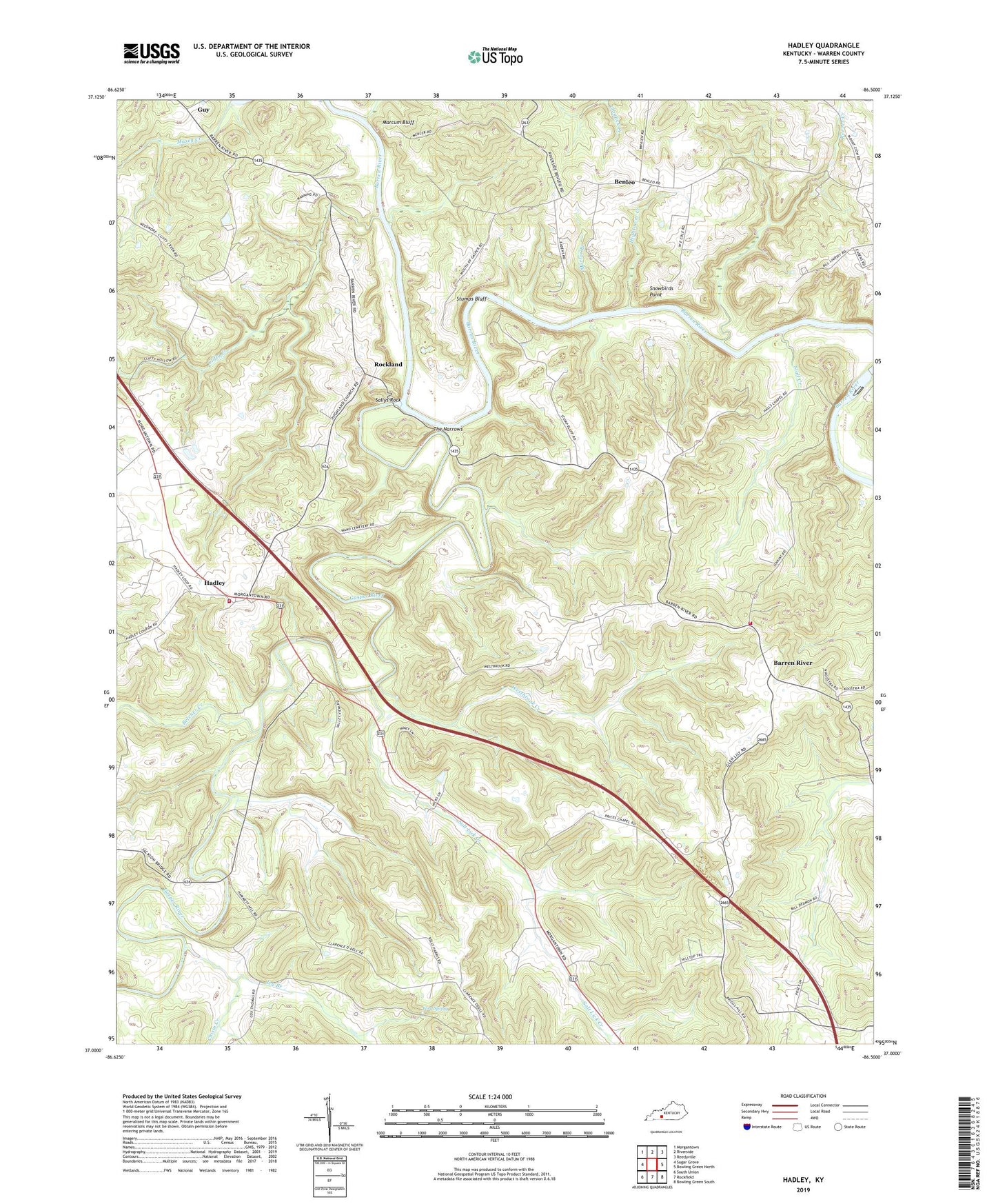
2022 topographic map quadrangle Hadley in the state of Kentucky. Scale: 1:24000. Based on the newly updated USGS 7.5' US Topo map series, this map is in the following counties: Warren. The map contains contour data, water features, and other items you are used to seeing on USGS maps, but also has updated roads and other features. This is the next generation of topographic maps. Printed on high-quality waterproof paper with UV fade-resistant inks.
Quads adjacent to this one:
West: Sugar Grove
Northwest: Morgantown
North: Riverside
Northeast: Reedyville
East: Bowling Green North
Southeast: Bowling Green South
South: Rockfield
Southwest: South Union
This map covers the same area as the classic USGS quad with code o37086a5.
Contains the following named places: Barren River, Barren River Volunteer Fire Department, Belcher Creek, Benleo, Chism Creek, Clifty Creek, Ford Spring, Gasper River, Glen Lily Baptist Church, Guy, Hadley, Hadley Volunteer Fire Department, Hadley-Browning Division, Hall Chapel, Highland Baptist Church, Hightower Creek, Hillview Church, Ivy Branch, Lewis Chapel, Lock Number 1, Mortar Branch, Mount Lebanon Church, Prices Chapel, Reeves Creek, Rockland, Rolling Spring Church, Sallys Rock, Salt Lick Creek, Snowbirds Point, Stall Creek, Stumps Bluff, The Narrows, WCBZ-FM (Bowling Green), WCVK-FM (Bowling Green), Westbrook Creek


