MyTopo
Sugar Grove Kentucky US Topo Map
Couldn't load pickup availability
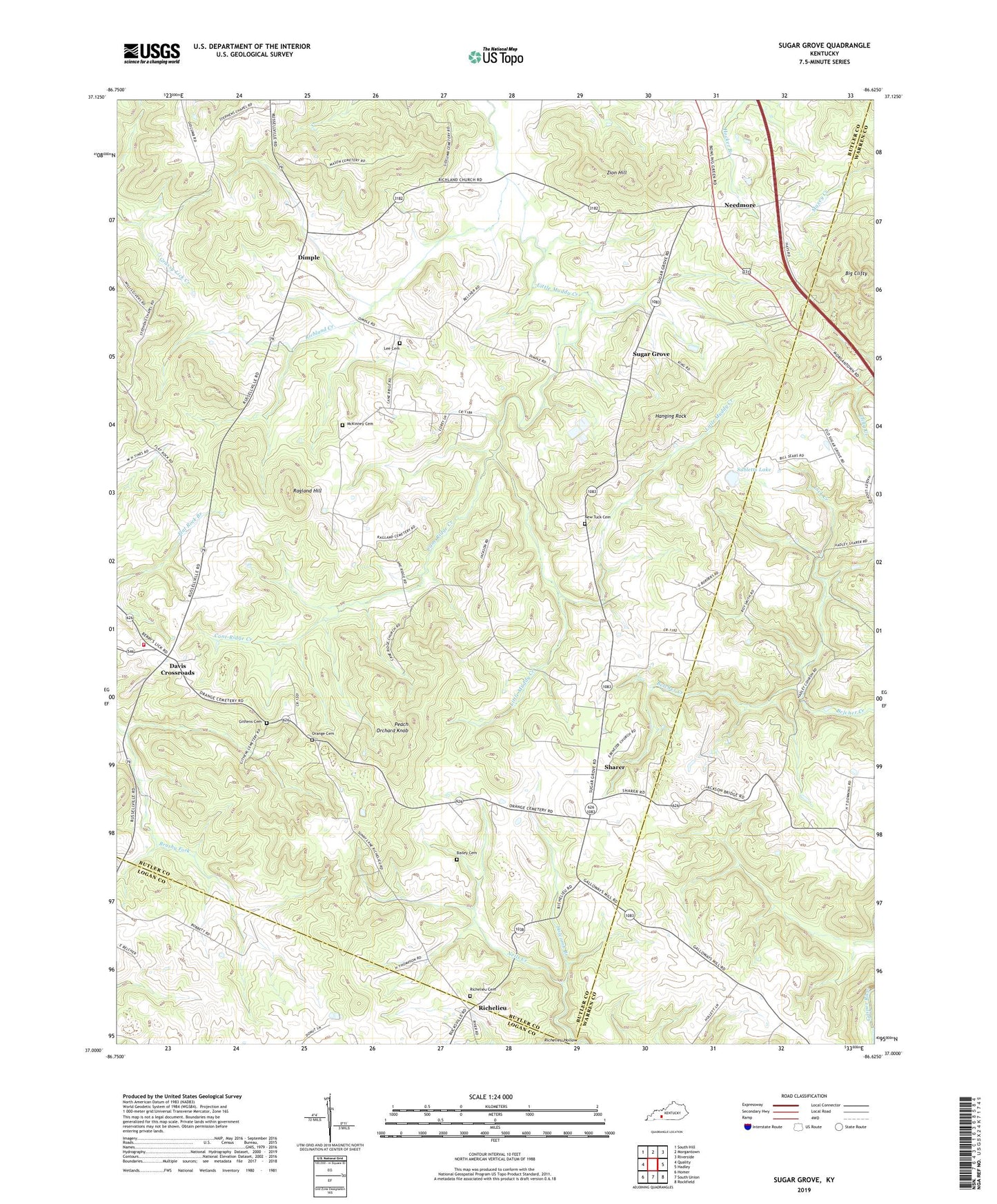
2022 topographic map quadrangle Sugar Grove in the state of Kentucky. Scale: 1:24000. Based on the newly updated USGS 7.5' US Topo map series, this map is in the following counties: Butler, Warren, Logan. The map contains contour data, water features, and other items you are used to seeing on USGS maps, but also has updated roads and other features. This is the next generation of topographic maps. Printed on high-quality waterproof paper with UV fade-resistant inks.
Quads adjacent to this one:
West: Quality
Northwest: South Hill
North: Morgantown
Northeast: Riverside
East: Hadley
Southeast: Rockfield
South: South Union
Southwest: Homer
This map covers the same area as the classic USGS quad with code o37086a6.
Contains the following named places: Bailey Cemetery, Big Clifty, Cane Ridge Creek, Cave Hill, Davis Crossroads, Dimple, Ebenezer Church, Flat Rock, Githens Cemetery, Hanging Rock, Holcomb Branch, Lee Cemetery, Lick Creek, Little Muddy Creek, Mars Hill Church, Mc Kinney Cemetery, Needmore, Neils Creek, New Gasper Church, New Tuck Cemetery, Orange Cemetery, Peach Orchard Knob, Ragland Hill, Richelieu, Richelieu Cemetery, Richland Church, Richland Creek, Second District Fire Department, Sharer, Shiloh Church, Subletts Lake, Sugar Grove, Sugar Grove Division, WKGB-TV (Bowling Green), WKYU-FM (Bowling Green), Zion Hill


