MyTopo
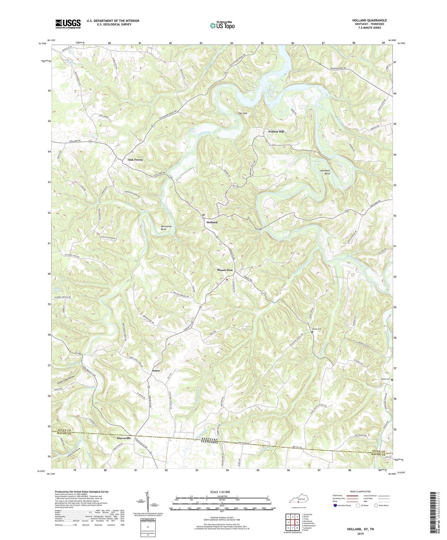
Holland Kentucky US Topo Map
Couldn't load pickup availability
2022 topographic map quadrangle Holland in the states of Kentucky, Tennessee. Scale: 1:24000. Based on the newly updated USGS 7.5' US Topo map series, this map is in the following counties: Allen, Macon. The map contains contour data, water features, and other items you are used to seeing on USGS maps, but also has updated roads and other features. This is the next generation of topographic maps. Printed on high-quality waterproof paper with UV fade-resistant inks.
Quads adjacent to this one:
West: Petroleum
Northwest: Scottsville
North: Austin
Northeast: Tracy
East: Fountain Run
Southeast: Galen
South: Lafayette
Southwest: Westmoreland
Contains the following named places: Amos, Bandy Cemetery, Benedict Branch, Calvert Spring, Doddy Branch, Dry Creek, East Allen Fire Department, Emma Cook Hollow, Figure Eight Branch, Hanging Rock Branch, Hanging Rock Hollow, Hayesville, Highland Church, Hilburn Spring, Holland, Holland Division, Holland Post Office, Horseshoe Bend, Jewsharp Bend, Liberty Church, Long Creek, Long Hungry Creek, Maysville Church, Mount Gilead Church, Mount Zion, Mount Zion School, New Salem Church, Oak Forest, Pinchgut Creek, Red Hill Church, Roark Cemetery, The Sink, Turkeyfoot Creek, Walnut Hill, ZIP Code: 42153


