MyTopo
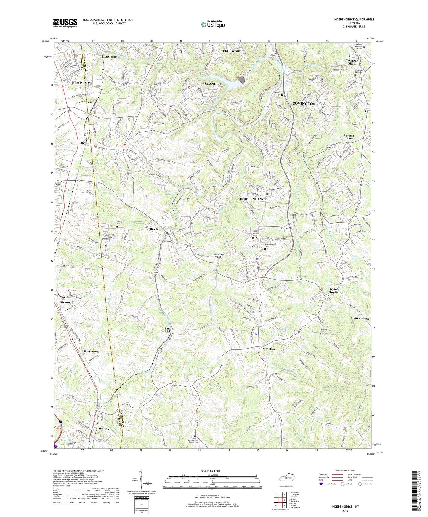
Independence Kentucky US Topo Map
Couldn't load pickup availability
2022 topographic map quadrangle Independence in the state of Kentucky. Scale: 1:24000. Based on the newly updated USGS 7.5' US Topo map series, this map is in the following counties: Kenton, Boone. The map contains contour data, water features, and other items you are used to seeing on USGS maps, but also has updated roads and other features. This is the next generation of topographic maps. Printed on high-quality waterproof paper with UV fade-resistant inks.
Quads adjacent to this one:
West: Union
Northwest: Burlington
North: Covington
Northeast: Newport
East: Alexandria
Southeast: De Mossville
South: Walton
Southwest: Verona
This map covers the same area as the classic USGS quad with code o38084h5.
Contains the following named places: Amity Church, Bank Lick, Bank Lick Post Office, Bank Lick Railroad Station, Banklick Church, Banklick Woods Park, Beechgrove Baptist Church, Beechgrove Elementary School, Berean Baptist Church, Brucewood Church, Brushy Fork, Buffington Post Office, Buffington Railroad Station, Bullock Pen Creek, Bushs Crossroads, Caintuckee Airport, Calvary Christian Church, Calvary Christian School, City of Elsmere, City of Independence, Covered Bridge Park, Covington Fire Department Company 5, Cruises Creek Baptist Church Cemetery, Dam Number 3, Devon, Devon Post Office, Dixon Railroad Station, Doe Run Creek, Doe Run Lake Park, Eggleston Church, Enterprise V Industrial Park, Erlanger Fire Department Station 3, First Baptist Church, Floral Hills Memorial Gardens, Florence Community Church, Florence Fire / EMS Department Station 2, Fowler Creek, Freewill Church, Grace Baptist Church, Grubb Post Office, Hickory Grove Baptist Church, Hoffman Cemetery, Independence, Independence Cemetery, Independence Christian Church, Independence Division, Independence Fire District Station 1, Independence Fire District Station 2, Independence Fire District Station 3, Independence Police Department, Independence Post Office, Independence Station, Kensington, Kenton County, Kenton County Fairgrounds, Kenton County Golf Course, Kenton County Police Department, Kenton County Public Park, Kenton Elementary School, Kingdom Hall Church, New Banklick Church, New Lancaster Post Office, Nicholson, Nicholson Church of Christ, Nicholson Post Office, Northern Kentucky Industrial Park, Oak Ridge, Oak Ridge Church, R A Jones Middle School, Rector Cemetery, Rice Creek, Ricedale, Richwood, Richwood Railroad Station, Ridgeview Heights, Roadside Chapel, Saint Barbara Church, Saint Cecilia Church, Saint Cecilia School, Saint Cecilias Cemetery, Scott High School, Scott Post Office, Simon Kenton High School, Staffordsburg, Staffordsburg Post Office, Staffordsburg United Methodist Church, Tabernacle of Faith Church, Taylor Mill Elementary School, Thompson Branch, Tower Post Office, Twenhofel Middle School, Walton, Walton Fire Protection District Station 2, Wayman Branch, Wayman Cemetery, White Tower, Whites Tower Elementary School, Wolf Pen Branch, Woodsdale Cemetery, ZIP Codes: 41051, 41094


