MyTopo
Lola Kentucky US Topo Map
Couldn't load pickup availability
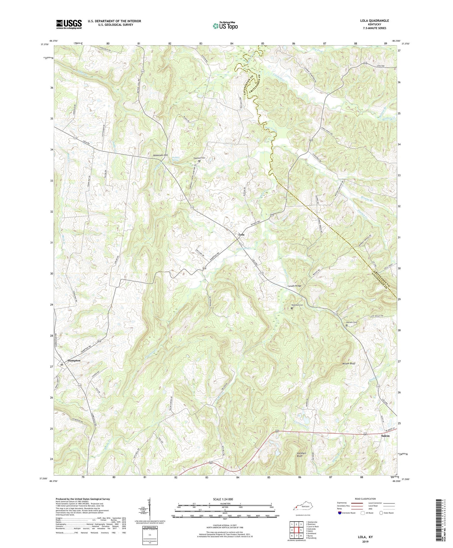
2022 topographic map quadrangle Lola in the state of Kentucky. Scale: 1:24000. Based on the newly updated USGS 7.5' US Topo map series, this map is in the following counties: Livingston, Crittenden. The map contains contour data, water features, and other items you are used to seeing on USGS maps, but also has updated roads and other features. This is the next generation of topographic maps. Printed on high-quality waterproof paper with UV fade-resistant inks.
Quads adjacent to this one:
West: Golconda
Northwest: Shetlerville
North: Rosiclare
Northeast: Cave-in-Rock
East: Salem
Southeast: Dycusburg
South: Burna
Southwest: Smithland
This map covers the same area as the classic USGS quad with code o37088c3.
Contains the following named places: Barnett Cemetery, Belmar Branch, Ben Belt Mines, Bethel Church, Blooming Rose, Blooming Rose School, Bonanza Mines, Browns Branch, Canada Bridge, Coefield Creek, Flatlick Creek, Foreman Creek, Hampton, Hampton Census Designated Place, Hampton Post Office, Hopewell Cemetery, Hopewell Church, Jammison Hill, John Belt Mines, Little Brown Church, Livingston Creek, Lola, Lola School, Matterds Prospects, May Mines, Mitchel Mine, New Union Church, Oak Grove School, Old Salem Church, Robinson Cemetery Number 2, Salem Division, Threlkeld School, Turkey Creek, Wallace Spring, Wilson Bluff, Wright Mines, ZIP Code: 42078


