MyTopo
Monterey Kentucky US Topo Map
Couldn't load pickup availability
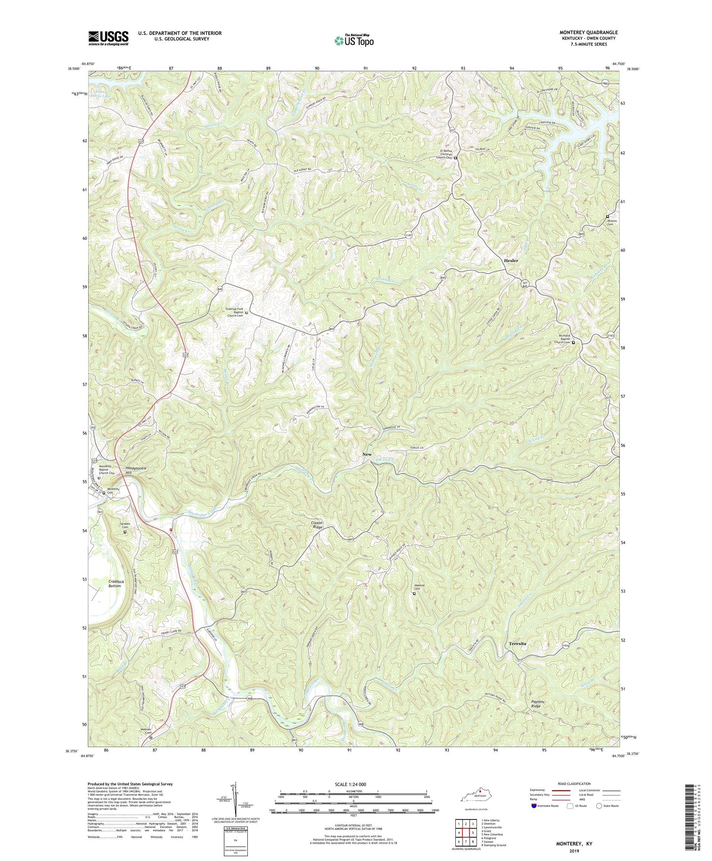
2022 topographic map quadrangle Monterey in the state of Kentucky. Scale: 1:24000. Based on the newly updated USGS 7.5' US Topo map series, this map is in the following counties: Owen. The map contains contour data, water features, and other items you are used to seeing on USGS maps, but also has updated roads and other features. This is the next generation of topographic maps. Printed on high-quality waterproof paper with UV fade-resistant inks.
Quads adjacent to this one:
West: Gratz
Northwest: New Liberty
North: Owenton
Northeast: Lawrenceville
East: New Columbus
Southeast: Stamping Ground
South: Switzer
Southwest: Polsgrove
This map covers the same area as the classic USGS quad with code o38084d7.
Contains the following named places: Assembly of God, Bowen Branch, Cedar Hill, Cedar Hill Church, Cedar Hill School, City of Monterey, Claxon Ridge, Claxton School, East Eagle Post Office, El Bethel Christian Church, El Bethel Christian Church Cemetery, Elk Lick Church, Elk Lick Creek, Ep Post Office, Greenup Creek, Greenup Fork, Greenup Fork Baptist Church Cemetery, Greenup Fork Church, Greenup Fork Post Office, Greenup School, Haydons Post Office, Haydons Stand, Hesler, Hesler Post Office, Honeysuckle Hill, Indian Creek, Kays Branch, McDowell Branch, Monterey, Monterey Baptist Church, Monterey Baptist Church Cemetery, Monterey Cemetery, Monterey Post Office, Monterey School, Monterey Volunteer Fire Department, Monterey-New Columbus Division, Morgadore Creek, New, Old Cedar Church, Paytons Ridge, Perkins Cemetery, Plummer Branch, Richland Baptist Church, Richland Baptist Church Cemetery, Sanders Cemetery, Sawdridge Creek, School Number Eighty-One, School Number Ninety-Eight, Slippery Rock Creek, Teresita, Teresita Post Office, Walnut Grove Methodist Church, Webster Cemetery, Wiley Branch, ZIP Code: 40359