MyTopo
Morehead Kentucky US Topo Map
Couldn't load pickup availability
Also explore the Morehead Forest Service Topo of this same quad for updated USFS data
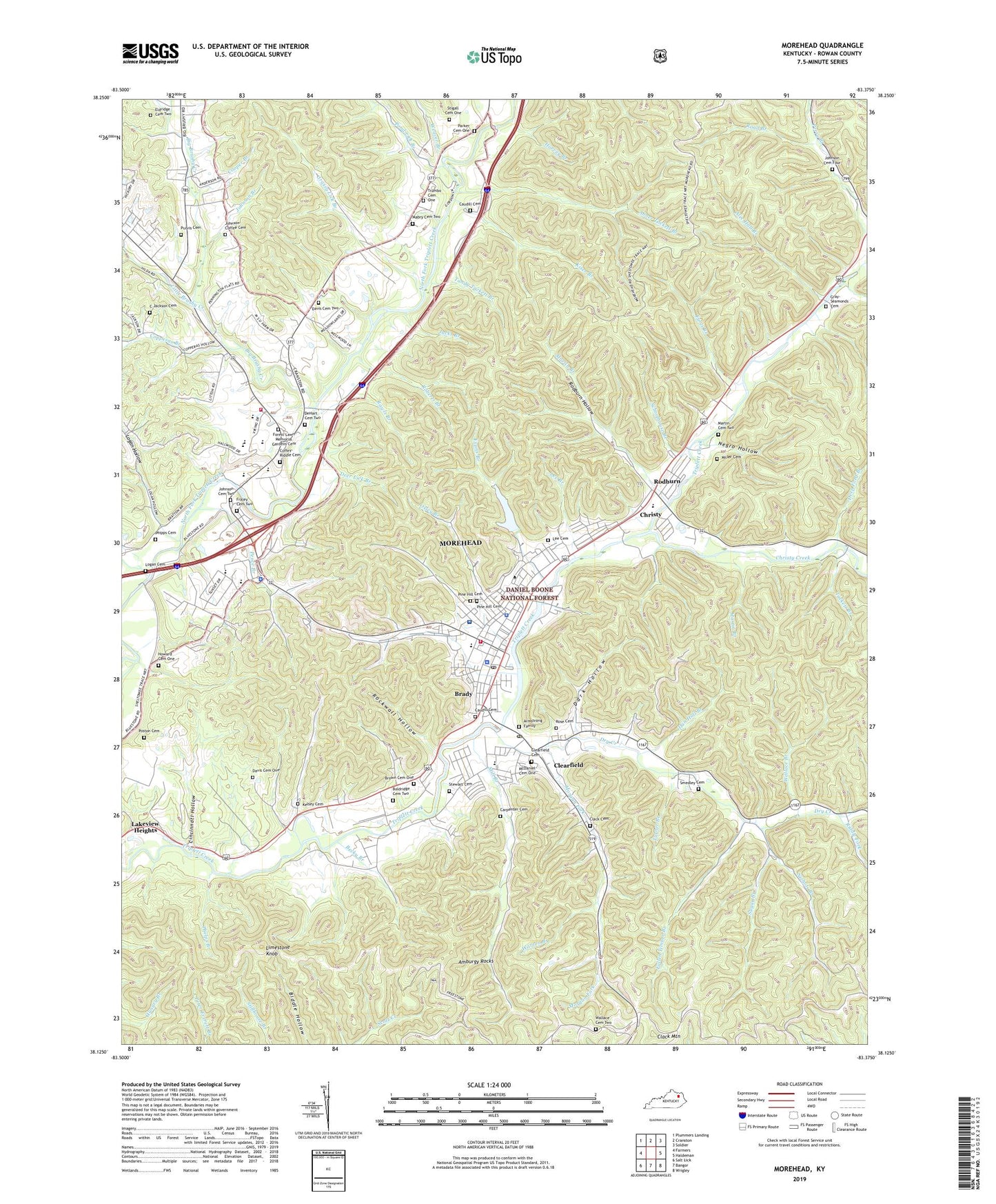
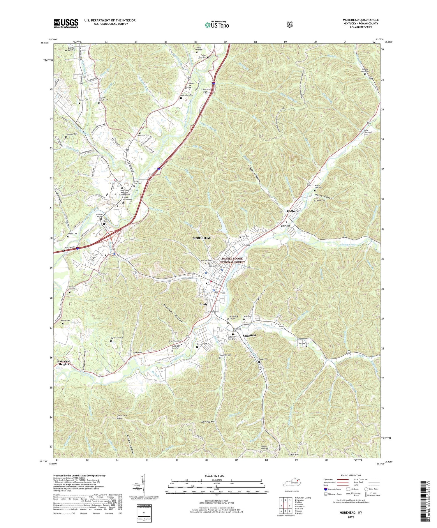
2022 topographic map quadrangle Morehead in the state of Kentucky. Scale: 1:24000. Based on the newly updated USGS 7.5' US Topo map series, this map is in the following counties: Rowan. The map contains contour data, water features, and other items you are used to seeing on USGS maps, but also has updated roads and other features. This is the next generation of topographic maps. Printed on high-quality waterproof paper with UV fade-resistant inks.
Quads adjacent to this one:
West: Farmers
Northwest: Plummers Landing
North: Cranston
Northeast: Soldier
East: Haldeman
Southeast: Wrigley
South: Bangor
Southwest: Salt Lick
This map covers the same area as the classic USGS quad with code o38083b4.
Contains the following named places: Abner Tackett Branch, Academic-Athletic Center, Admissions Center, Adron Doran University Center, Alec Hall Branch, Allen Field, Allie Young Hall, Allie Young Law Office Historical Marker, Alumni Center, Alumni Tower, Amburgy Rocks, Armstrong Family, Astrophysical Laboratory, Baird Music Hall, Baldridge Cemetery Two, Baptist Student Union, Becky Branch, Big Brushy Creek, Big Limestone Trail, Brady, Bratton Branch, Breckinridge Hall, Brown Cemetery One, Butler Hall, Button Auditorium, C Jackson Cemetery, Camden-Carroll Library, Campus Greenhouse, Carl D Perkins Center, Carpenter Cemetery, Cartmell Hall, Caudill Cemetery, Chi Alpha Fellowship, Christy, Christy Creek, Cincinnati Hollow, City of Morehead, Civil War Courthouse Burnings Historical Marker, Clack Cemetery, Clack Mountain, Claypool-Young Art Building, Clearfield, Clearfield Cemetery, Clearfield Census Designated Place, Clearfield Post Office, Coffey - Riddle Cemetery, Combs Building, Cooper Branch, Cooper Hall, Copperas Branch, Cora Wilson Stewart Moonlight School, Dan Hall Branch, Dark Hollow, Davis Cemetery One, Davis Cemetery Two, Deep Ford Branch, Deer Lick Branch, DeHart Cemetery Two, Downing Hall, Dry Creek, Eagle Lake Apartments, Earls Branch, East Mignon Hall, Eldridge Cemetery Two, Evans Branch, Fallen Timber Branch, Fields Hall, Forest Lawn Memorial Gardens Cemetery, Fraley Cemetery Two, Gilley Apartments, Ginger Hall, Grassy Lick Branch, Gray-Seamonds Cemetery, Harvey Branch, Honors House, Howard Cemetery One, Howell-McDowell Administration Building, Jacks Branch, Jane Branch, Jayne Stadium, Johnson Branch, Johnson Cemetery Four, Johnson Cemetery Two, Johnson Church, Johnson-Coffee Cemetery, Kelsey Cemetery, Kentucky Center for Traditional Music, Kentucky Division of Forestry Northeastern District, Kentucky Folk Art Center, Kentucky State Police Post 8, Kiser Branch, Lambert Branch, Lappin Hall, Laughlin Health Building, Lee Branch, Lee Cemetery, Limestone Knob, Little Bell Tower, Little Brushy Creek, Lloyd Cassity Building, Logan Cemetery, Logan Hollow, Mabry Cemetery Two, Martin Branch, Martin Cemetery Two, Mays Hall, McDaniel Cemetery One, Methodist Student Center, Middle Prong Big Brushy Creek, Mignon Hall, Mignon Tower, Mill Branch, Miller Cemetery, Moonlight Schools Historical Marker, Morehead, Morehead - Rowan County Emergency Medical Services, Morehead Division, Morehead Fire Department Station 1, Morehead Fire Department Station 2, Morehead Police Department, Morehead Post Office, Morehead Ranger District Office, Morehead State University, Morehead State University Farm, Morgan Fork, Multicultural Student Services, National Register Historic District Morehead State University Historical Marker, Negro Hollow, Newman Center, Nichols Branch, Normal Hall, Nunn Hall, Oxley Branch, Palmer Development House, Parker Cemetery One, Pence Branch, Phelps Branch, Phipps Cemetery, Pine Crest Childrens Home, Pine Hill Cemetery, Pond Lick Branch, Poston Cemetery, President's House - Morehead State University, Purvis Cemetery, Rader Hall, Rawls Branch, Reed Hall, Regents Hall, Rice Service Building, Riddle Fork, Road Branch, Roberts Branch, Rockwall Hollow, Rodburn, Rodburn Hollow, Rodburn Hollow Campsite, Rose Cemetery, Rowan County, Rowan County High School, Rowan County Historical Marker, Rowan County Sheriff's Office, Rowan County War Historical Marker, Sadler Tennis Courts, Saint Claire Regional Medical Center, Schoolhouse Branch, Senff Natatorium, Slabcamp Branch, Smedley Cemetery, Stewart Cemetery, Stigall Cemetery One, Sugar Branch, Tackett Branch, Tandy Tackett Branch, Thompson Hall, Trace Railroad Station, Triangle Lookout Tower, Trumbo Cemetery One, Turner Branch, United States Forest Service Administration Site, University Softball Field, Wallace Branch, Wallace Cemetery Two, Warren Branch, Water Testing Laboratory, Waterfield Hall, Weaver Branch, Wellness Center, West Mignon Hall, Wetherby Gym, Wilson Hall, WKMR-TV (Morehead), WKMR-TV Tower, WMKY-FM (Morehead), WMOR Radio Tower, WMOR-AM (Morehead), WMOR-FM (Morehead), ZIP Codes: 40313, 40351


