MyTopo
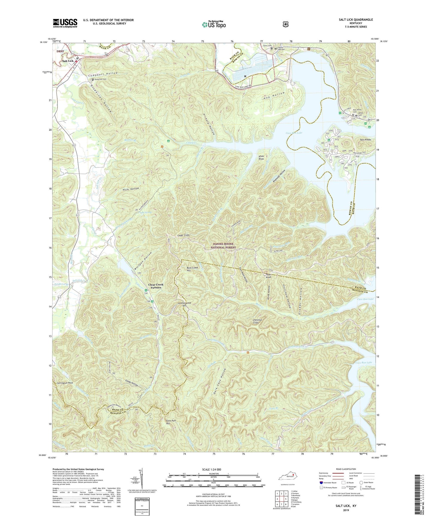
Salt Lick Kentucky US Topo Map
Couldn't load pickup availability
Also explore the Salt Lick Forest Service Topo of this same quad for updated USFS data
2022 topographic map quadrangle Salt Lick in the state of Kentucky. Scale: 1:24000. Based on the newly updated USGS 7.5' US Topo map series, this map is in the following counties: Bath, Menifee, Rowan. The map contains contour data, water features, and other items you are used to seeing on USGS maps, but also has updated roads and other features. This is the next generation of topographic maps. Printed on high-quality waterproof paper with UV fade-resistant inks.
Quads adjacent to this one:
West: Olympia
Northwest: Colfax
North: Farmers
Northeast: Morehead
East: Bangor
Southeast: Ezel
South: Scranton
Southwest: Frenchburg
This map covers the same area as the classic USGS quad with code o38083a5.
Contains the following named places: Alfrey Cemetery, Alum Knob, Big Cave Run, Billy Branch, Billy Branch Picnic Area, Boardinghouse Branch, Boat Gunnel Branch Picnic Area, Buck Branch Trail, Buck Creek Hill, Buck Creek Trail, Buckskin Trail, Campbell Hollow, Caney Creek, Cape Branch, Carey Branch, Carey Cemetery, Carrington Rock Trail, Cassity Cemetery One, Cave Run Post Office, Cave Run Trail, Cedar Cliffs, Cedar Cliffs Trail, Chestnut Cliffs, City of Salt Lick, Clark State Fish Hatchery, Clear Creek, Clear Creek Furnace, Clear Creek Furnace Picnic Area, Clear Creek Lake, Costigan Post Office, Cross Over Trail, Daniel Boone National Forest Cumberland Ranger District Morehead Office, Dark Cave Hollow, Dickerson Cemetery, Dickerson Hollow, Fern Bluff Parking Area, Fletchum Hollow, Gate Post Hill, Glady Branch, Glady Hollow, Graveyard Branch, Green Branch, Grubbs Hollow, Hickory Hollow, Hicks Hollow, High Bank Picnic Area, Hog Hollow, Hog Pen Trail, Joes Branch, Knob Hollow, Leatherwood, Leatherwood Boat Ramp, Leatherwood Creek, Leatherwood Hill, Leatherwood School, Lewis Chapel, Licking Post Office, Little Cave Run, Lower Salt Lick, Lower Salt Lick School, Martin Cemetery One, Martins Branch, McDale Branch, McIntosh Branch, Merry Branch, Murder Branch, New Alfrey Cemetery, Old Caney Iron Furnance, Pendleton Branch, Pergram Branch, Peter Cave Run, Pioneer Weapons Hunting Area, Ragland Railroad Station, Reynolds Hollow, Salt Lick, Salt Lick Creek, Salt Lick Division, Salt Lick Fire Department, Salt Lick Post Office, Salt Lick Railroad Station, Scott Creek, Scott Creek Boat Ramp, Scott Creek Marina, Scott Creek Recreation Site, Shallow Flats Wildlife Trail, Sheltowee Trace, Skidmore Creek, Stone Quarry Branch, Sulphur Branch, Tailwater Picnic Area and Boat Launch, Tater Knob, Tram Road Hollow, Trough Lick Branch, Twin Knobs, Twin Knobs Recreation Site, Upper Salt Lick Christian Church, White Sulpher, White Sulpher School, White Sulphur Branch, Wickliffe Forge Post Office, Wolfpen Hollow, Yale Post Office, Young Post Office, Young Springs, Young Springs Post Office, ZIP Code: 40371


