MyTopo
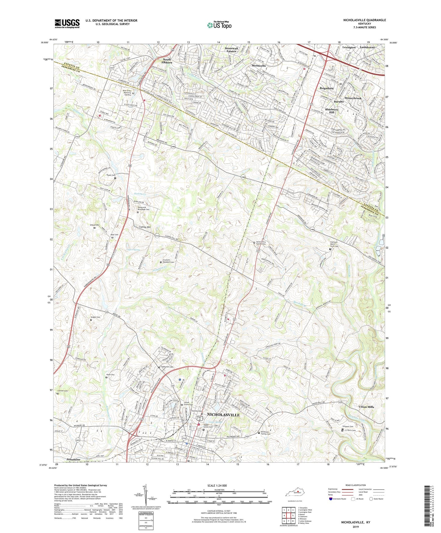
Nicholasville Kentucky US Topo Map
Couldn't load pickup availability
2022 topographic map quadrangle Nicholasville in the state of Kentucky. Scale: 1:24000. Based on the newly updated USGS 7.5' US Topo map series, this map is in the following counties: Jessamine, Fayette. The map contains contour data, water features, and other items you are used to seeing on USGS maps, but also has updated roads and other features. This is the next generation of topographic maps. Printed on high-quality waterproof paper with UV fade-resistant inks.
Quads adjacent to this one:
West: Keene
Northwest: Versailles
North: Lexington West
Northeast: Lexington East
East: Coletown
Southeast: Valley View
South: Little Hickman
Southwest: Wilmore
This map covers the same area as the classic USGS quad with code o37084h5.
Contains the following named places: Aaron Farra Family Cemetery, Allandale Farm, Almahurst Horse Farm, Ashbrook Farm, Baralto, Blue Grass Memorial Gardens, Blue Grass Raceway, Blueberry Hill, Bluegrass Post Office, Brannon, Brannon Post Office, Brannon Railroad Station, Brigadoon, Catnip, Catnip Hill, City of Nicholasville, Clarence Marrs Farm Cemetery, Cobbs Service Station, Cogars Spring, Connemara Golf Course, Corman Cemetery, Crockett - Woodson Cemetery, Daniel Boone Bryan Historical Marker, Dickerson Family Cemetery, Duncan Cemetery, Elm Cove Farm, Equestrian Woods Horse Farm, Fayette Mall, Fountain House Farm, Glen Cottage Farm, Hickman Lily Mill, J C Perry Cemetery, Jessamine, Jessamine County Emergency Medical Services, Jessamine County Fire Department Station 4, Jessamine County Fire Department Station 5, Jessamine County Fire Department Station 6, Jessamine County Sheriff's Office, Jessamine Post Office, Jessamine Railroad Station, Jessie M Clark Middle School, Keene Division, Knight Cemetery, Lake Mingo, Lansdowne, Lansdowne Elementary School, Lexington Fire Department Station 15, Lexington Park, Locust Grove Cemetery, Lyons School, Maple Grove Cemetery, Maple Hill Farm, Marshall Branch, Monticello, Nave Cemetery, Neal Cemetery, Neal School, Nealton, Nealton Post Office, Nealton Railroad Station, Nicholasville, Nicholasville City Fire Department Station 3, Nicholasville Fire Department Station 1, Nicholasville Police Department, Nicholasville Post Office, O'Neal Cemetery, Perry Post Office, Perry Railroad Station, Providence Church, Red Oak, Red Oak School, Shady Grove Farm, Simpson Cemetery, South Elkhorn, South Elkhorn Christian Church Historical Marker, Southern Junior High School, Southern Middle School, Springdale Church, Stonewall Church, Stoneybrook, Sunnyside Farm, Tablelands Farm, Thorn Hill Farm, Todhunter Cemetery, Union Mills, Union Mills Post Office, Veterans Park Elementary School, Waveland Museum, WCGW-AM (Nicholasville), Whispering Hills Church, Wilmore Park, WNVL-AM (Nicholasville), Woodland Farm, Wyatt Cemetery, Wymers Branch, Young and Bronaugh Cemetery, ZIP Code: 40514


