MyTopo
Tallega Kentucky US Topo Map
Couldn't load pickup availability
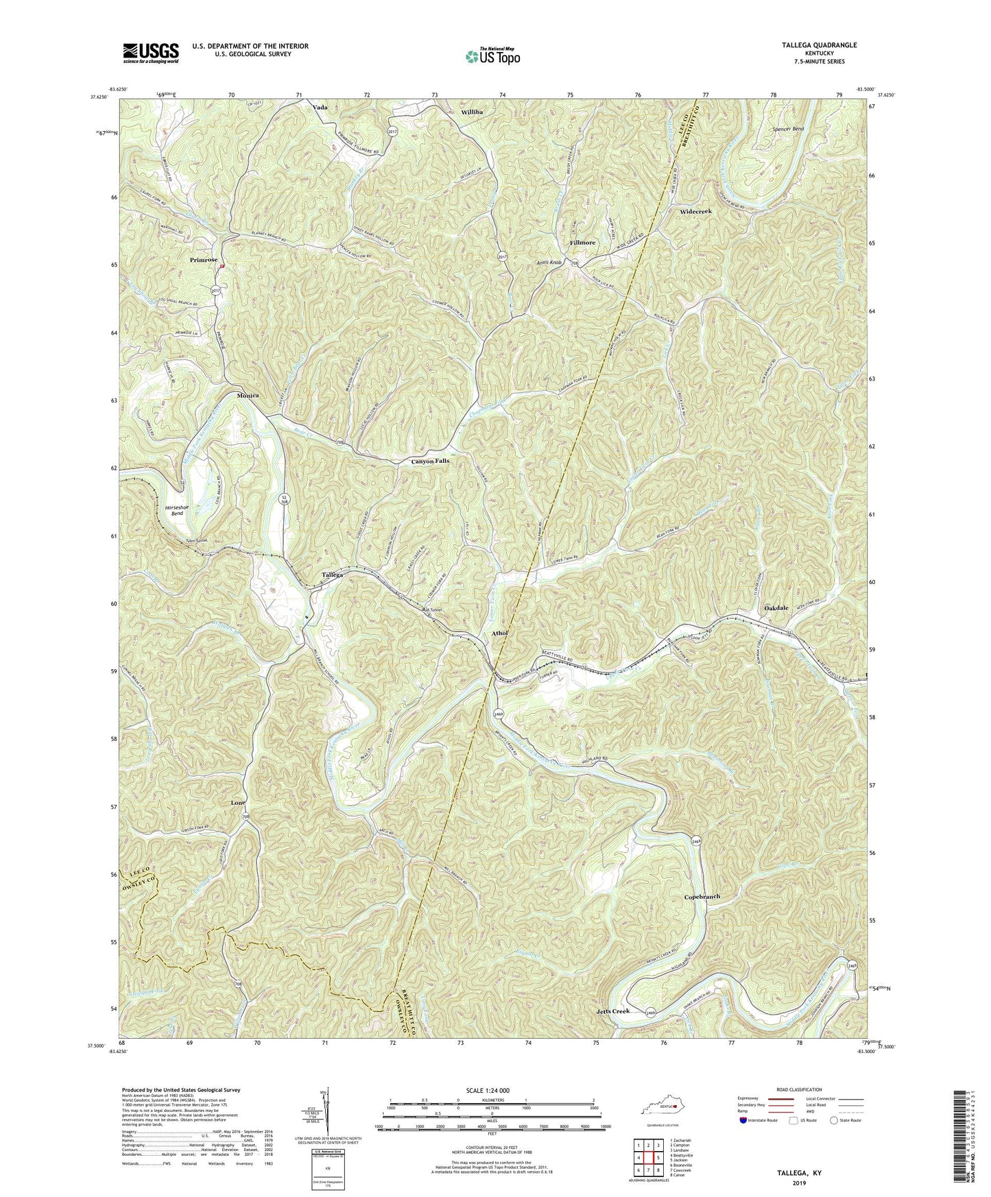
2022 topographic map quadrangle Tallega in the state of Kentucky. Scale: 1:24000. Based on the newly updated USGS 7.5' US Topo map series, this map is in the following counties: Breathitt, Lee, Owsley. The map contains contour data, water features, and other items you are used to seeing on USGS maps, but also has updated roads and other features. This is the next generation of topographic maps. Printed on high-quality waterproof paper with UV fade-resistant inks.
Quads adjacent to this one:
West: Beattyville
Northwest: Zachariah
North: Campton
Northeast: Landsaw
East: Jackson
Southeast: Canoe
South: Cowcreek
Southwest: Booneville
This map covers the same area as the classic USGS quad with code o37083e5.
Contains the following named places: Anvil Knob, Athol, Bean Fork, Bear Creek, Beginning Branch, Bowman Branch, Brewer Fork, Bryant Creek, Canyon Falls, Chapmans Fork, Clover Branch, Coal Branch, Coal Branch School, Cope Branch, Copebranch, Fillmore, Glen Eden Community Center, Gum Springs Bible Church, Horseshoe Bend, Jetts Creek, Keen Fork, Lick Branch, Lick Creek, Little Bear Creek, Little Rock Lick Creek, Lone, Lower Twin Creek, Lynam Creek, Lynam Creek School, Mill Creek, Mill Creek School, Monica, Mud Tunnel, New Springs Church, Oakdale, Primrose, Primrose Volunteer Fire Department, Puncheon Camp Creek, Rock Lick Mission Hall, Rock Lick School, Saint Helens Division, Snake Branch, Spencer Bend, Spencer Bend Church, Tallega, Tallega Mission School, Tyler Tunnel, Upper Twin Creek, Vada, Widecreek, Willba Post Office, Williba, Wolfpen Branch


