MyTopo
Taylorsville Kentucky US Topo Map
Couldn't load pickup availability
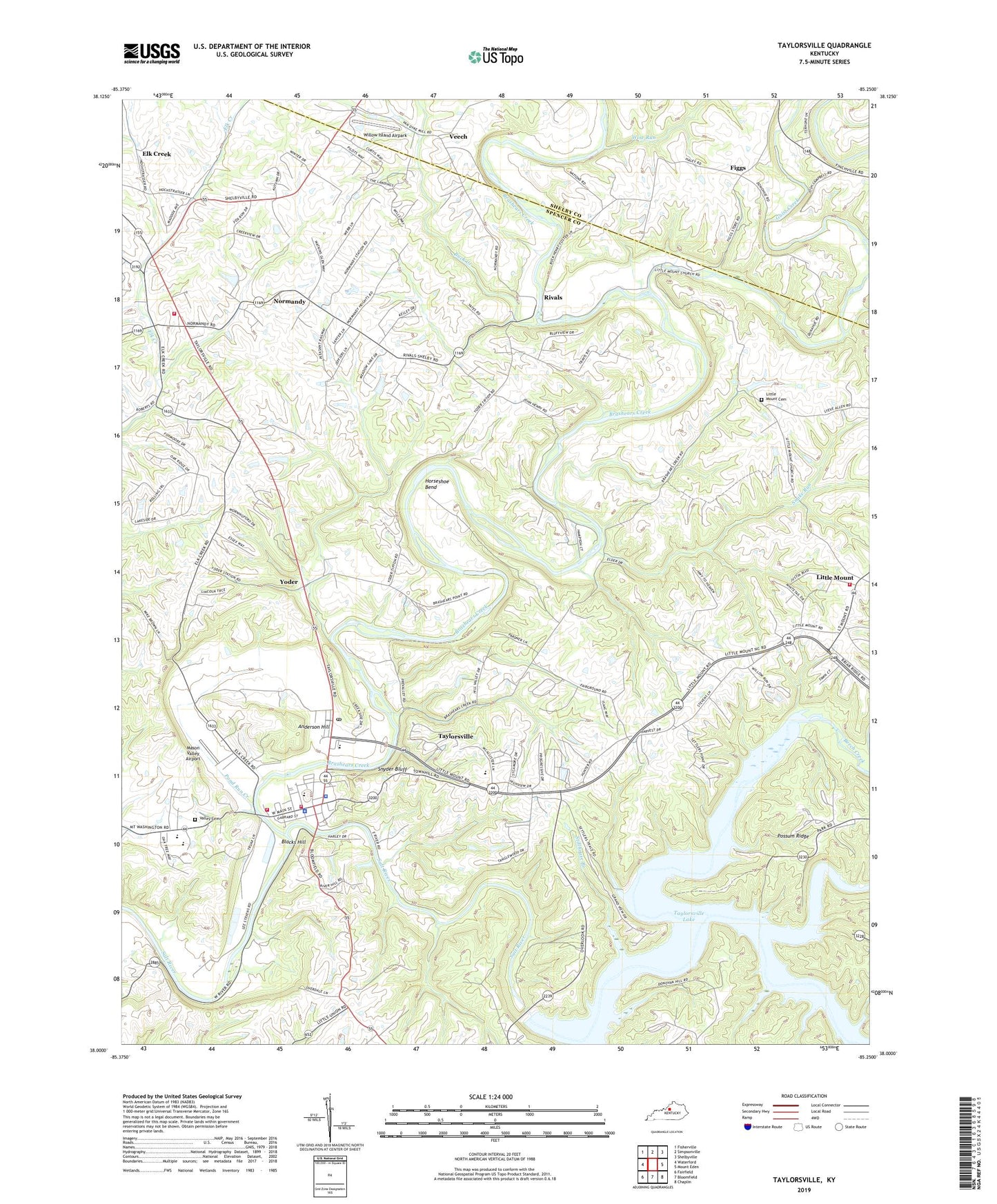
2022 topographic map quadrangle Taylorsville in the state of Kentucky. Scale: 1:24000. Based on the newly updated USGS 7.5' US Topo map series, this map is in the following counties: Spencer, Shelby. The map contains contour data, water features, and other items you are used to seeing on USGS maps, but also has updated roads and other features. This is the next generation of topographic maps. Printed on high-quality waterproof paper with UV fade-resistant inks.
Quads adjacent to this one:
West: Waterford
Northwest: Fisherville
North: Simpsonville
Northeast: Shelbyville
East: Mount Eden
Southeast: Chaplin
South: Bloomfield
Southwest: Fairfield
This map covers the same area as the classic USGS quad with code o38085a3.
Contains the following named places: Anderson Hill, Ashes Creek, Beech Creek, Blacks Hill, Brashears Creek, Buck Creek, Bucks Creek Farm, Camden School, City of Taylorsville, Culpepper School, Elk Creek, Elk Creek Census Designated Place, Elk Creek Post Office, Elk Creek Seminary, Figgs, Figgs Post Office, Guist Creek, Horseshoe Bend, Houston Ford, Little Beech Creek, Little Mount, Little Mount Baptist Church, Little Mount Cemetery, Little Mount Post Office, Little Mount School, Mason Valley Airport, Normandy, Normandy Post Office, Parkers Cove, Pond Run Creek, Ray Jewell Memorial Park, Rivals, Rivals Post Office, Riverhill Farm, Riverside School, School Number Five, School Number Sixteen, Snake Run, Snyder Bluff, Spencer County, Spencer County Emergency Medical Service, Spencer County Sheriff's Department, Stillhouse Branch, Taylorsville, Taylorsville - Spencer County Fire Protection District - Station 2, Taylorsville - Spencer County Fire Protection District Station 1, Taylorsville - Spencer County Fire Protection District Station 4, Taylorsville Division, Taylorsville Lake, Taylorsville Lake State Park Campground, Taylorsville Police Department, Taylorsville Post Office, Valley Cemetery, Van Dykes Mill, Veech, Veech Railroad Station, Watson Ford, Willow Island Airpark, Willow Spring, Wise Run, Yoder, Yoder Railroad Station


