MyTopo
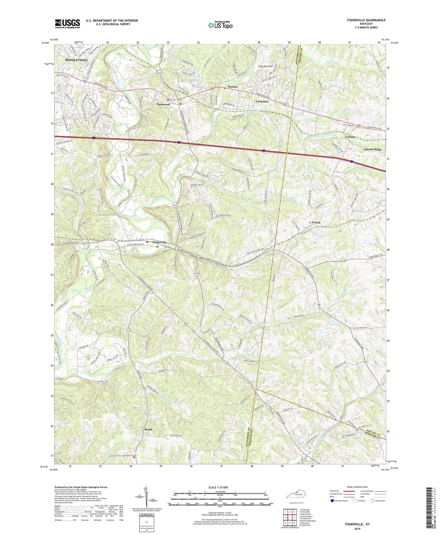
Fisherville Kentucky US Topo Map
Couldn't load pickup availability
2022 topographic map quadrangle Fisherville in the state of Kentucky. Scale: 1:24000. Based on the newly updated USGS 7.5' US Topo map series, this map is in the following counties: Jefferson, Shelby, Spencer. The map contains contour data, water features, and other items you are used to seeing on USGS maps, but also has updated roads and other features. This is the next generation of topographic maps. Printed on high-quality waterproof paper with UV fade-resistant inks.
Quads adjacent to this one:
West: Jeffersontown
Northwest: Anchorage
North: Crestwood
Northeast: Ballardsville
East: Simpsonville
Southeast: Taylorsville
South: Waterford
Southwest: Mount Washington
This map covers the same area as the classic USGS quad with code o38085b4.
Contains the following named places: Ascension Lutheran Church, Bethlehem Cumberland Presbyterian Church, Big Long Run, Boston, Brentlawn Race Course, Brush Run, Camp Dan Beard, Cane Run, Chenoweth Run, Clark, Clark Railroad Station, Conner, Dunbar Branch, East Fork Cane Run, Eastwood, Eastwood Christian Church, Eastwood Fire Department Station 1, Eastwood Fire Department Station 2, Eastwood Post Office, Faith United Church of Christ, Fern Creek Fire Department Station 3, First Baptist Church of Eastwood, Fisherville, Fisherville Division, Fisherville Post Office, Floyds Fork Division, Floyds Fork Post Office, Floyds Fork Railroad Station, Floyds Fork Wastewater Treatment Plant, Greater Life Apostolic Church, Humes Station, L S Park, Lakewood Baptist Church, Lincoln Ridge, Lincoln Ridge Post Office, Long Run, Long Run Hill, New Eastwood, Old Eastwood, Pauls Creek, Pope Lick, Poplar Level Church, Reformed Baptist Church of Louisville, Resurrection United Methodist Church, Routt, Saint Lukes Church, Shakes Run, Sheckels Run, South Long Run, Whitney M. Young Jr. Residential Manpower Center, Wilsonville, Wilsonville Post Office, WLSY-FM (Jeffersontown), ZIP Code: 40023


