MyTopo
Carencro Bayou Louisiana US Topo Map
Couldn't load pickup availability
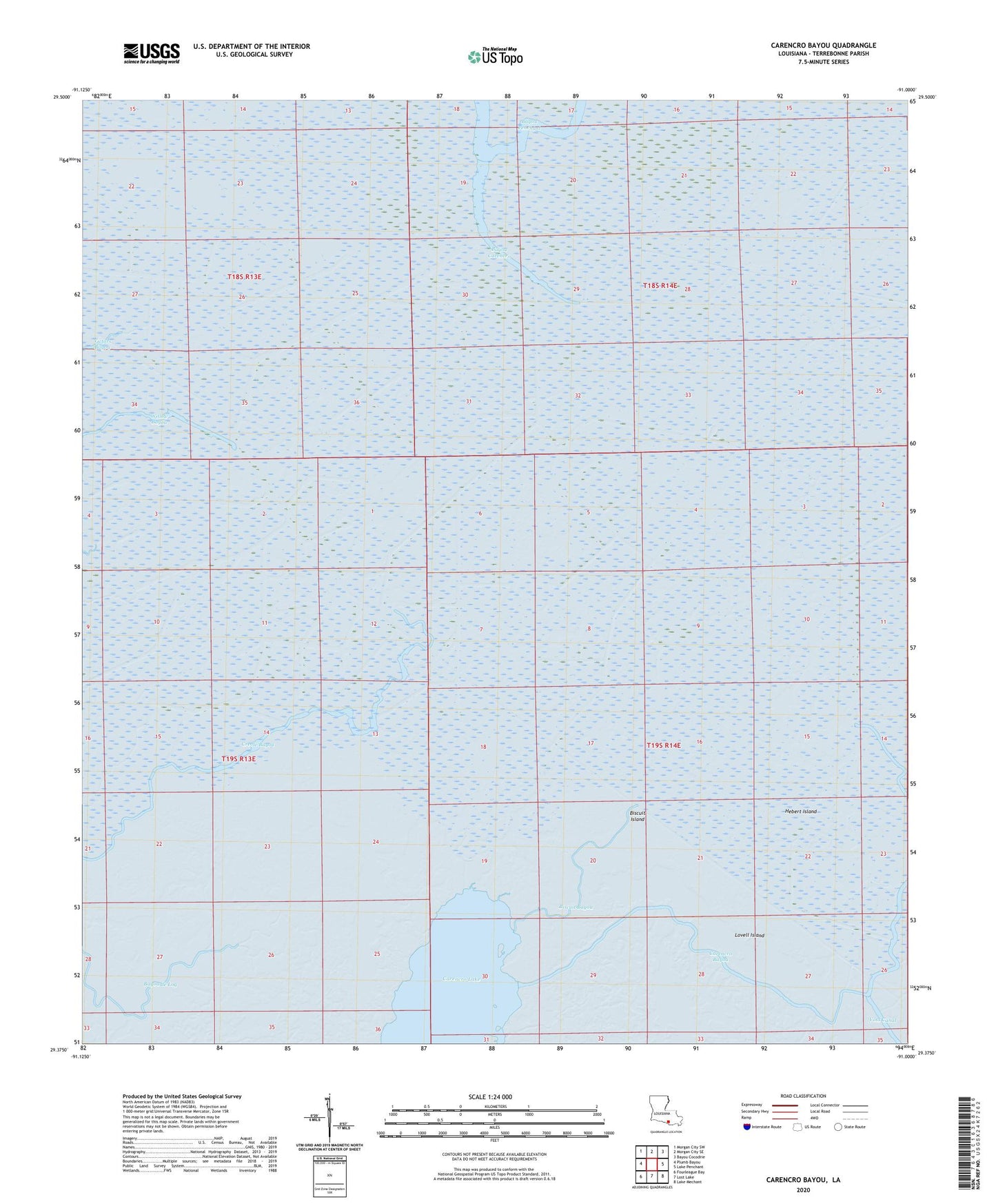
2024 topographic map quadrangle Carencro Bayou in the state of Louisiana. Scale: 1:24000. Based on the newly updated USGS 7.5' US Topo map series, this map is in the following counties: Terrebonne. The map contains contour data, water features, and other items you are used to seeing on USGS maps, but also has updated roads and other features. This is the next generation of topographic maps. Printed on high-quality waterproof paper with UV fade-resistant inks.
Quads adjacent to this one:
West: Plumb Bayou
Northwest: Morgan City SW
North: Morgan City SE
Northeast: Bayou Cocodrie
East: Lake Penchant
Southeast: Lake Mechant
South: Lost Lake
Southwest: Fourleague Bay
This map covers the same area as the classic USGS quad with code o29091d1.
Contains the following named places: Bayou Carencro, Bayou Penchant Oil and Gas Field, Biscuit Bayou, Biscuit Island, Carencro Bayou, Carencro Lake, Hebert Island, Lovell Island