MyTopo
Delcambre Louisiana US Topo Map
Couldn't load pickup availability
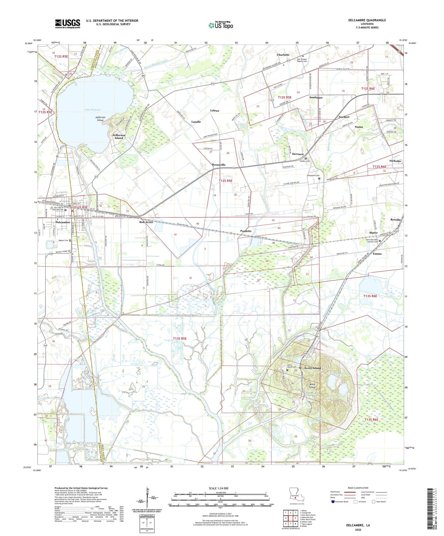
2024 topographic map quadrangle Delcambre in the state of Louisiana. Scale: 1:24000. Based on the newly updated USGS 7.5' US Topo map series, this map is in the following counties: Iberia, Vermilion. The map contains contour data, water features, and other items you are used to seeing on USGS maps, but also has updated roads and other features. This is the next generation of topographic maps. Printed on high-quality waterproof paper with UV fade-resistant inks.
Quads adjacent to this one:
West: Abbeville East
Northwest: Milton
North: Youngsville
Northeast: New Iberia North
East: New Iberia South
Southeast: Weeks
South: Tigre Lagoon
Southwest: Hebert Lake
This map covers the same area as the classic USGS quad with code o29091h8.
Contains the following named places: Avery Island, Avery Island Cemetery, Avery Island Oil Field, Avery Island Post Office, Badeaux Coulee, Bayou Carlin, Bayou Parc Perdu, Bayou Tigre, Blue Pond, Bob Acres, Broussard Cemetery, Brousville, Charlotte, Coulee Malam, De Vance Pond, Deblanc Coulee, Delcambre, Delcambre Canal, Delcambre Elementary School, Delcambre High School, Delcambre Police Department, Delcambre Volunteer Fire Department, Delcambre Wastewater Treatment Plant, Derouen, Emma, Faith Cathedral, First Baptist Church, Hayes Coulee, Hayes Pond, Iberia Parish Library Delcambre Branch, Jefferson Canal, Jefferson Island, Jefferson Island Elementary School, Jefferson Island Oil and Gas Field, Jungle Gardens, Lake Peigneur, Lasalle, Leleux, Leonards Airfield & Indust Park Airport, Malam Branch Canal, Marce, Migues Cemetery, Nicholas, Norbert, Norris Branch Canal, Numa, Our Lady of the Lake Catholic Church, Parish Governing Authority District 13, Petite Anse Canal, Poufette, Poufette Canal, Rip Van Winkle Gardens, Rynella, Saint Marcellus Catholic Church, Saint Martin De Porres Catholic Church, Saline Wood Pond, Santiague, Spencer School, Star Temple Baptist Church, Ternell School, Tigre Lagoon Oil and Gas Field, Town of Delcambre, Transco Delcambre Heliport, Ward One, Willow Pond, ZIP Codes: 70513, 70528, 70560


