MyTopo
Tigre Lagoon Louisiana US Topo Map
Couldn't load pickup availability
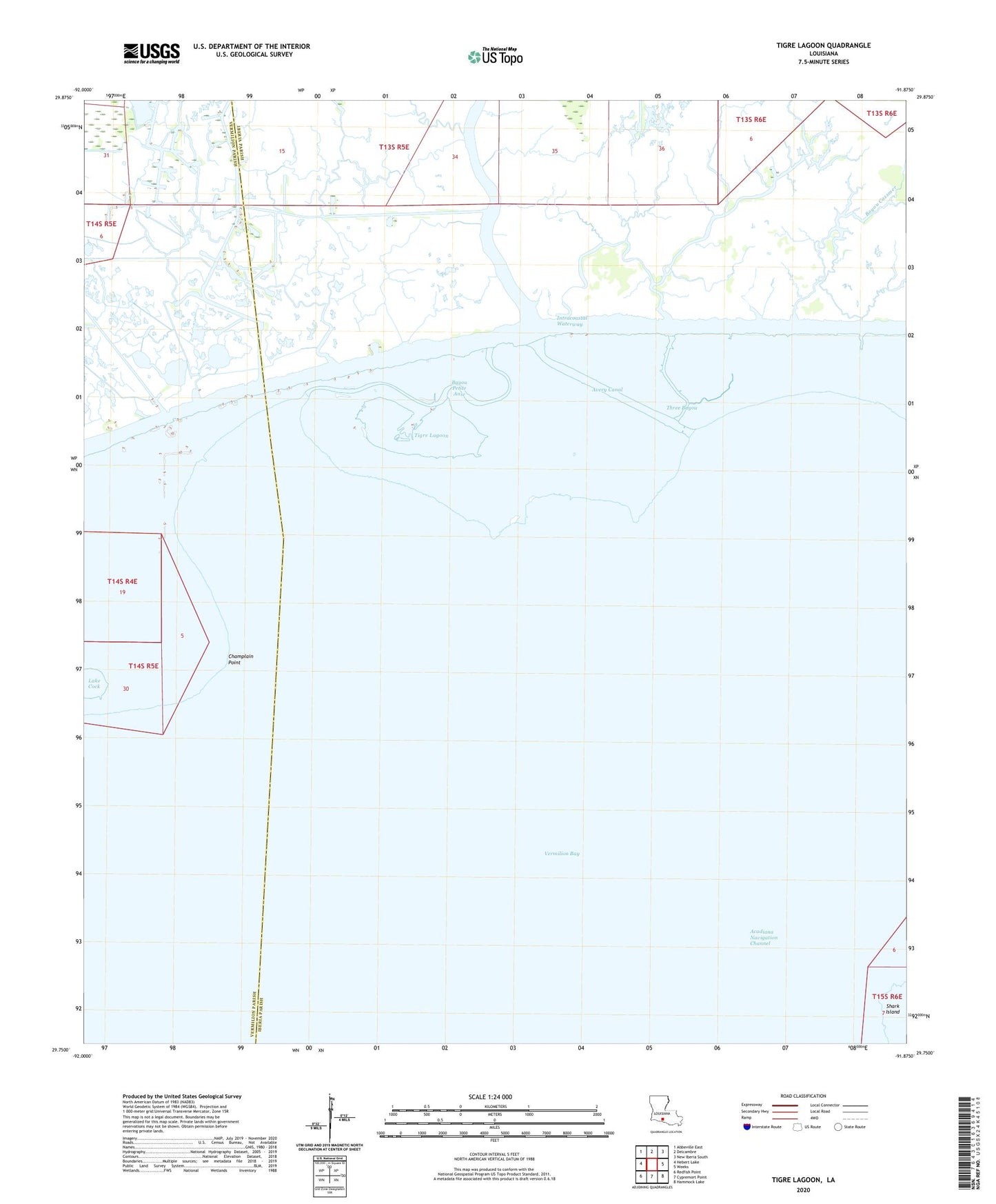
2024 topographic map quadrangle Tigre Lagoon in the state of Louisiana. Scale: 1:24000. Based on the newly updated USGS 7.5' US Topo map series, this map is in the following counties: Iberia, Vermilion. The map contains contour data, water features, and other items you are used to seeing on USGS maps, but also has updated roads and other features. This is the next generation of topographic maps. Printed on high-quality waterproof paper with UV fade-resistant inks.
Quads adjacent to this one:
West: Hebert Lake
Northwest: Abbeville East
North: Delcambre
Northeast: New Iberia South
East: Weeks
Southeast: Hammock Lake
South: Cypremort Point
Southwest: Redfish Point
This map covers the same area as the classic USGS quad with code o29091g8.
Contains the following named places: Avery Canal, Bayou Cassmer, Bayou Hebert Gas Field, Bayou Petite Anse, Bayou Portage, Champlain Point, Oaks Canal, South Tigre Lagoon Gas Field, Three Bayou, Tigre Lagoon