MyTopo
Enterprise Louisiana US Topo Map
Couldn't load pickup availability
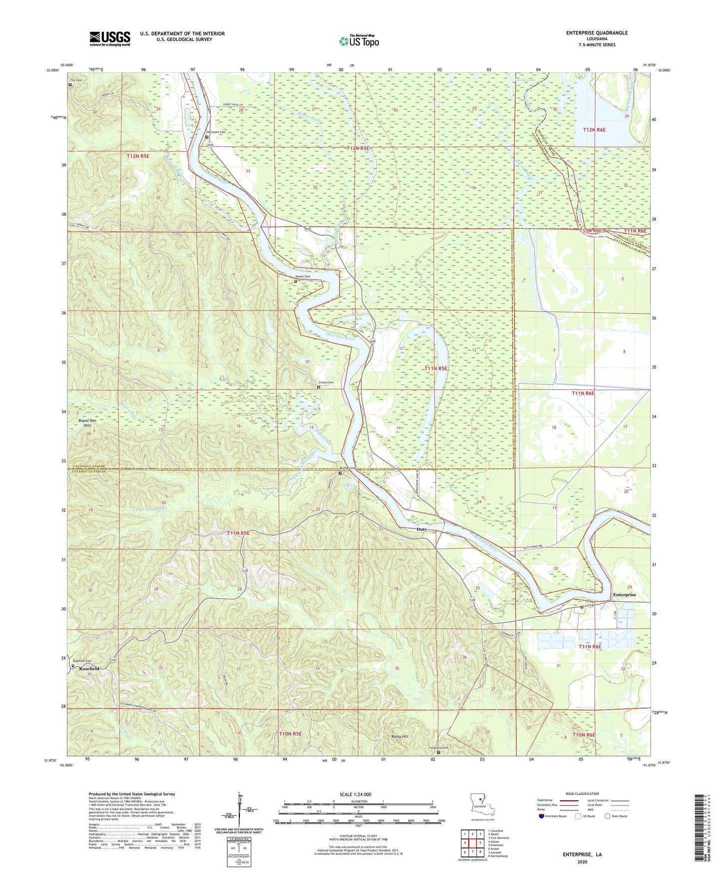
2024 topographic map quadrangle Enterprise in the state of Louisiana. Scale: 1:24000. Based on the newly updated USGS 7.5' US Topo map series, this map is in the following counties: Catahoula, Caldwell, Franklin. The map contains contour data, water features, and other items you are used to seeing on USGS maps, but also has updated roads and other features. This is the next generation of topographic maps. Printed on high-quality waterproof paper with UV fade-resistant inks.
Quads adjacent to this one:
West: Holum
Northwest: Columbia
North: Mason
Northeast: Fort Necessity
East: Extension
Southeast: Harrisonburg
South: Aimwell
Southwest: Nickel
This map covers the same area as the classic USGS quad with code o31091h8.
Contains the following named places: Bayou Calamus, Bayou Dan, Bayou Dan Hills, Bayou Wade, Big Grassy Bayou, Blythe Cemetery, Catahoula Cemetery, Catahoula Church, Cottingham Landing, Cottonwood Landing, Duty, Enterprise, Enterprise Fire Department, Enterprise High School, Enterprise Post Office, Fife Cemetery, Grassy Bayou, Horseshoe Lake, Lively Cemetery, Lively Lake, Lower Coles Landing, McSween Cemetery, McSween Landing, Myatt Landing, Neathery Woodyard, Pierce Landing, Rocky Hill, Rosefield, Rosefield Cemetery, S B Harrelson Pond Dam, Sandy Bayou, Sandy Bayou Baptist Church, South Fork Bayou Dan, Sphinx Landing, Upper Danville Landing, Wyant Cemetery