MyTopo
Gueydan Louisiana US Topo Map
Couldn't load pickup availability
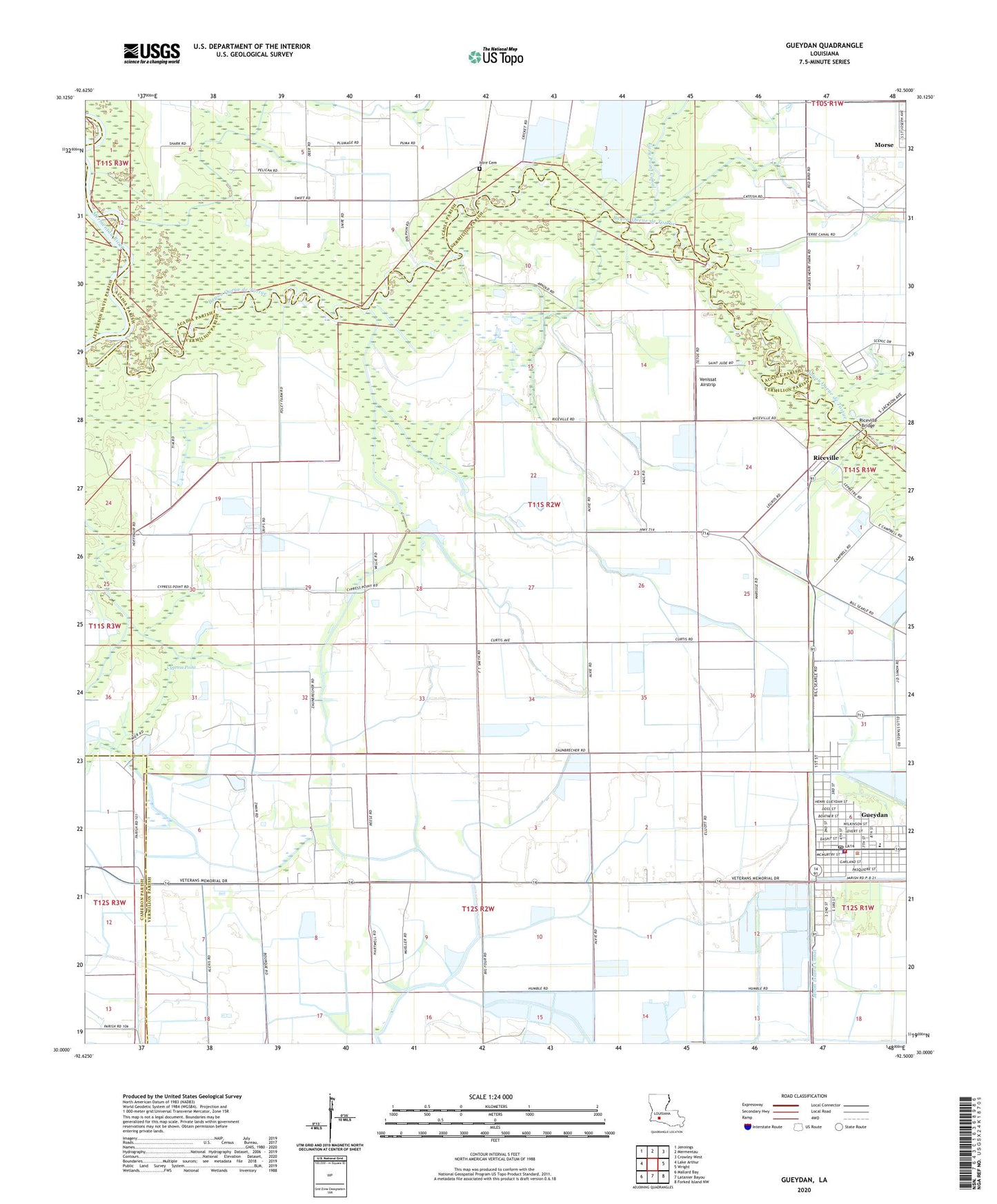
2024 topographic map quadrangle Gueydan in the state of Louisiana. Scale: 1:24000. Based on the newly updated USGS 7.5' US Topo map series, this map is in the following counties: Vermilion, Acadia, Cameron, Jefferson Davis. The map contains contour data, water features, and other items you are used to seeing on USGS maps, but also has updated roads and other features. This is the next generation of topographic maps. Printed on high-quality waterproof paper with UV fade-resistant inks.
Quads adjacent to this one:
West: Lake Arthur
Northwest: Jennings
North: Mermentau
Northeast: Crowley West
East: Wright
Southeast: Forked Island NW
South: Latanier Bayou
Southwest: Mallard Bay
This map covers the same area as the classic USGS quad with code o30092a5.
Contains the following named places: Boatner Landing Strip, Cypress Point, First Baptist Church, Gueydan, Gueydan Elementary School, Gueydan Head Start School, Gueydan High School, Gueydan Museum and Cultural Arts Center, Gueydan Police Department, Gueydan Post Office, Gueydan Sewage Treatment Facility, Gueydan United Methodist Church, Gueydan Volunteer Fire Department, Hubbard United Church of Christ, Istre Cemetery, Lazy Point Canal, Moon Island Canal, Morse Water Treatment Facility, Riceville, Riceville Bridge, Riceville Gas Field, Saint Peter Catholic Church, Saint Peter School, South Riceville Gas Field, Town of Gueydan, Venissat Airstrip, Vermilion Parish Library Gueydan Branch, Ward Eight, West Gueydan Oil and Gas Field, ZIP Code: 70542