MyTopo
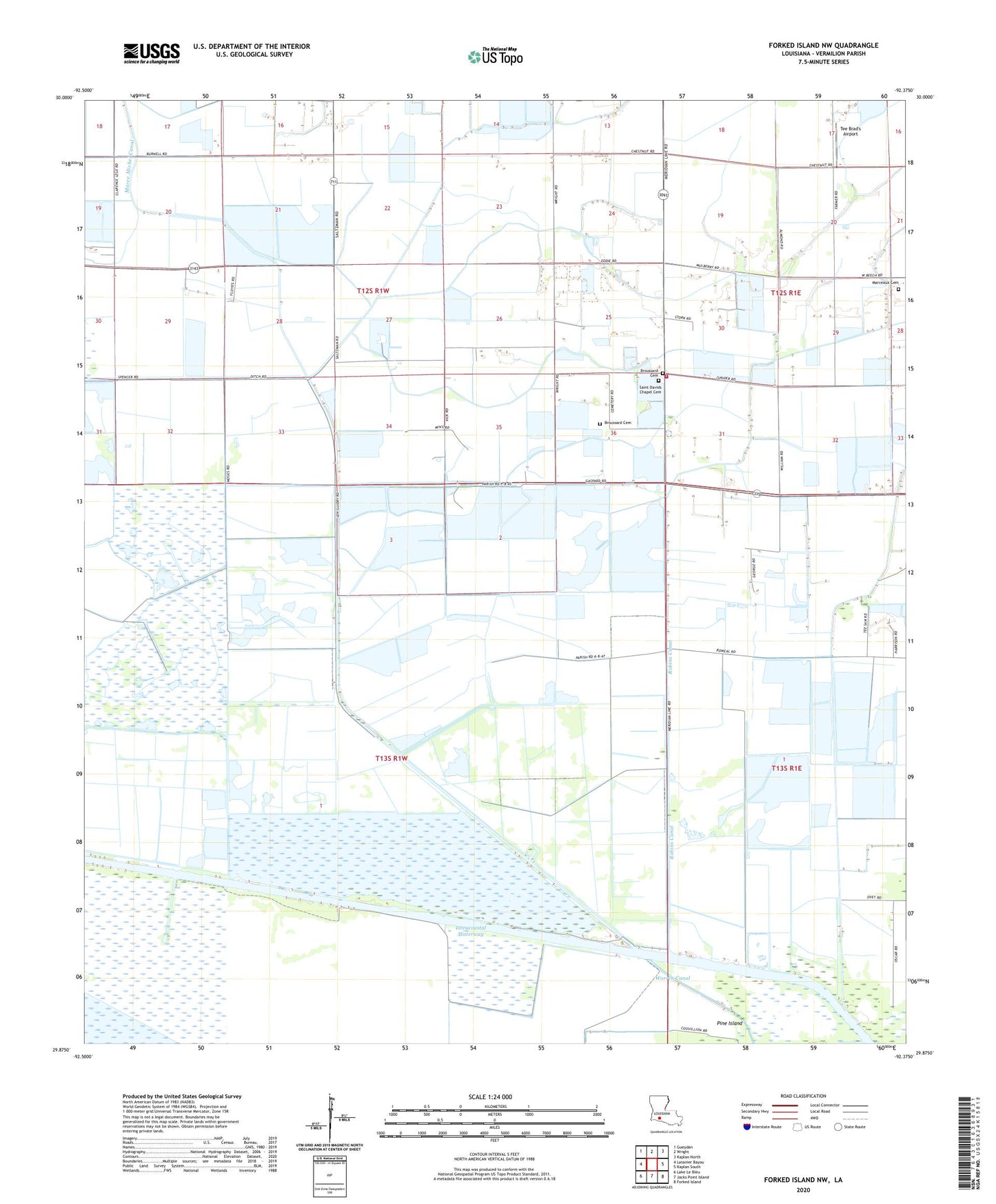
Forked Island NW Louisiana US Topo Map
Couldn't load pickup availability
2024 topographic map quadrangle Forked Island NW in the state of Louisiana. Scale: 1:24000. Based on the newly updated USGS 7.5' US Topo map series, this map is in the following counties: Vermilion. The map contains contour data, water features, and other items you are used to seeing on USGS maps, but also has updated roads and other features. This is the next generation of topographic maps. Printed on high-quality waterproof paper with UV fade-resistant inks.
Quads adjacent to this one:
West: Latanier Bayou
Northwest: Gueydan
North: Wright
Northeast: Kaplan North
East: Kaplan South
Southeast: Forked Island
South: Jacks Point Island
Southwest: Lake Le Bleu
This map covers the same area as the classic USGS quad with code o29092h4.
Contains the following named places: Broussard Cemetery, Florence Gas Field, Little Chapel Volunteer Fire Department, Marceaux, Marceaux Cemetery, Robins Canal, Saint Davids Church, Saltzman Number 1 Landing Field, Saltzman Number 2 Landing Field, Simon Landing Field, South Kaplan Gas Field, Southeast Gueydan Gas Field, Tee Brad's Airport