MyTopo
Jeanerette Louisiana US Topo Map
Couldn't load pickup availability
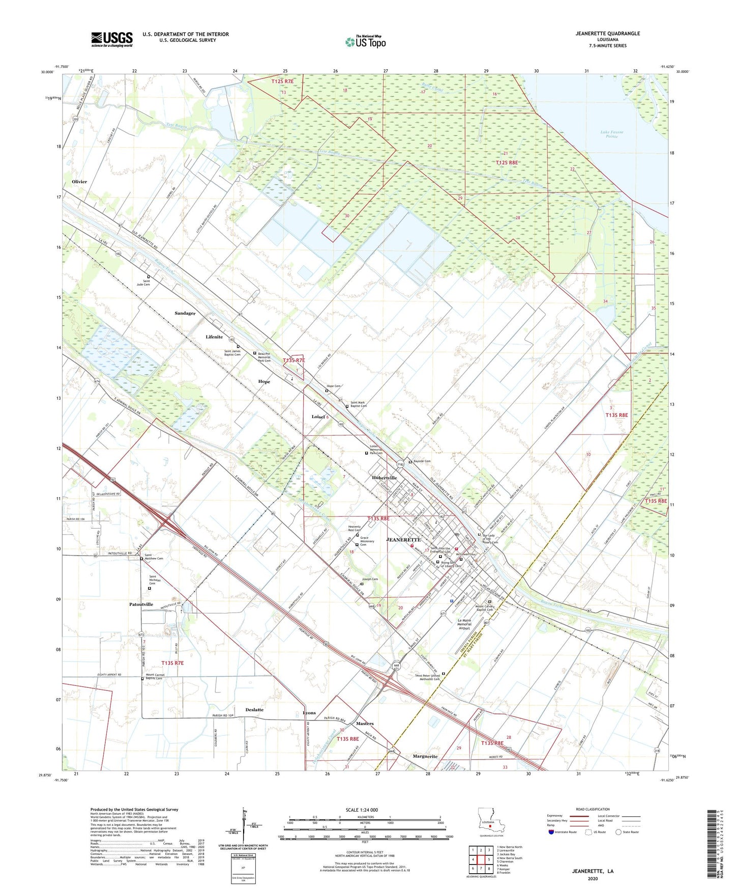
2024 topographic map quadrangle Jeanerette in the state of Louisiana. Scale: 1:24000. Based on the newly updated USGS 7.5' US Topo map series, this map is in the following counties: Iberia, St. Mary. The map contains contour data, water features, and other items you are used to seeing on USGS maps, but also has updated roads and other features. This is the next generation of topographic maps. Printed on high-quality waterproof paper with UV fade-resistant inks.
Quads adjacent to this one:
West: New Iberia South
Northwest: New Iberia North
North: Loreauville
Northeast: Jackass Bay
East: Charenton
Southeast: Franklin
South: Kemper
Southwest: Weeks
This map covers the same area as the classic USGS quad with code o29091h6.
Contains the following named places: Bayside Cemetery, Bayside Plantation, Boudreaux's Mobile Home Park, Bourgeois Landing, Butte Canal, Calvary Pentecostal Church, Calvary Presbyterian Church, Canal Street Elementary School, Church of Christ, City of Jeanerette, Delahoussaye Canal, Deslatte, Diamond Shamrock Heliport, First Baptist Church, First Church of God in Christ, First Church of God in Christ Annex, First Good Hope Baptist Church, First Jerusalem Baptist Church, Francis Boley Junior High School, Grand Marais Elementary School, Hope, Hope Cemetery, Hubertville, Iberia Oil and Gas Field, Jeanerette, Jeanerette Canal, Jeanerette City Hall, Jeanerette City Park, Jeanerette Elementary School, Jeanerette Head Start Center School, Jeanerette Police Department, Jeanerette Post Office, Jeanerette Public Library, Jeanerette Senior High School, Jeanerette Volunteer Fire Department Station 2, Jeanerette Volunteer Fire Department Station 600, Jeanerette Wastewater Treatment Plant, Jeanerette Water Treatement Facility, Joseph Cemetery, Joseph Gonsoulin Elementary School, Jubilee Nation Ministries, King Joseph Recreation Center, Le Maire Memorial Airport, Lifenite, Loisel, Loisel Gas Field, Louisiana State University Iberia Research Station, Lyons, Maison Teche Nursing Center, Marguerite, Masters, McGowen Cemetery, McGowen Memorial United Methodist Church, Morning Pilgrim Baptist Church, Mount Calvary Baptist Cemetery, Mount Calvary Baptist Church, Mount Carmel Baptist Church, Mount Zion Methodist Church, North Loisel Gas Field, Our Lady of Victory Catholic Church, Patoutville, Robin Elementary School, Saint Charles Street Elementary School, Saint John the Baptist Church of Charenton, Saint John the Evangelist Catholic Church, Saint John the Evangelist Cemetery, Saint Joseph School, Saint Mark Baptist Church, Saint Marks Church, Saint Matthews Church, Saint Nicholas Catholic Church, Saint Paul United Methodist Church, Saint Peter United Methodist Church, Sandager, Sandager Canal, Tete Bayou, United States Livestock Experimental Farm, Ward Eight Recreation Center, Ward Three, ZIP Code: 70544


