MyTopo
Lake Mongoulois Louisiana US Topo Map
Couldn't load pickup availability
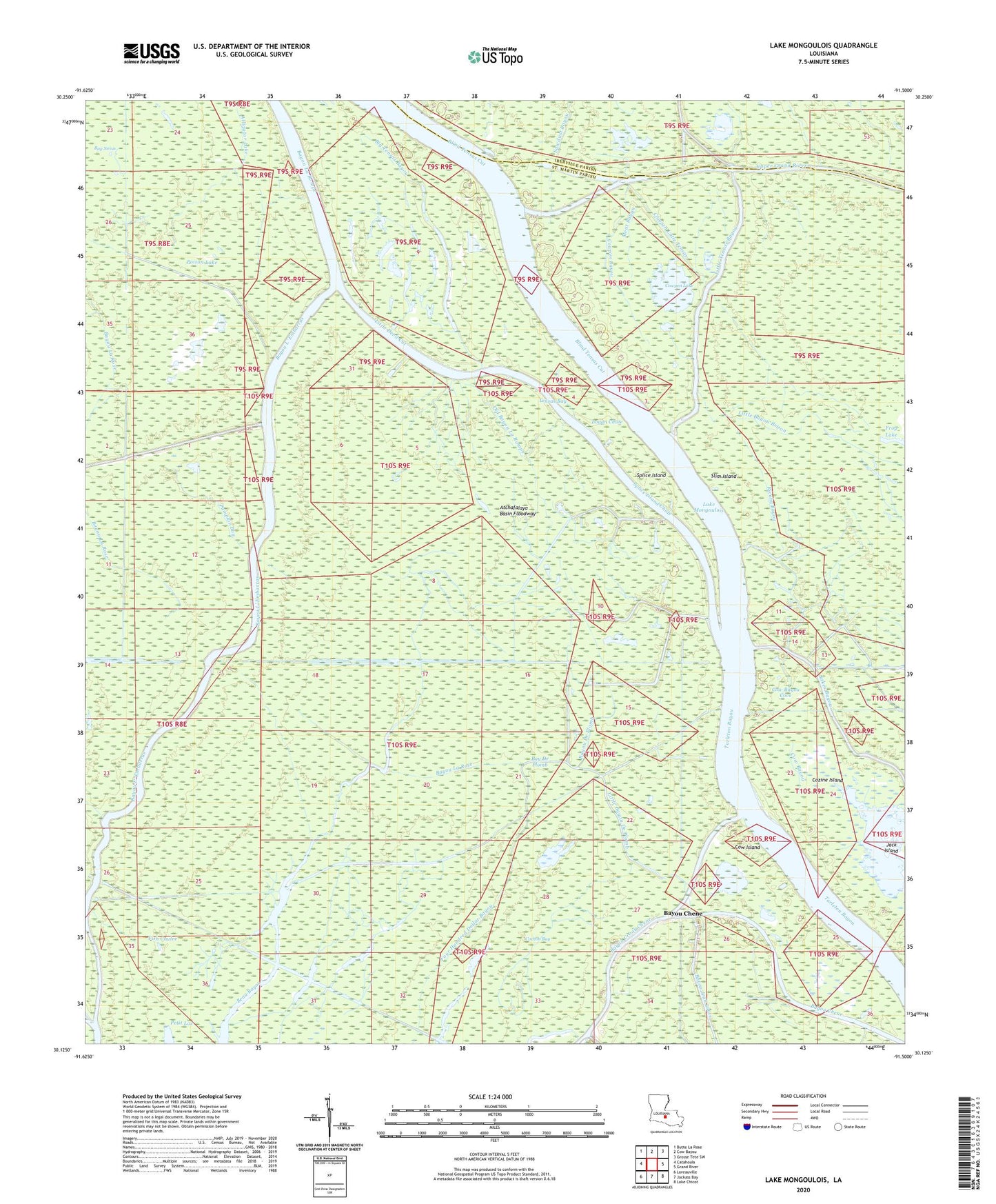
2024 topographic map quadrangle Lake Mongoulois in the state of Louisiana. Scale: 1:24000. Based on the newly updated USGS 7.5' US Topo map series, this map is in the following counties: St. Martin, Iberville. The map contains contour data, water features, and other items you are used to seeing on USGS maps, but also has updated roads and other features. This is the next generation of topographic maps. Printed on high-quality waterproof paper with UV fade-resistant inks.
Quads adjacent to this one:
West: Catahoula
Northwest: Butte La Rose
North: Cow Bayou
Northeast: Grosse Tete SW
East: Grand River
Southeast: Lake Chicot
South: Jackass Bay
Southwest: Loreauville
This map covers the same area as the classic USGS quad with code o30091b5.
Contains the following named places: Alligator Lake, Atchafalaya Basin Floodway, Atchafalaya Basin Main Channel, Bay De Plomb, Bayou Bouillon Oil and Gas Field, Bayou Chene, Bayou Chene Cut, Bayou Chene Oil Field, Bayou Crook Chene Oil Field, Bayou De Plomb, Bayou L' Embarras, Bayou La Rompe, Bayou La Rose, Bayou Leon, Beau Bayou, Big Tensas Bayou, Blind Tensas Cut, Cochon Bay, Cow Bayou, Cow Bayou Cove, Cow Island, Cowpen Bayou, Cowpen Lake, Cowpen Little Tensas, Cozine Bayou, Cozine Island, Fish Coulee, Frog Lake, Frog Lake Gas Field, Graveyard Bayou, Jack Island, Lake Mongoulois, Lake Mongoulois Oil and Gas Field, Little Bayou Brison, Little Bayou De Plomb, Little Devil Cut, Little Tensas Bayou, Logan Chute, Long Lake, Meat Bayou, Old Bayou La Rompe, Poison Lake, Pumpkin Bay, Ricaby Bayou, Saint Martin Parish, Slim Island, Splice Island, Splice Island Chute, Tensas Bay