MyTopo
Lake Chicot Louisiana US Topo Map
Couldn't load pickup availability
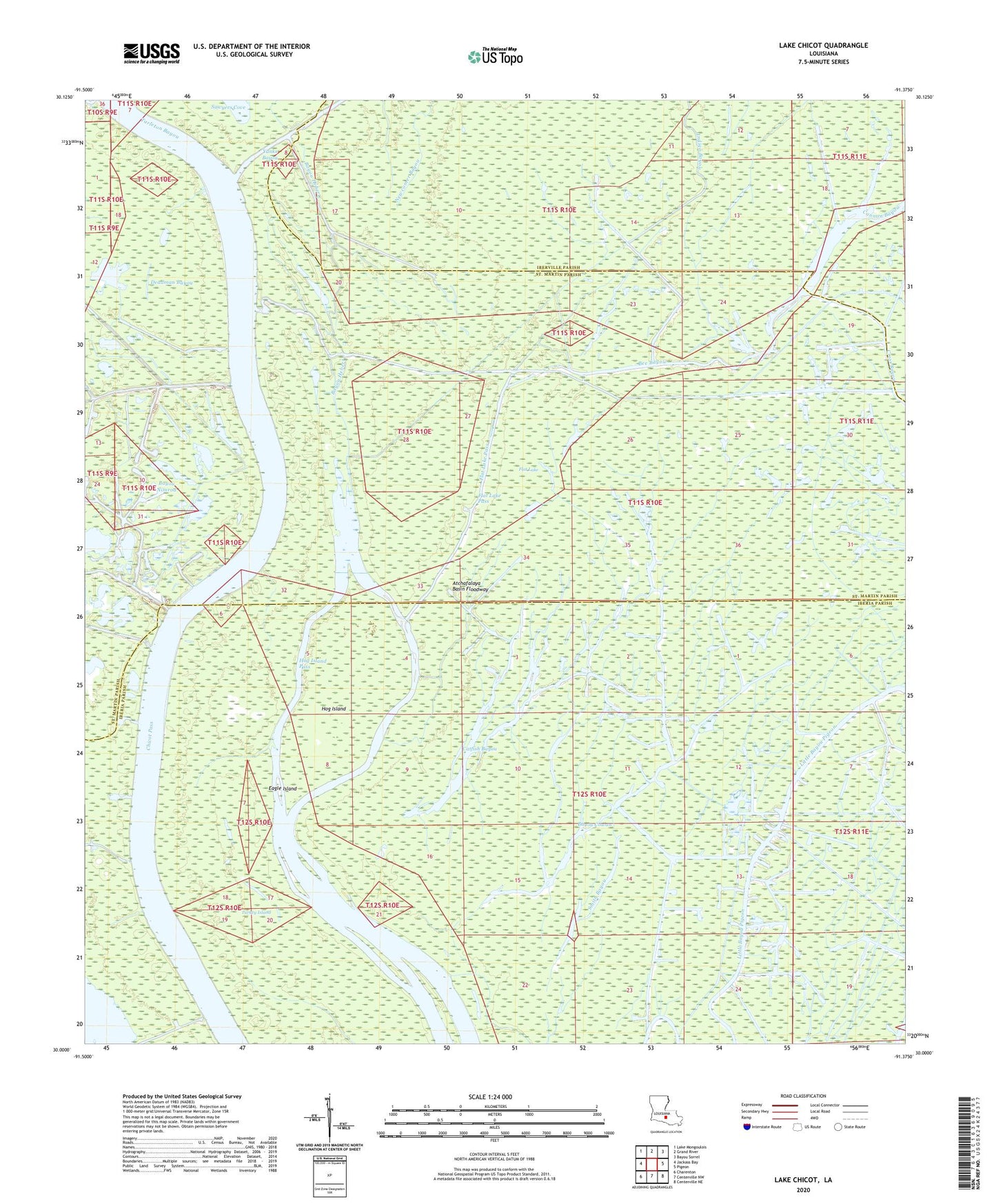
2024 topographic map quadrangle Lake Chicot in the state of Louisiana. Scale: 1:24000. Based on the newly updated USGS 7.5' US Topo map series, this map is in the following counties: Iberia, St. Martin, Iberville. The map contains contour data, water features, and other items you are used to seeing on USGS maps, but also has updated roads and other features. This is the next generation of topographic maps. Printed on high-quality waterproof paper with UV fade-resistant inks.
Quads adjacent to this one:
West: Jackass Bay
Northwest: Lake Mongoulois
North: Grand River
Northeast: Bayou Sorrel
East: Pigeon
Southeast: Centerville NE
South: Centerville NW
Southwest: Charenton
This map covers the same area as the classic USGS quad with code o30091a4.
Contains the following named places: Bayou Chene, Bayou Cowan, Bayou Hebert, Bayou Nimrod, Bayou Pigeon Oil and Gas Field, Bee Bayou, Cannon Bayou, Catfish Bayou, Chicot Pass, Crossing Cove, Deadman Bayou, Deadman Cove, Eagle Island, Flat Lake, Flat Lake Pass, Florida Canal, Grassy Lake, Hog Island, Hog Island Pass, Indigo Bayou, Lake Chicot Oil and Gas Field, Lake Murphy Oil Field, Morris Lake, Murphy Lake, Newcomer Bayou, Tarleton Bayou, Turkey Island, Yanks Bayou