MyTopo
Lena Louisiana US Topo Map
Couldn't load pickup availability
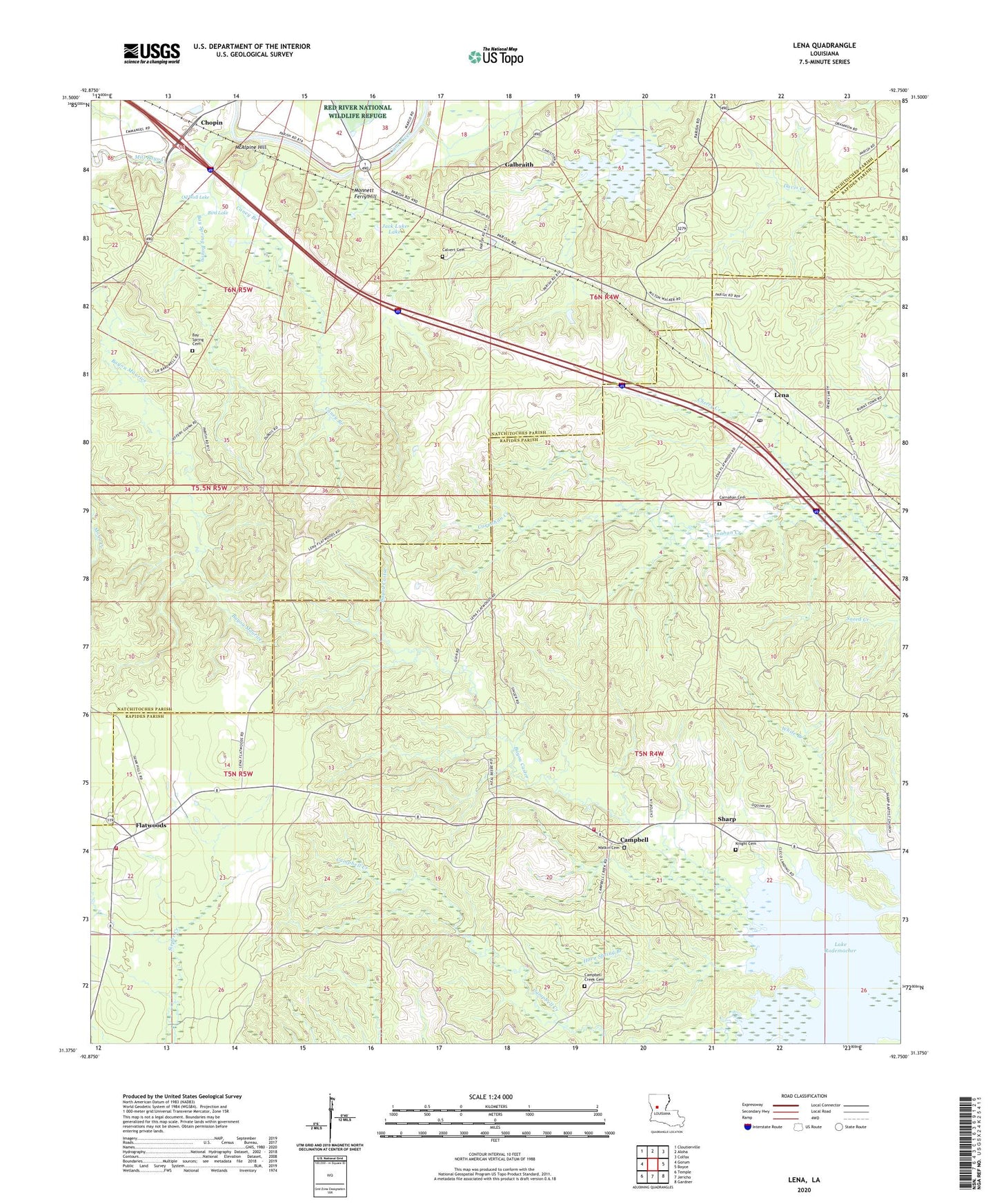
2024 topographic map quadrangle Lena in the state of Louisiana. Scale: 1:24000. Based on the newly updated USGS 7.5' US Topo map series, this map is in the following counties: Rapides, Natchitoches. The map contains contour data, water features, and other items you are used to seeing on USGS maps, but also has updated roads and other features. This is the next generation of topographic maps. Printed on high-quality waterproof paper with UV fade-resistant inks.
Quads adjacent to this one:
West: Gorum
Northwest: Cloutierville
North: Aloha
Northeast: Colfax
East: Boyce
Southeast: Gardner
South: Jericho
Southwest: Temple
This map covers the same area as the classic USGS quad with code o31092d7.
Contains the following named places: Bay Spring Bayou, Bay Spring Cemetery, Bay Springs Church, Bayou Castor, Bird Lake, Boudreaux Lake, Boudreux Lake Dam, Calvert Cemetery, Campbell, Campbell Creek Cemetery, Caney Branch, Carnahan Cemetery, Cherry Creek, Chopin, Chopin Plantation, Chopin Post Office, Damascus Church, Dogwood School, Flatwoods, Flatwoods Church, Flatwoods Post Office, Flatwoods School, Flatwoods Volunteer Fire Department Station 1, Flatwoods Volunteer Fire Department Station 3, Galbraith, Galbraith Oil Field, Galbraith School, Galbraith Station, Holy Family Church, Horn Spring Branch, Jack Luke Lake, Knight Cemetery, Lena, Lena Post Office, McAlpine Hill, Mill Bayou, Mitchell Lake, Monett Ferry, Monnett Ferry Hill, Nash Lake, Odom Creek, Oil Well Lake, Pierre Deboute School, Sharp, Sharp Church, Twin Lakes, Watkin Cemetery, Willow Lake, Wise Memorial Church, ZIP Code: 71447


