MyTopo
Marksville North Louisiana US Topo Map
Couldn't load pickup availability
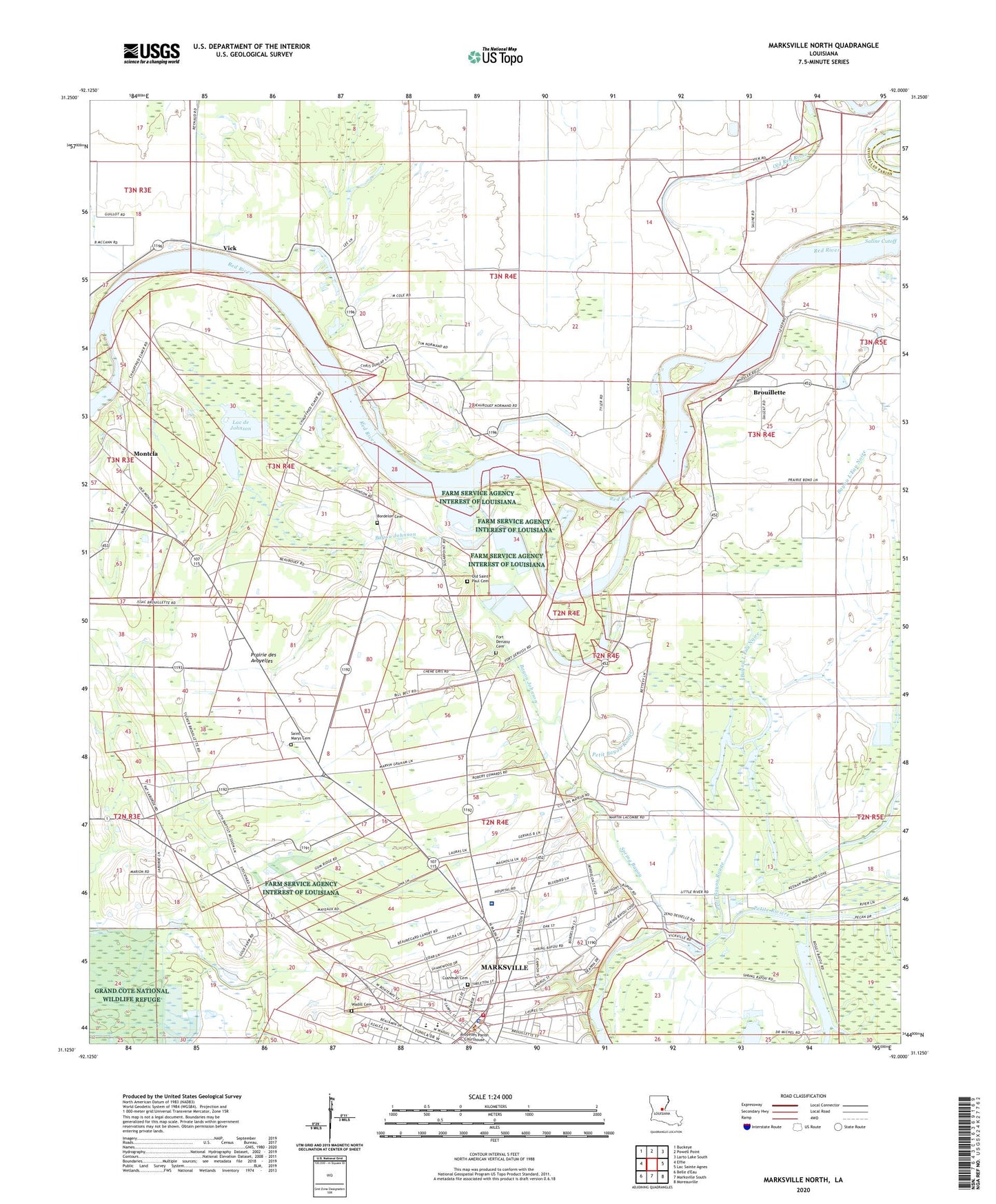
2024 topographic map quadrangle Marksville North in the state of Louisiana. Scale: 1:24000. Based on the newly updated USGS 7.5' US Topo map series, this map is in the following counties: Avoyelles, Catahoula. The map contains contour data, water features, and other items you are used to seeing on USGS maps, but also has updated roads and other features. This is the next generation of topographic maps. Printed on high-quality waterproof paper with UV fade-resistant inks.
Quads adjacent to this one:
West: Effie
Northwest: Buckeye
North: Powell Point
Northeast: Larto Lake South
East: Lac Sainte Agnes
Southeast: Moreauville
South: Marksville South
This map covers the same area as the classic USGS quad with code o31092b1.
Contains the following named places: Alert School, Avoyelles Hospital, Avoyelles Parish Courthouse, Bardin Landing, Bayou Bourbeux, Bayou Johnson, Bayou L'Eau Noire, Belleville, Bettevy Landing, Bordelon Cemetery, Brouillette, Brouillette Volunteer Fire Department Substation, Colonial Nursing Home, Cushman Cemetery, Dunlap, Fort De Russy, Fort Derussy Cemetery, Gardiner Landing, Heifer Lake, Humana Hospital Heliport, J B Aymons Landing, Laborde Landing, Lac Bois Sec, Lac de Johnson, Marksville, Marksville City Hall, Marksville Elementary School, Marksville High School, Marksville Oil Field, Marksville Police Department, Marksville Post Office, Marksville Public Library, Marksville Townsite Oil Field, Marksville Volunteer Fire Department, Moncla, Montcla, Norman Landing, Normand Landing, Old Saint Paul Cemetery, Parish Governing Authority District 1, Petit Bayou Rouge, Prairie des Avoyelles, Progressive Church, Red River School, Saint Genevieve Church, Saint Leo Church, Saint Marys Baptist Church, Saint Marys Cemetery, Saint Paul Church, Saline Cutoff, Saucier Landing, South Vick Oil Field, Spring Bayou, Spring Bayou Golf Course, Spring Bayou Landing, Vick, Vick Baptist Church, Vick Post Office, Wadill Cemetery, Ward Two, Wares Landing


