MyTopo
Larto Lake South Louisiana US Topo Map
Couldn't load pickup availability
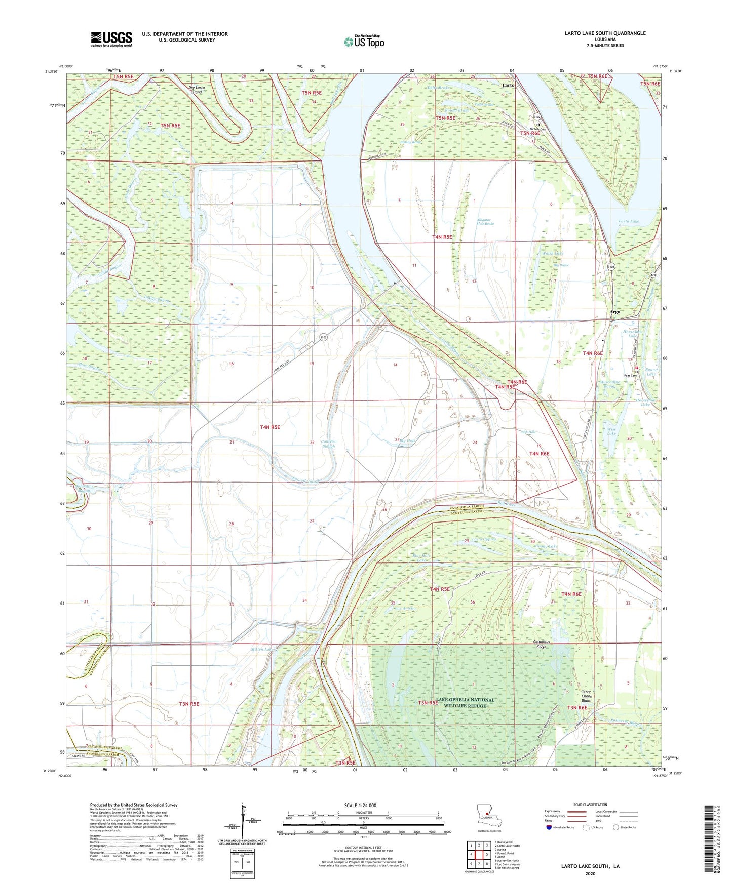
2024 topographic map quadrangle Larto Lake South in the state of Louisiana. Scale: 1:24000. Based on the newly updated USGS 7.5' US Topo map series, this map is in the following counties: Catahoula, Avoyelles. The map contains contour data, water features, and other items you are used to seeing on USGS maps, but also has updated roads and other features. This is the next generation of topographic maps. Printed on high-quality waterproof paper with UV fade-resistant inks.
Quads adjacent to this one:
West: Powell Point
Northwest: Buckeye NE
North: Larto Lake North
Northeast: Mayna
East: Acme
Southeast: Ile Natchitoches
South: Lac Sainte Agnes
Southwest: Marksville North
This map covers the same area as the classic USGS quad with code o31091c8.
Contains the following named places: Alligator Hole Brake, Argo, Big Brake, Big Hole, Big Larto Bayou Oil Field, Blue Hole Lake, Boggy Bayou, Bonshaven Landing Strip, Book Oil Field, Brushy Brake, Buffalo Bayou, Bull Lake Slough, Central High School, Columbus Ridge, Cow Pen Slough, Delta Brake, Devils Lake, Dish Pan Brake, Dry Open Bayou, Duck Bayou, Duck Lake, Fish Hole, Fisher Lake, Horseshoe Lake, Hutook Lake, Indigo Bayou, Jimmy Lake, Lac a Cypres, Lac Amelia, Lac Long, Larto, Larto Bayou, Larto Church, Larto Lake, Larto Lake Dam, Larto Oil Field, Larto Post Office, Larto Volunteer Fire Department, Mitten Lake, Muscadine Bayou, Nichols Cemetery, Nichols Lake, Palmetto Bayou, Paulk Brake, Peas Cemetery, Possum Bayou, Powell Cutoff, Round Brake, Round Lake, Saline Bayou, Saline Bayou Campground, Saline Lake Oil Field, Shoe Bayou Oil Field, South Larto Lake Oil Field, Swan Lake, Terre Chene Blanc, Walsh Lake, Wise Lake