MyTopo
North Bend Louisiana US Topo Map
Couldn't load pickup availability
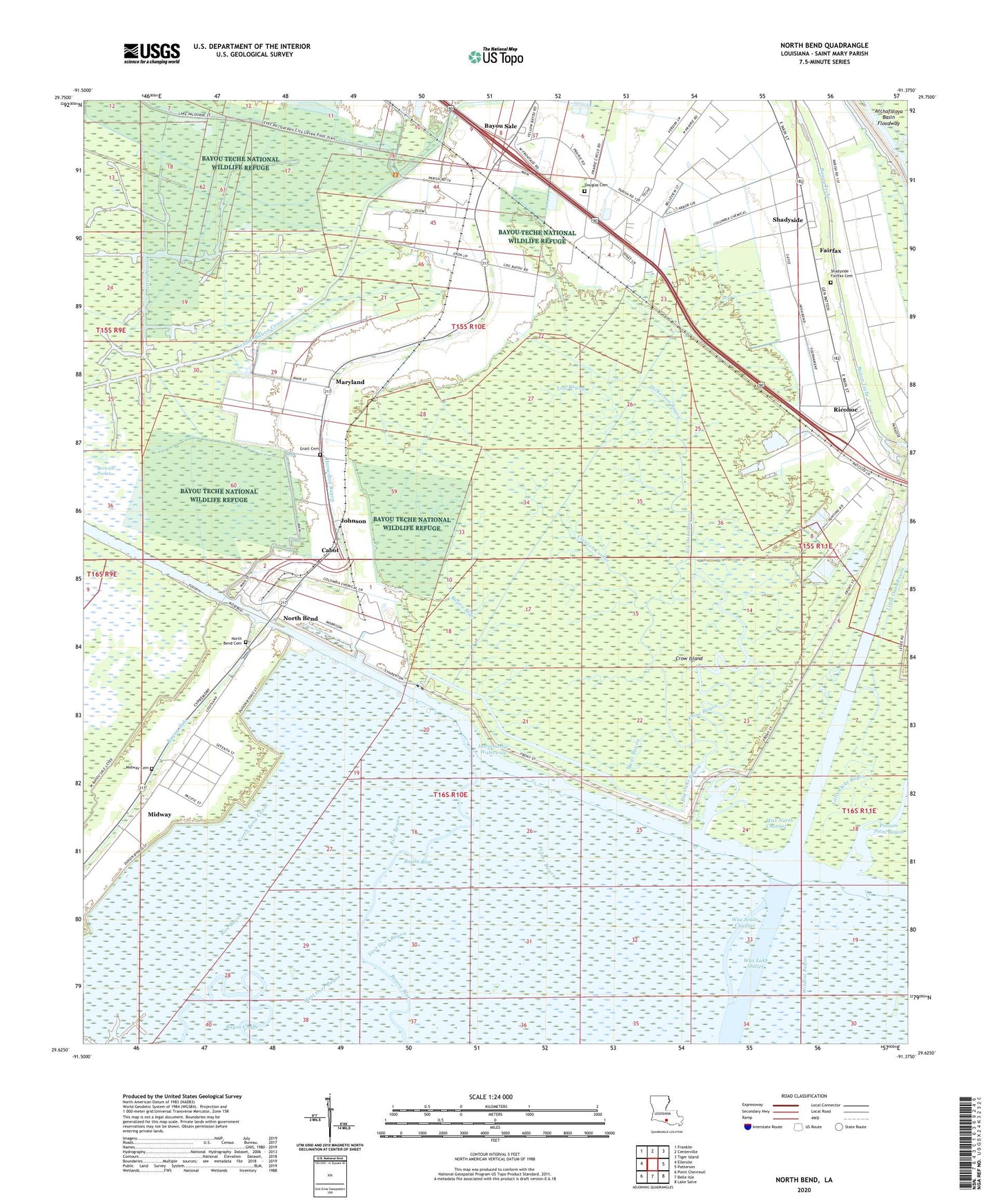
2024 topographic map quadrangle North Bend in the state of Louisiana. Scale: 1:24000. Based on the newly updated USGS 7.5' US Topo map series, this map is in the following counties: St. Mary. The map contains contour data, water features, and other items you are used to seeing on USGS maps, but also has updated roads and other features. This is the next generation of topographic maps. Printed on high-quality waterproof paper with UV fade-resistant inks.
Quads adjacent to this one:
West: Ellerslie
Northwest: Franklin
North: Centerville
Northeast: Tiger Island
East: Patterson
Southeast: Lake Salve
South: Belle Isle
Southwest: Point Chevreuil
This map covers the same area as the classic USGS quad with code o29091f4.
Contains the following named places: Balco, Bayou Blue, Bayou Sale, Bear Bayou, Berwick Pocket, Bethel Bayou, Big Oaks Bayou, Cabot, Clausen, Clausen Coulee, Crow Bayou, Crow Island, Douglas Cemetery, East Over Bayou, Fairfax, Garden City Gas and Oil Field, Gratt Cemetery, Hickerson Bayou, Johnson, Lattery Canal, Little Oaks Bayou, Little Zion Church, Log Bayou, Maria, Maryland, Midway, Midway Cemetery, North Bend, North Bend Canal, North Bend Cemetery, Plume Bayou, Rice Bayou, Ricohoc, Saint Mary Parish, Saint Mary Parish Sheriff's Office, Shadyside, Shadyside - Fairfax Cemetery, Todd, Ward Four, Wax North Channel, Wax South Channel, West Over Bayou, Wildcat Bayou, Yellow Bayou Canal