MyTopo
Pine Louisiana US Topo Map
Couldn't load pickup availability
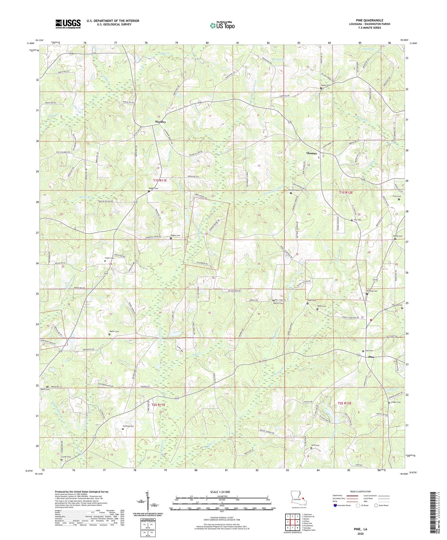
2020 topographic map quadrangle Pine in the state of Louisiana. Scale: 1:24000. Based on the newly updated USGS 7.5' US Topo map series, this map is in the following counties: Washington. The map contains contour data, water features, and other items you are used to seeing on USGS maps, but also has updated roads and other features. This is the next generation of topographic maps. Printed on high-quality waterproof paper with UV fade-resistant inks.
Quads adjacent to this one:
West: Clifton
Northwest: Tylertown
North: Tylertown SE
Northeast: Dexter
East: State Line
Southeast: Bogalusa West
South: Sheridan
Southwest: Franklinton
Contains the following named places: Aces Creek School, Acys Creek, Acys Creek Baptist Church, Beard Cemetery, Black Jack School, Boggy Branch, Breland Cemetery, Camp Seven, Crain Cemetery, Crains Creek School, Curter Cemetery, Duncan Cemetery, East Fork Burch Creek, East Fork Lawrence Creek, Faith Cemetery, Faith Church, Fisher Cemetery, Gay Cemetery, Gerald Cemetery, Hackley, Hays Church, Hunt Cemetery, Hurricane School, Indian Creek, Knight Cemetery, Lawrences Creek Baptist Church, Magee Cemetery, Martin Cemetery, Millers Creek School, Missionary Church, Morgan Branch, Mount Zion Holiness Church, Noble Cemetery, Orrs Store, Parish Governing Authority District 10, Parish Governing Authority District 6, Payne Cemetery, Pine, Pine Cemetery, Pine First Baptist Church, Pine Junior Senior High School, Pine School, Rodgers Mill, Schilling Cemetery, Thomas, Thomas Branch, Thomas Cemetery, Thomas Elementary School, Thomas First Baptist Church, Thomas School, Tom Branch, Ward Eight, Warren Cemetery, Washington Parish Fire District 4, Washington Parish Fire Protection District 3, Water Valley Church, West Fork Burch Creek, West Fork Lawrence Creek