MyTopo
Robeline Louisiana US Topo Map
Couldn't load pickup availability
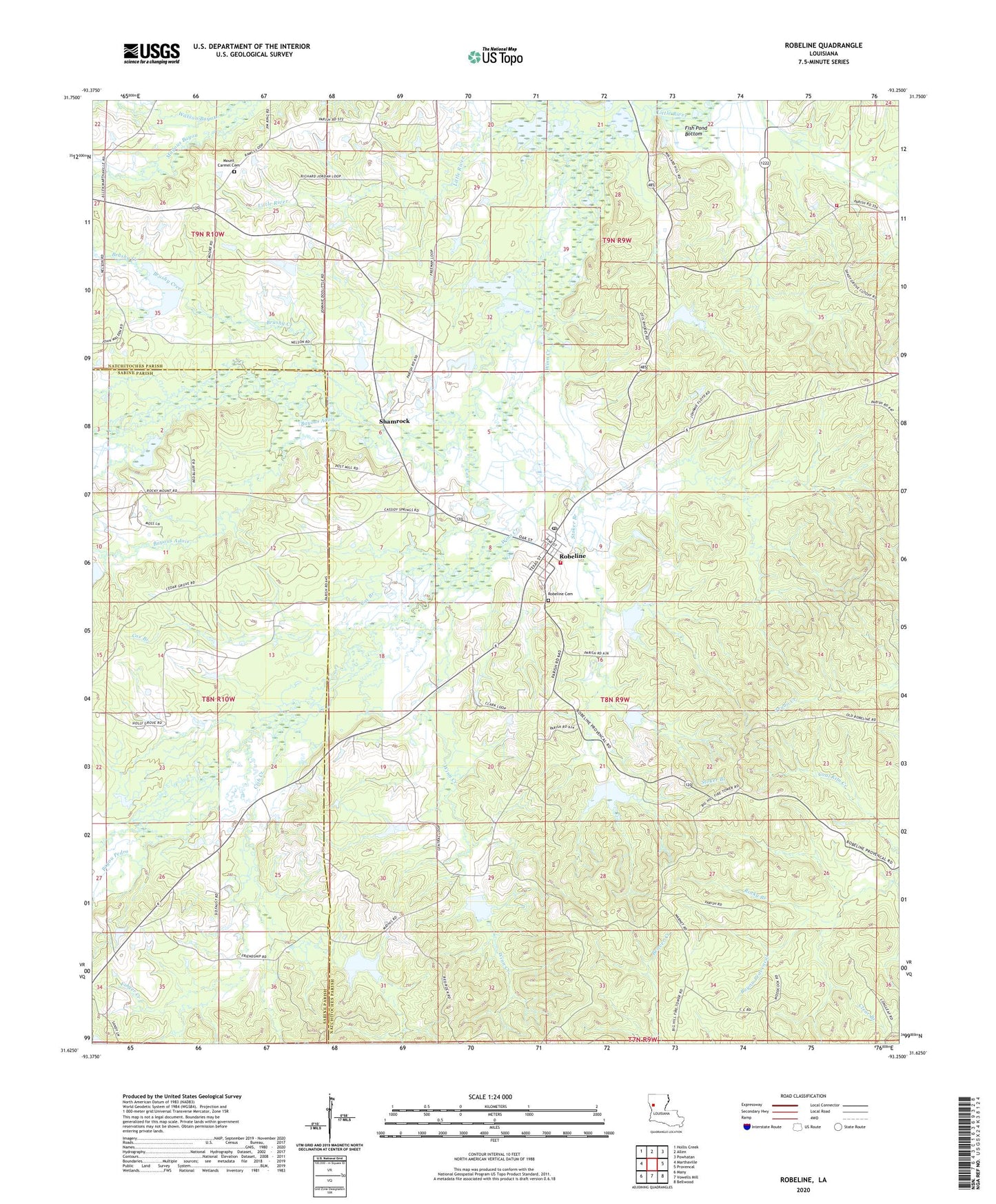
2024 topographic map quadrangle Robeline in the state of Louisiana. Scale: 1:24000. Based on the newly updated USGS 7.5' US Topo map series, this map is in the following counties: Natchitoches, Sabine. The map contains contour data, water features, and other items you are used to seeing on USGS maps, but also has updated roads and other features. This is the next generation of topographic maps. Printed on high-quality waterproof paper with UV fade-resistant inks.
Quads adjacent to this one:
West: Marthaville
Northwest: Hollis Creek
North: Allen
Northeast: Powhatan
East: Provencal
Southeast: Bellwood
South: Vowells Mill
Southwest: Many
This map covers the same area as the classic USGS quad with code o31093f3.
Contains the following named places: Adais Caddo State Designated Tribal Statistical Area, Adois, Bayou Bonna Vista, Bayou Dupont, Bayou Dupont Number 13 Dam, Bayou Dupont Number 14 Dam, Bayou Dupont Number 15 Dam, Bayou Dupont Number 17 Dam, Bayou Dupont Number 18 Dam, Bayou Dupont Number 19 Dam, Bayou Dupont Number 20 Dam, Bayou Dupont Number 22 Dam, Bayou Dupont Number Eight Dam, Bayou Dupont Number Nine Dam, Bayou Dupont Number Seven Dam, Bayou Pedro, Bayous Adois, Big Hill Lookout Tower, Brushy Creek, Castor Spring Church, Central Church, Clear Branch, Cox Branch, Crib Creek, Double Springs, Finger Creek, Fish Pond Bottom, Friendship Church, Friendship School, Holly Grove Church, Lambert School, Los Adaes, Los Adaes State Historic Site, Mount Carmel Cemetery, Mount Carmel Church, Natchitoches Parish Fire Protection District 7 Station 1, Natchitoches Parish Fire Protection District 7 Station 6, Pine Grove Church, Robeline, Robeline Cemetery, Robeline Gas Field, Robeline Methodist Church, Robeline Post Office, Rocky Branch, Rocky Mount Church, Rocky Mount School, Sawmill Camp, Shady Grove, Shady Grove School, Shamrock, Stoker Branch, Union Grove Church, Village of Robeline, Ward Three, Winn Creek, ZIP Code: 71469


