MyTopo
Hollis Creek Louisiana US Topo Map
Couldn't load pickup availability
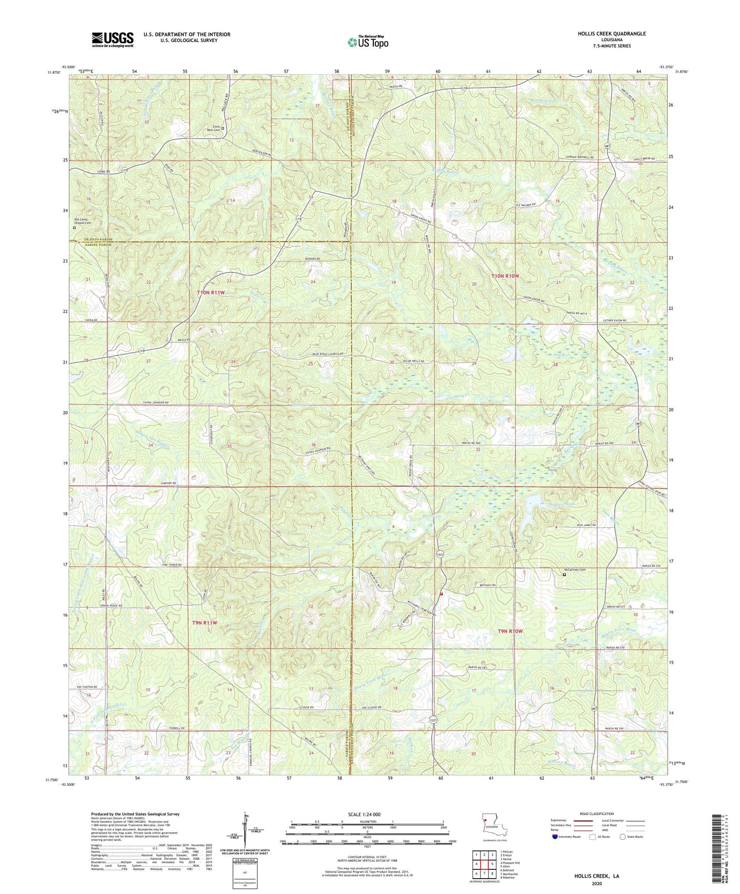
2024 topographic map quadrangle Hollis Creek in the state of Louisiana. Scale: 1:24000. Based on the newly updated USGS 7.5' US Topo map series, this map is in the following counties: Natchitoches, Sabine, De Soto. The map contains contour data, water features, and other items you are used to seeing on USGS maps, but also has updated roads and other features. This is the next generation of topographic maps. Printed on high-quality waterproof paper with UV fade-resistant inks.
Quads adjacent to this one:
West: Pleasant Hill
Northwest: Pelican
North: Evelyn
Northeast: Hanna
East: Allen
Southeast: Robeline
South: Marthaville
Southwest: Belmont
This map covers the same area as the classic USGS quad with code o31093g4.
Contains the following named places: Bethel Church, Beulah Church, Blue Ridge Church, Clark School, Dobs Crossing, Dykes Creek, Haskin Creek, Hollis Creek, Jennings Chapel, Lockes Ponds, Lovick School, McCartney Cemetery, McCaskill Church, Mineral, Natchitoches Parish Fire Protection District 7 Station 4, New Hope Church, Palmetto School, Pine Grove School, Rosa Chapel, San Miquel Creek Oil Field, Stacy Creek, Union Grove Church, Union Grove School, Williams Church, Zion Rest Church, ZIP Code: 71450