MyTopo
Saint Landry Louisiana US Topo Map
Couldn't load pickup availability
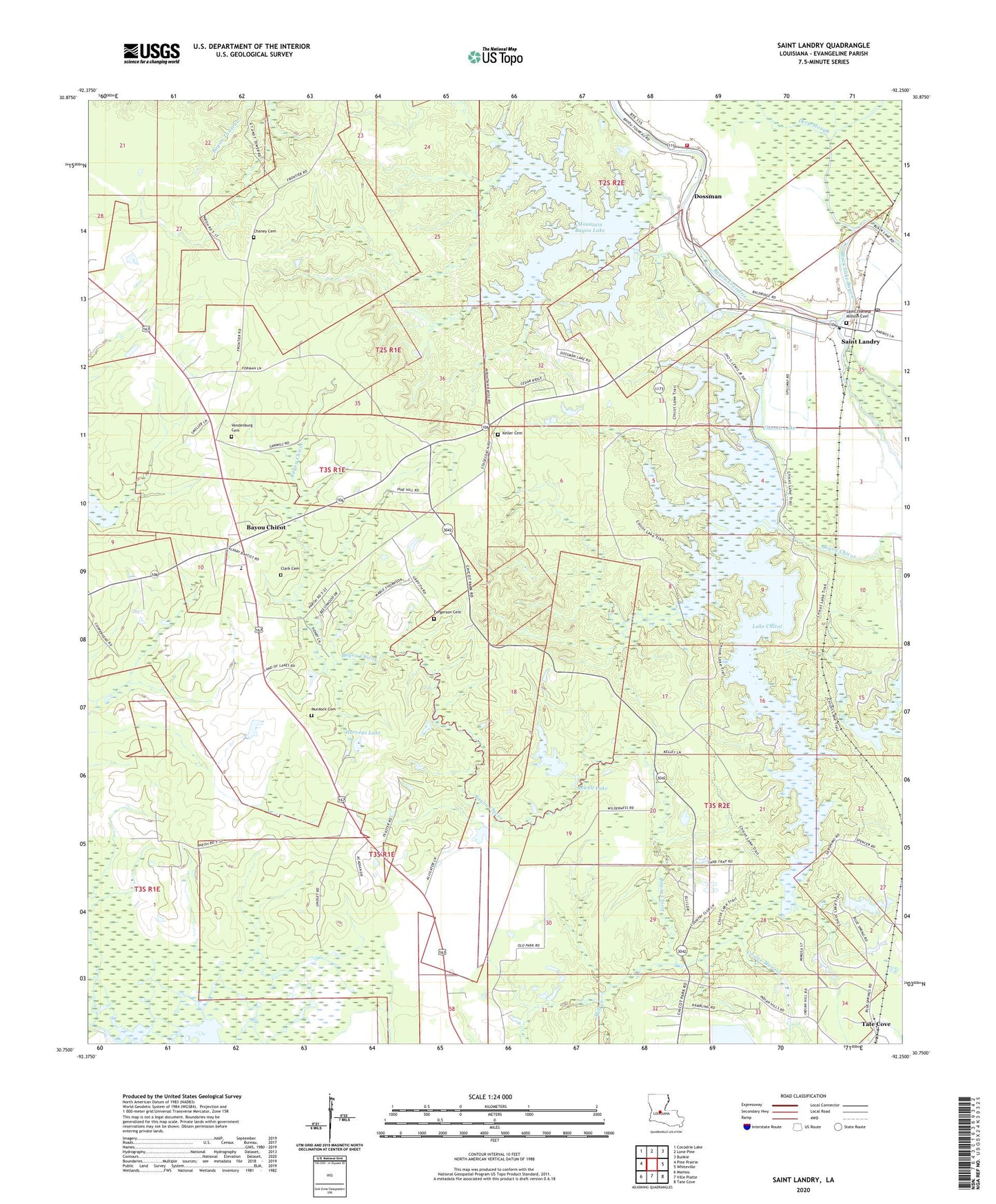
2024 topographic map quadrangle Saint Landry in the state of Louisiana. Scale: 1:24000. Based on the newly updated USGS 7.5' US Topo map series, this map is in the following counties: Evangeline. The map contains contour data, water features, and other items you are used to seeing on USGS maps, but also has updated roads and other features. This is the next generation of topographic maps. Printed on high-quality waterproof paper with UV fade-resistant inks.
Quads adjacent to this one:
West: Pine Prairie
Northwest: Cocodrie Lake
North: Lone Pine
Northeast: Bunkie
East: Whiteville
Southeast: Tate Cove
South: Ville Platte
Southwest: Mamou
This map covers the same area as the classic USGS quad with code o30092g3.
Contains the following named places: Aswell Lake, Bayou Chicot, Bayou Chicot Elementary School, Bayou Chicot Methodist Church, Black Lake, Black Lake Bayou, Cazans Lake Dam, Chaney Cemetery, Chicot Church, Chicot Head Start School, Chicot Lake Dam, Chicot State Park, Chicota Lake, Chicota Youth Camp, Choctaw Bayou, Clark Cemetery, Deep Slough, Doctor Charles Aswell Lake Dam, Dossman, Dossman Lake, Ebnor Spur, Fergerson Cemetery, Harveys Lake, Hester Heath Elementary School, Keller Cemetery, Lake Chicot, Little Union Church, Louisiana State Arboretum, Mill Creek, Morning Pilgrim Baptist Church, Mount Triumph Baptist Church, Mountain Bayou Lake, Mountain Bayou Scout Camp, Murdock Cemetery, Negro Lake, Omo, Parish Governing Authority District 5, Saint James Baptist Church, Saint Landry, Saint Landry Post Office, Saint Landry Volunteer Fire Department, Vandenburg Cemetery, Ville Platte Golf and Country Club, Ward Five, Woodson Harvey Junior Lake Number One Dam, Woodson Harvey Junior Lake Number Three Dam, Woodson Harvey Junior Lake Number Two Dam


