MyTopo
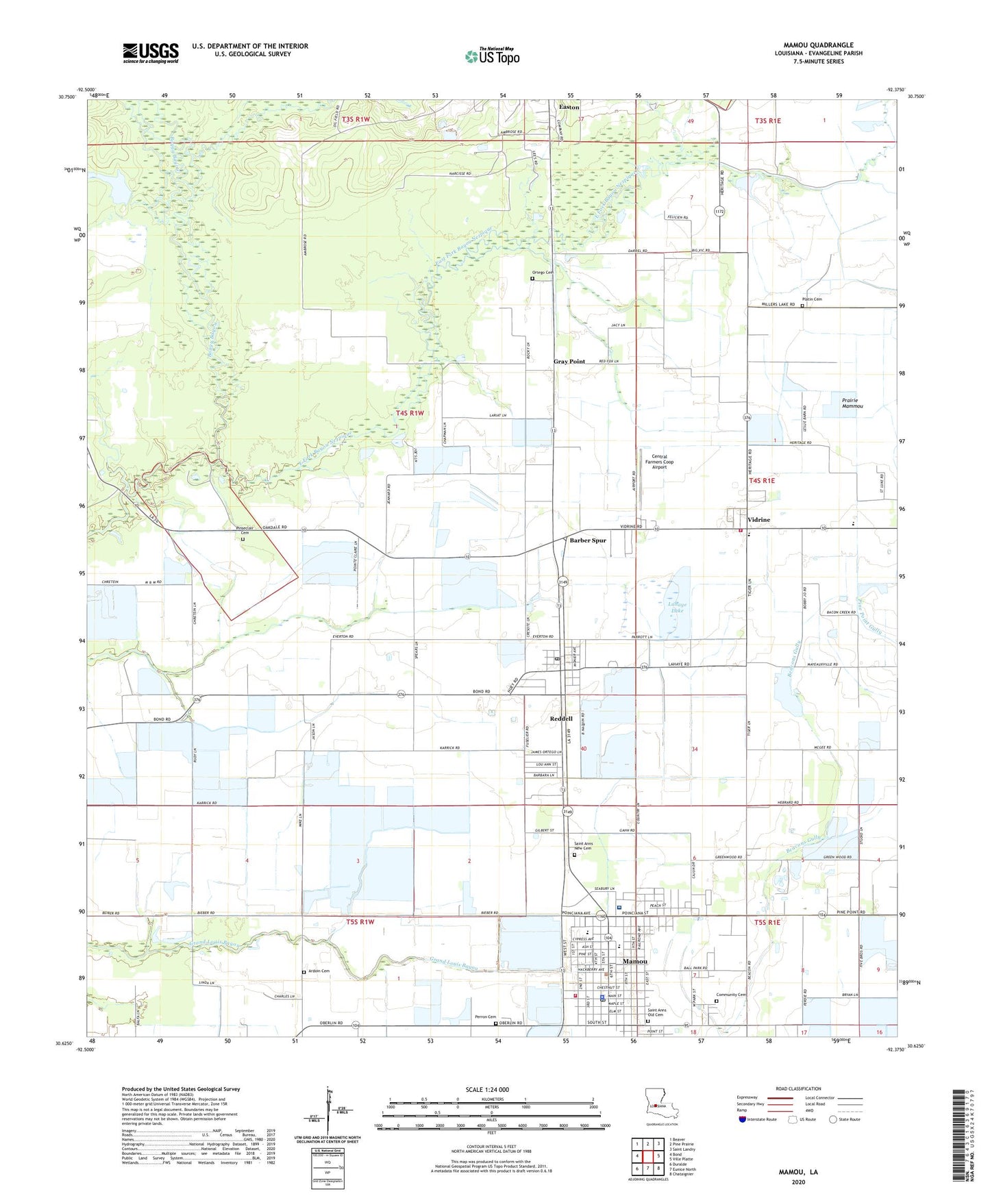
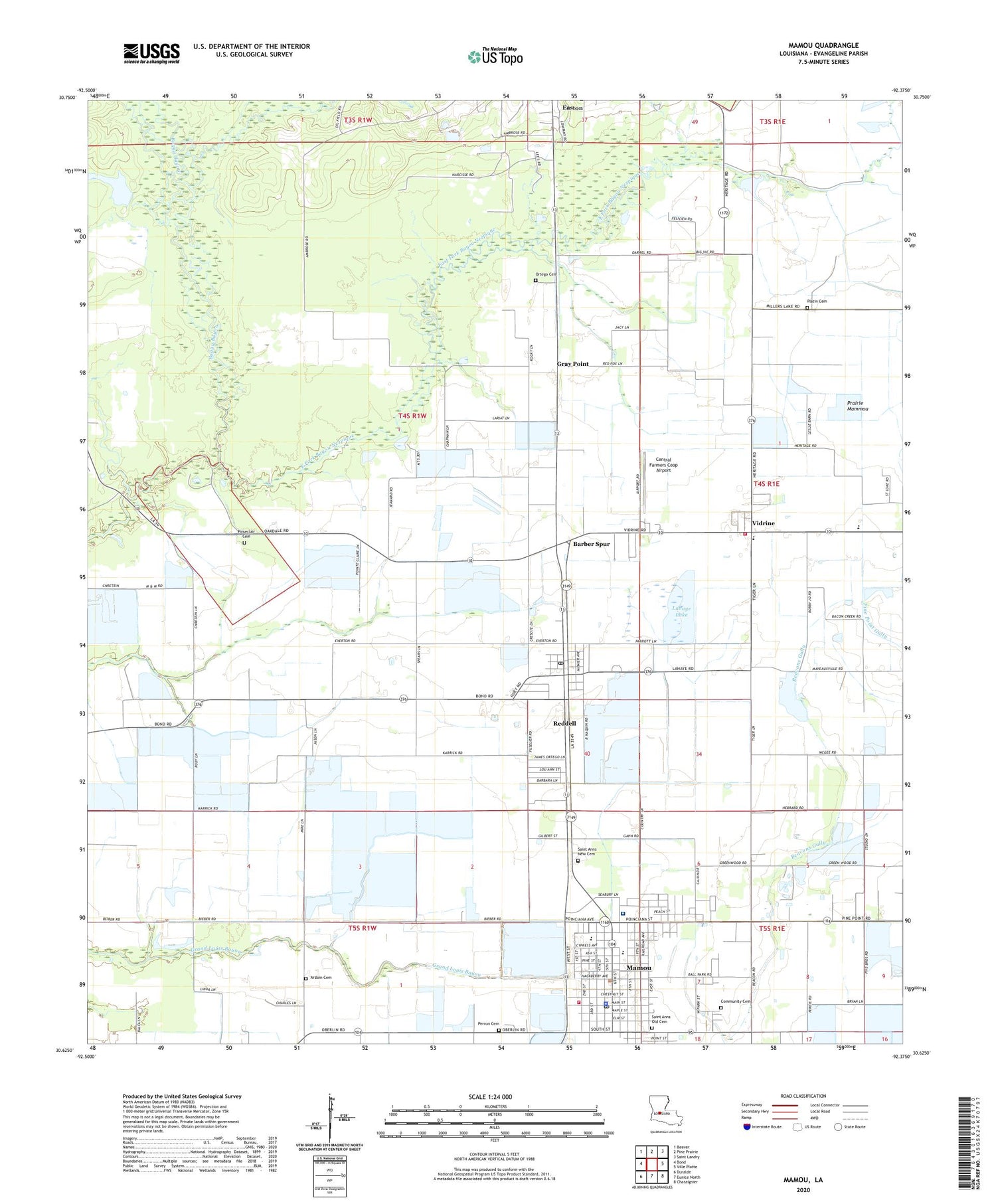
Mamou Louisiana US Topo Map
Couldn't load pickup availability
2024 topographic map quadrangle Mamou in the state of Louisiana. Scale: 1:24000. Based on the newly updated USGS 7.5' US Topo map series, this map is in the following counties: Evangeline. The map contains contour data, water features, and other items you are used to seeing on USGS maps, but also has updated roads and other features. This is the next generation of topographic maps. Printed on high-quality waterproof paper with UV fade-resistant inks.
Quads adjacent to this one:
West: Bond
Northwest: Beaver
North: Pine Prairie
Northeast: Saint Landry
East: Ville Platte
Southeast: Chataignier
South: Eunice North
Southwest: Duralde
This map covers the same area as the classic USGS quad with code o30092f4.
Contains the following named places: Ardoin Cemetery, Barber Spur, Boggy Bayou, Central Farmers Coop Airport, Chapel of the Holy Spirit, Clandreneau Park, Community Cemetery, Evangeline Central School, Evangeline Extended Care Hospital Mamou, Evangeline Parish, Evangeline Parish Library Mamou Branch, Evangeline Parish Police Jury, First Baptist Church, Gray Point, Kids Korner Day Care Center, Lahaye Lake, Lahaye Lake Dam, Louisiana Noname 104 Dam, Mamou, Mamou Church of Christ, Mamou Elementary School, Mamou Head Start School, Mamou High School, Mamou Lower Elementary School, Mamou Oil Field, Mamou Police Department, Mamou Volunteer Fire Department, Mamou Wastewater Treatment Facility, Ortego Cemetery, Parish Governing Authority District 3, Perron Cemetery, Pine Prairie Oil and Gas Field, Pinseclair Cemetery, Platin Cemetery, Reddell, Reddell Census Designated Place, Reddell Oil and Gas Field, Reddell Post Office, Saint Ann Catholic Church, Saint Anns New Cemetery, Saint Anns Old Cemetery, Saint Luke Baptist Church, Saint Paul Baptist Church, Saint Teresa Church, Savoy Care Center, Savoy Medical Center, Town of Mamou, Vidrine, Vidrine Elementary School, Ward Three, Zion Baptist Church, ZIP Code: 70580


