MyTopo
State Line Louisiana US Topo Map
Couldn't load pickup availability
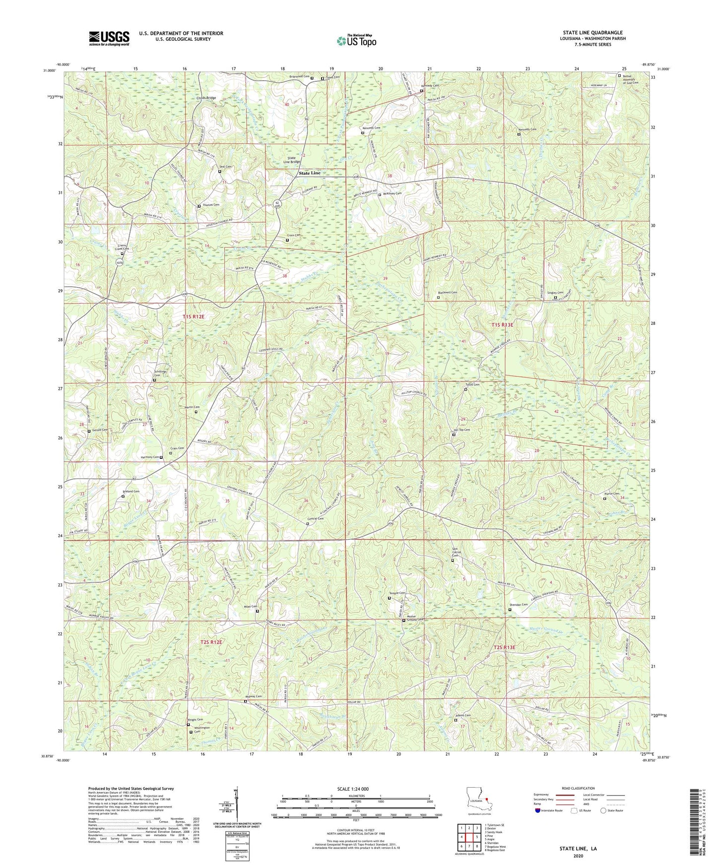
2020 topographic map quadrangle State Line in the state of Louisiana. Scale: 1:24000. Based on the newly updated USGS 7.5' US Topo map series, this map is in the following counties: Washington. The map contains contour data, water features, and other items you are used to seeing on USGS maps, but also has updated roads and other features. This is the next generation of topographic maps. Printed on high-quality waterproof paper with UV fade-resistant inks.
Quads adjacent to this one:
West: Pine
Northwest: Tylertown SE
North: Dexter
Northeast: Sandy Hook
East: Angie
Southeast: Bogalusa East
South: Bogalusa West
Southwest: Sheridan
Contains the following named places: Adams Cemetery, Bethel Assembly of God Cemetery, Bilbo Branch, Blackwell Cemetery, Breland Cemetery, Briarwood Baptist Church, Briarwood Cemetery, Camp Branch, Camp Six, Central Cemetery, Central Missionary Baptist Church, Central School, Childs Bridge, Church of God, Crain Cemetery, Crain's Cemetery, Crains Creek, Crains Creek Cemetery, Crains Creek Missionary Baptist Church, Crystal Creek, Dean Lee State Forest, Dry Creek, East Fork Bogue Lusa Creek, East Fork Pushepatapa Creek, Forest Haven Church, Gerald Cemetery, Harmony Cemetery, Harmony Church, Henry Jefferson Kennedy Cemetery, Hill Top Cemetery, Hilltop Church, Hopgoods Mill, Indian Branch, Jamerson Creek, Jims Branch, Joes Branch, Kennedy Cemetery, Kennedy Family Cemetery, Knight Cemetery, Louisiana Noname Four Dam, Martin Cemetery, McKinsey Cemetery, Melches Branch, Midway Cemetery, Midway Missionary Baptist Church, Miley Cemetery, Monroe Creek School, Munroe Creek, Munroe Creek Church, Muster Ground Cemetery, Muster Ground Church, Nelsons Branch, Parish Governing Authority District 5, Parish Governing Authority District 8, Parish Governing Authority District 9, Pierce Cemetery, Rogers Pond, Rogers Pond Dam, Sam Carroll Cemetery, Schillings Cemetery, Seal Cemetery, Seals Bridge, Sheridan Cemetery, Singley Cemetery, State Line, State Line Bridge, State Line Church, Stubbs Creek, Temple Cemetery, Thomas Cemetery, Thomas Creek, Thomas Mill, Tullos Cemetery, Tynes Cemetery, Tynes Store, Ward Five, Ward Seven, WBOX-FM (Varnado), West Fork Pushepatapa Creek, Whittington Cemetery